She's Gone Walkabout

walkabout – a journey of one's choosing to satisfy the need to be somewhere else

Walk from Euston to Lock and Weir no. 15

After my walk yesterday to the Lock from Robinvale I wanted to get a better view of the red cliffs that were downstream from the lock but from the other side of the river. Getting to Euston would be easy as I could get an early morning lift with my brother on his way to work. I checked out the forecast. From 37 plus degree days there was a storm coming in from the west. Though it was going to be a much cooler day it was also going to be wet. The hourly forecast said the rain was due at one. With an early start, I should have plenty of time to be back before the rain.

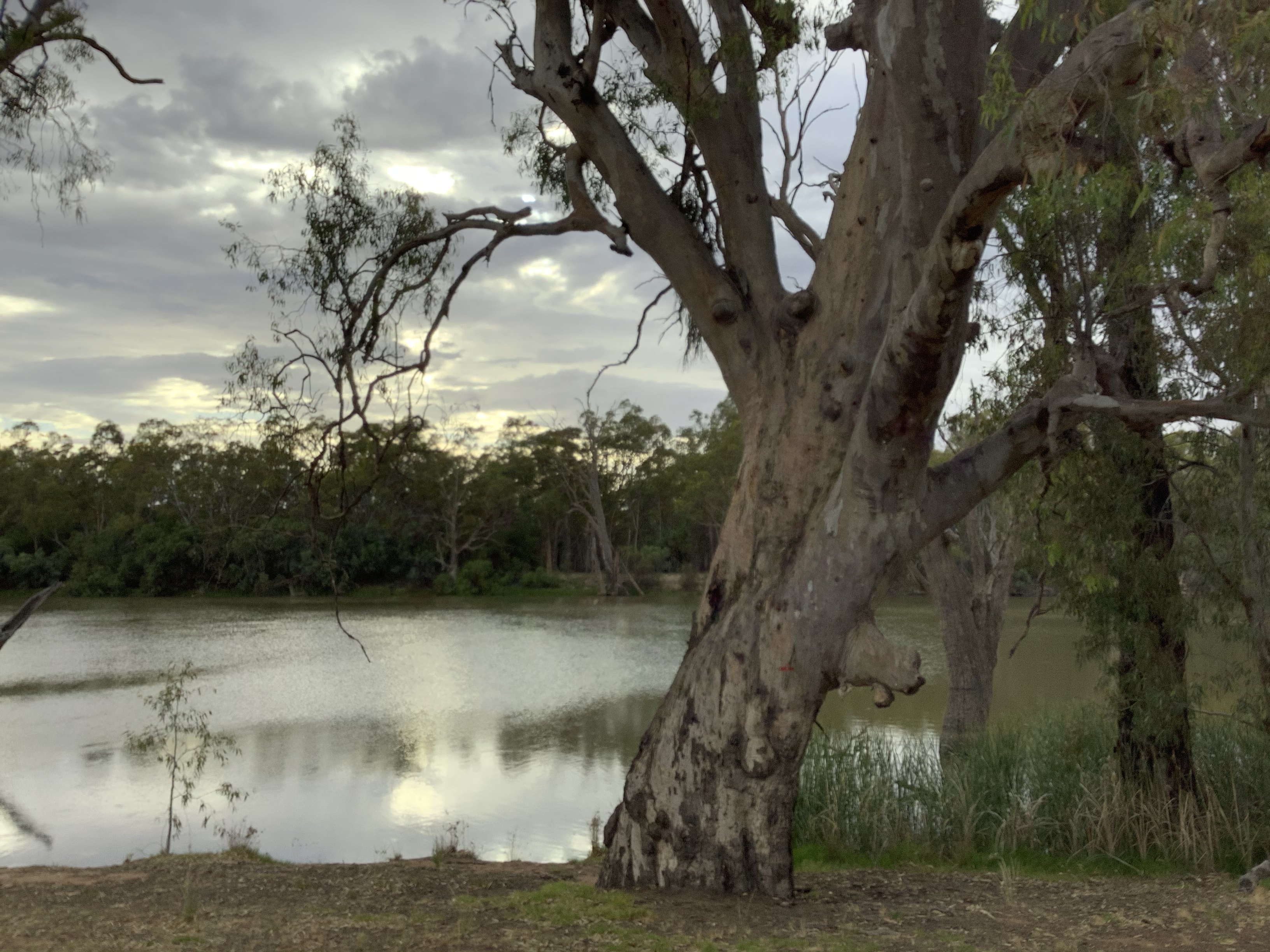
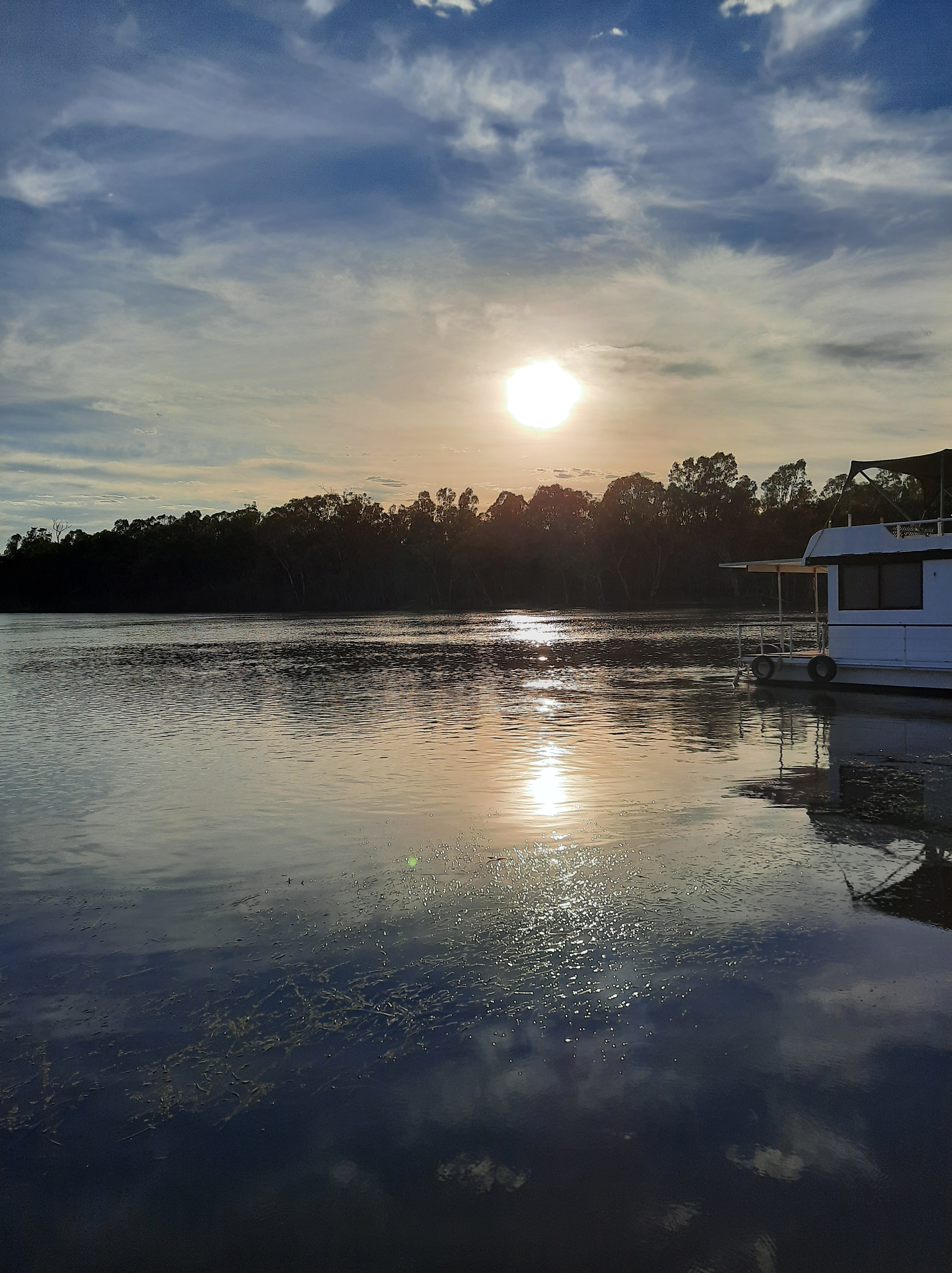
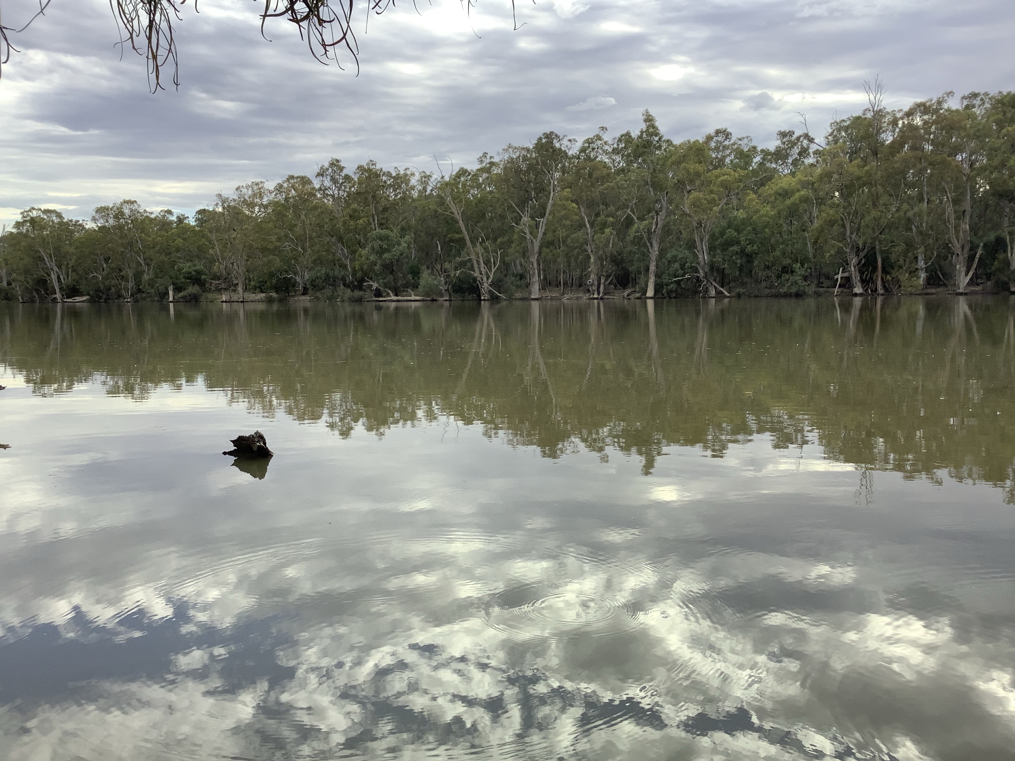
Over the water the sky was full of ominous clouds

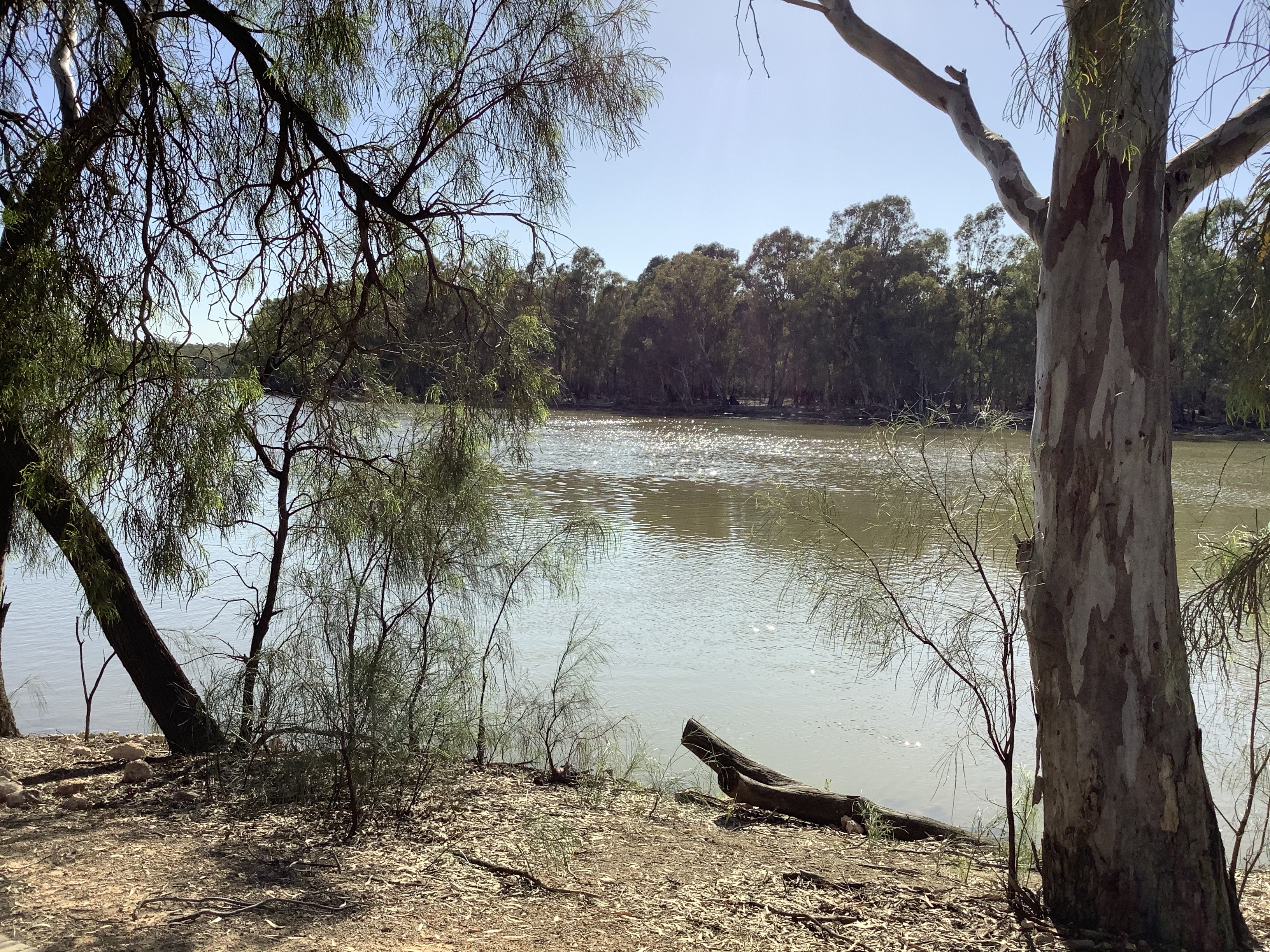
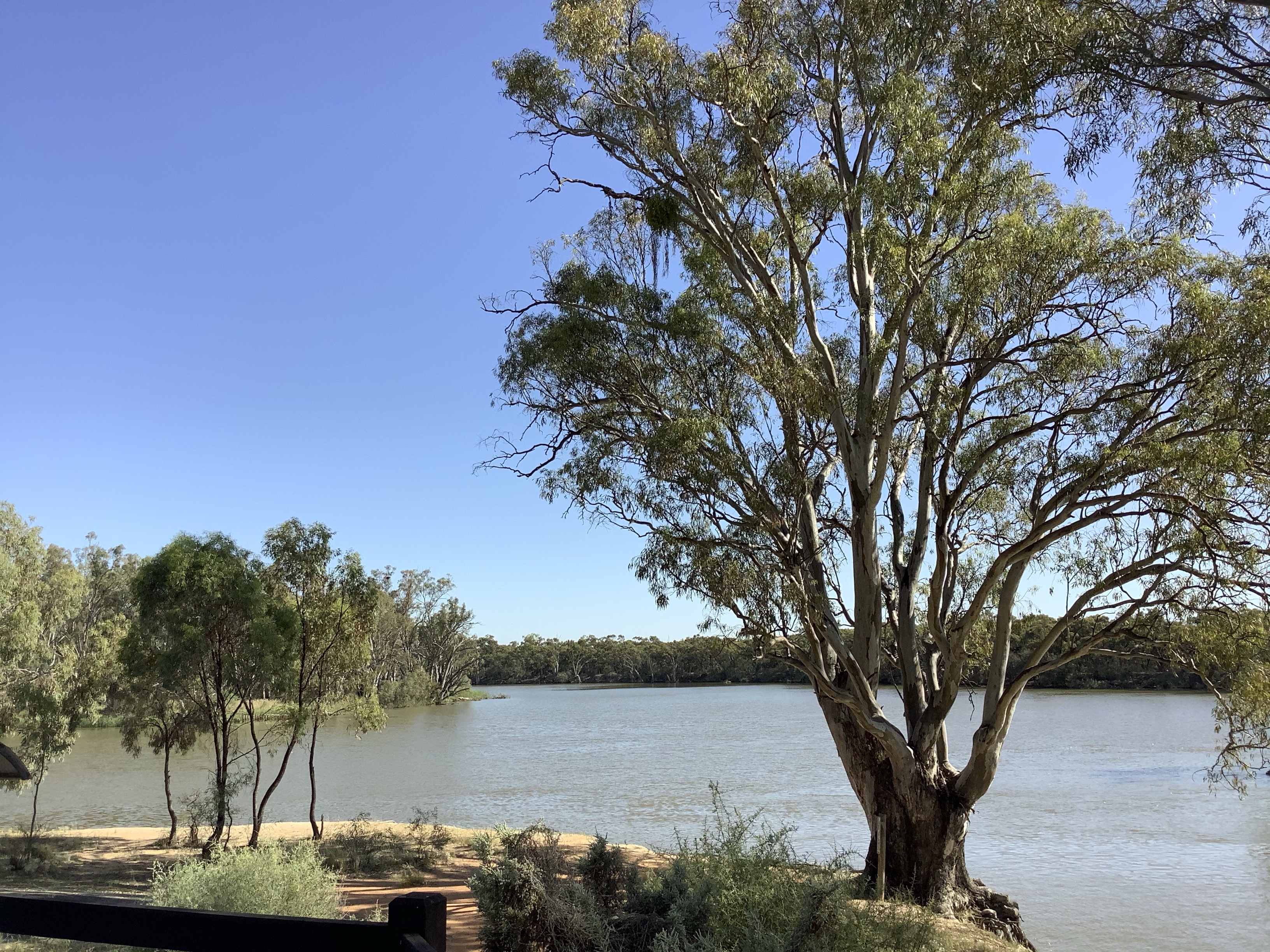
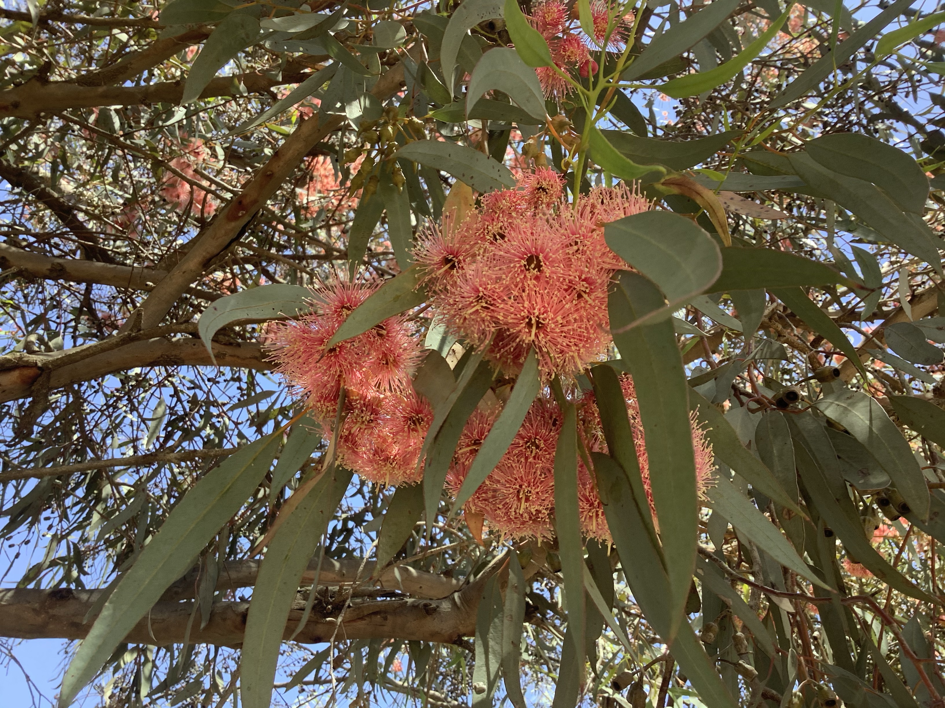
But inland the sky looked far friendlier.

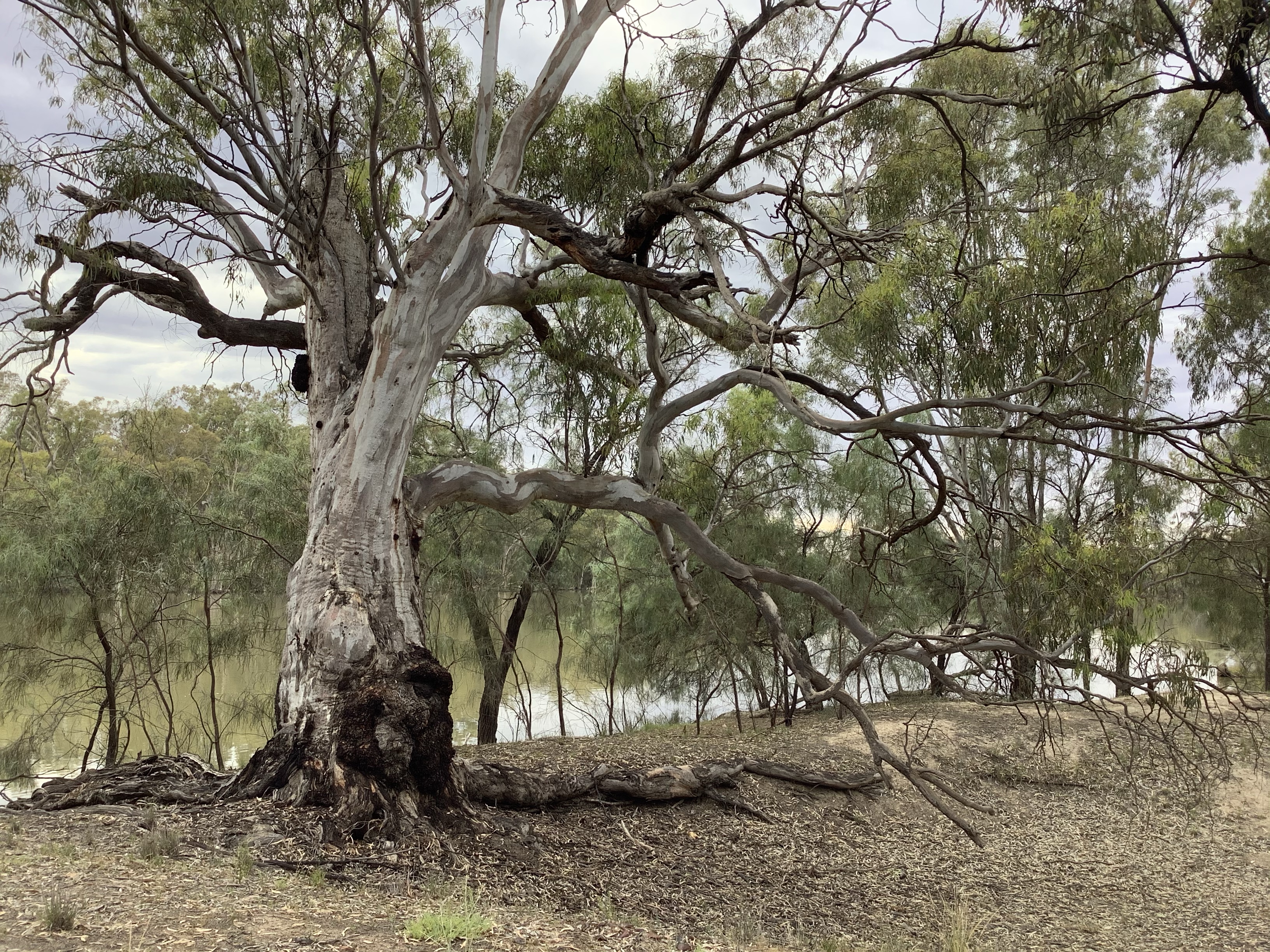
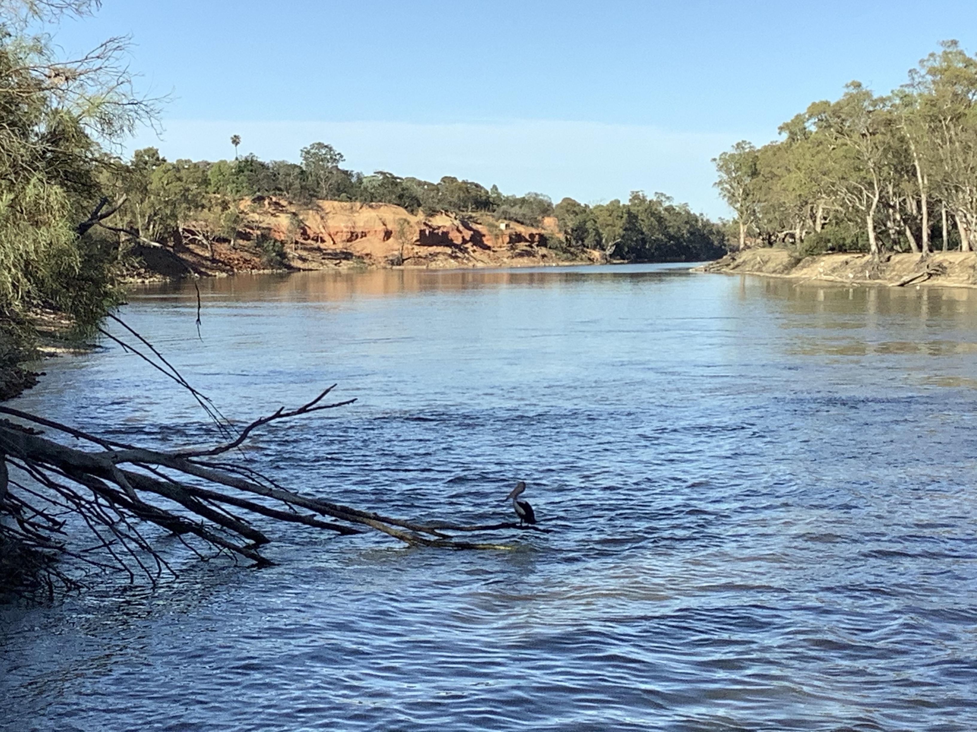
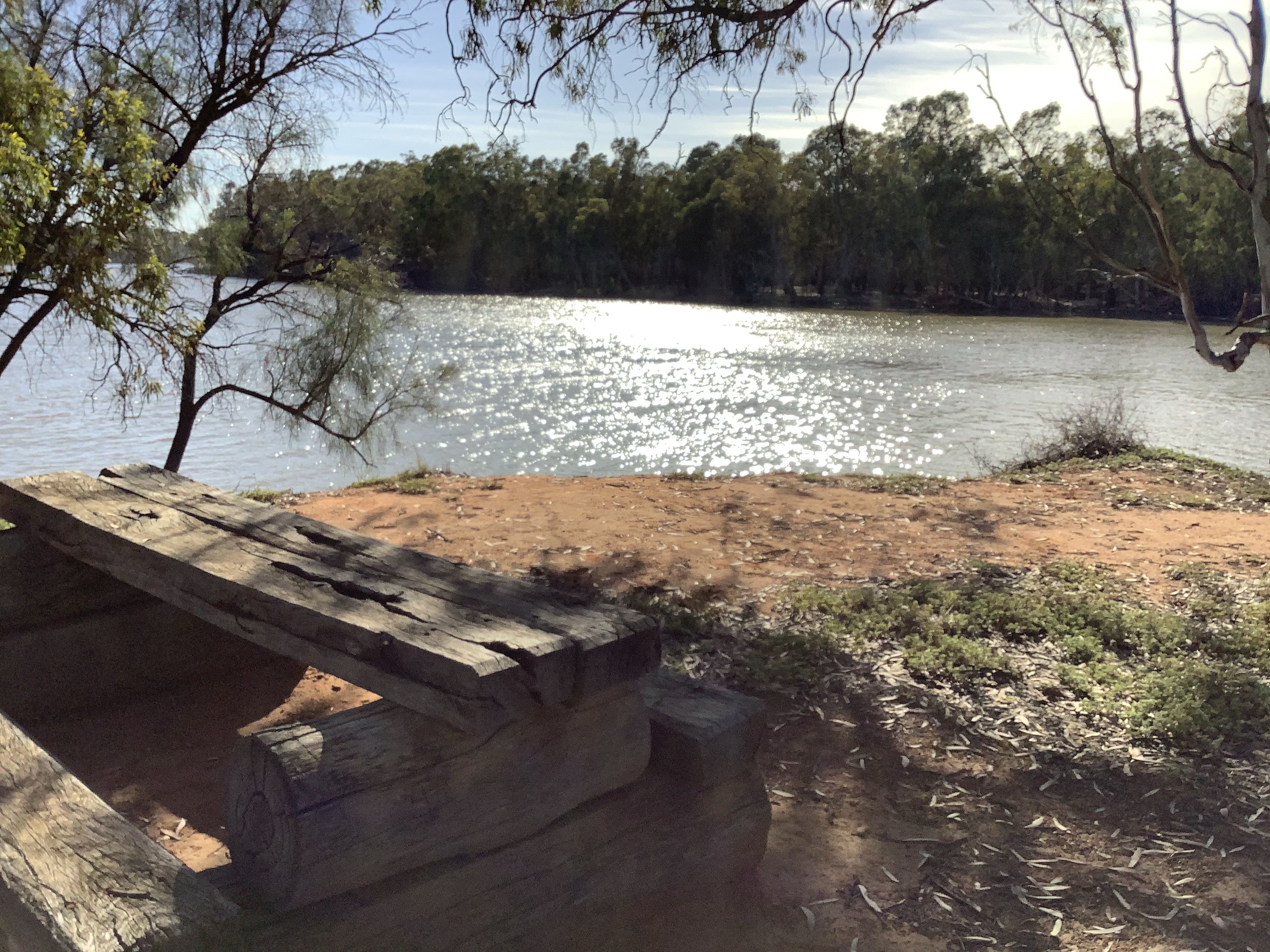
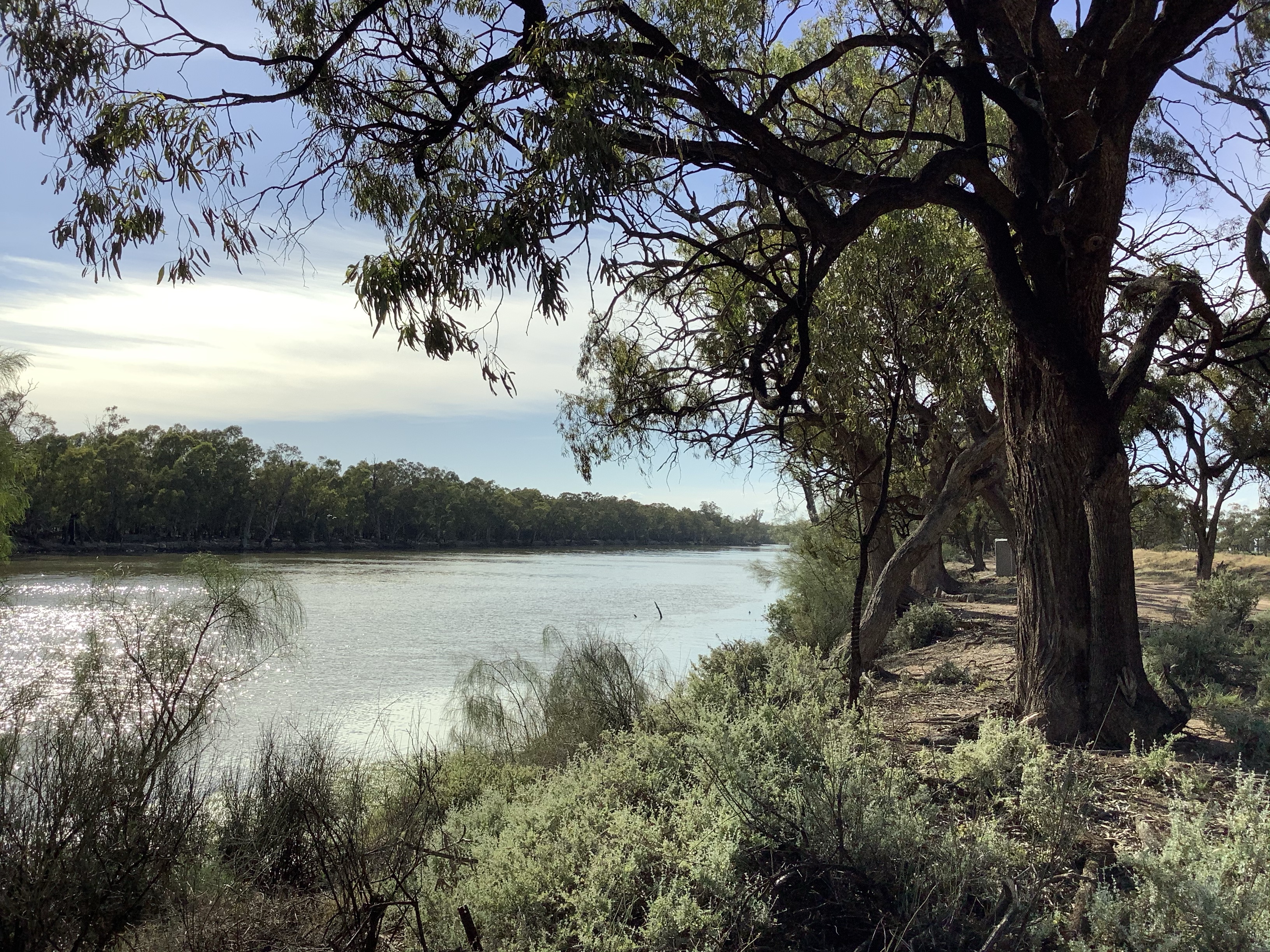
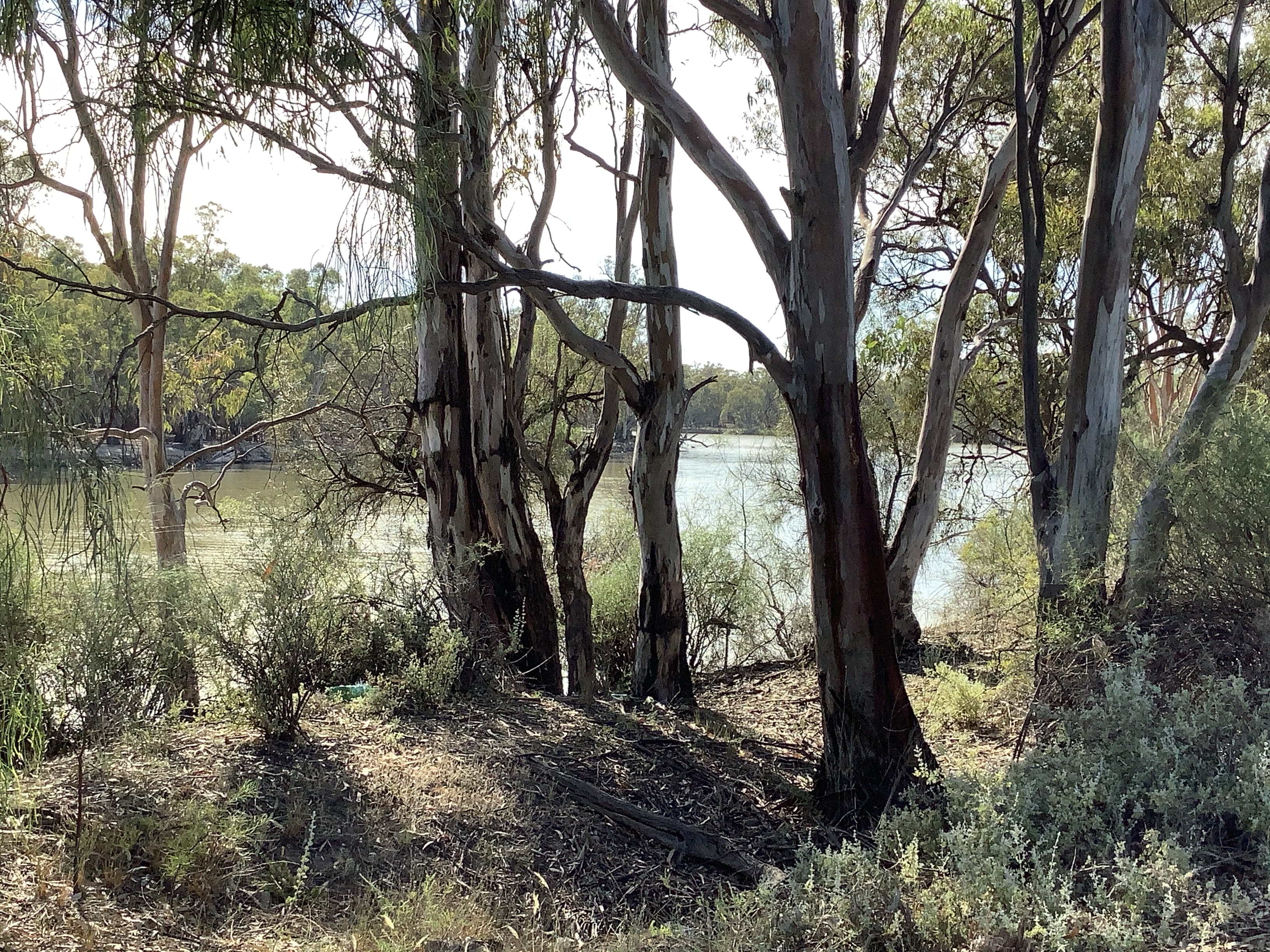
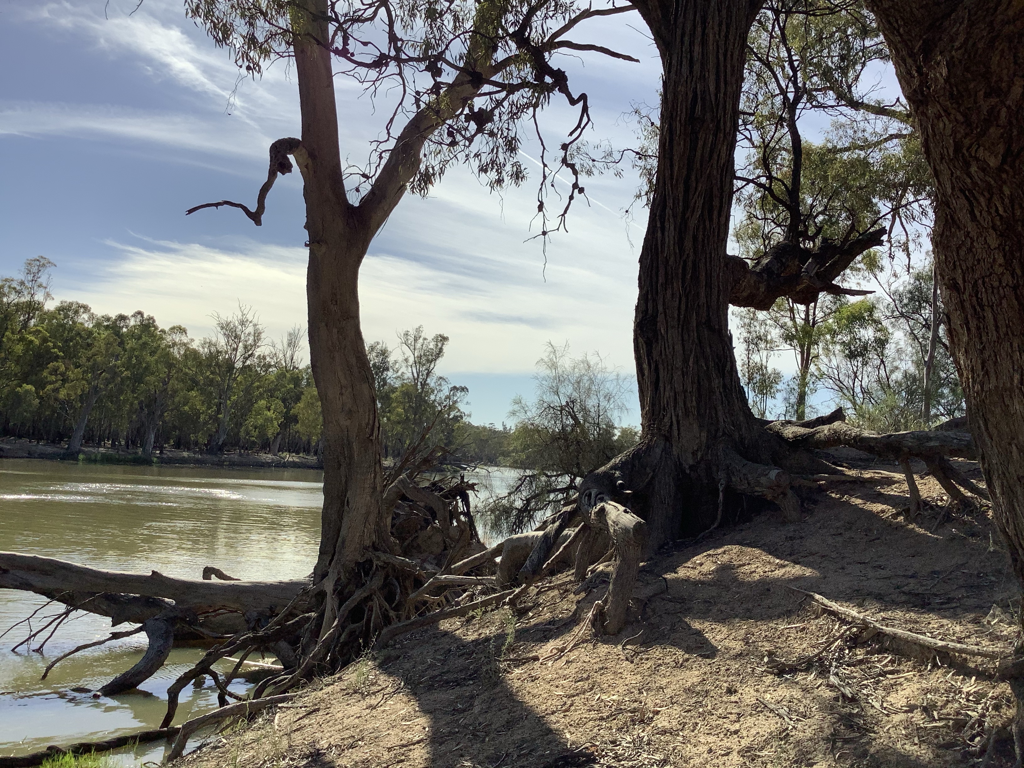
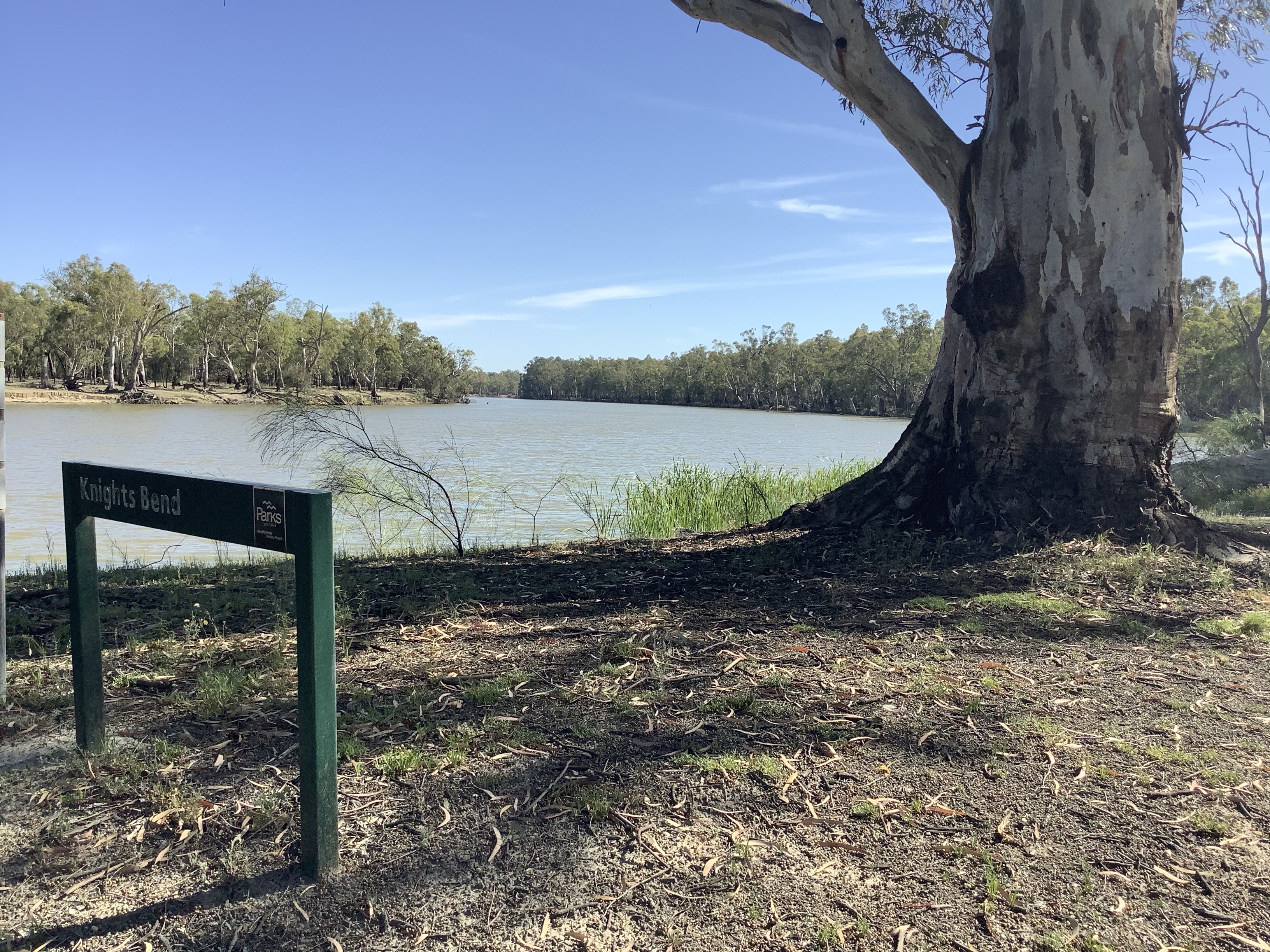
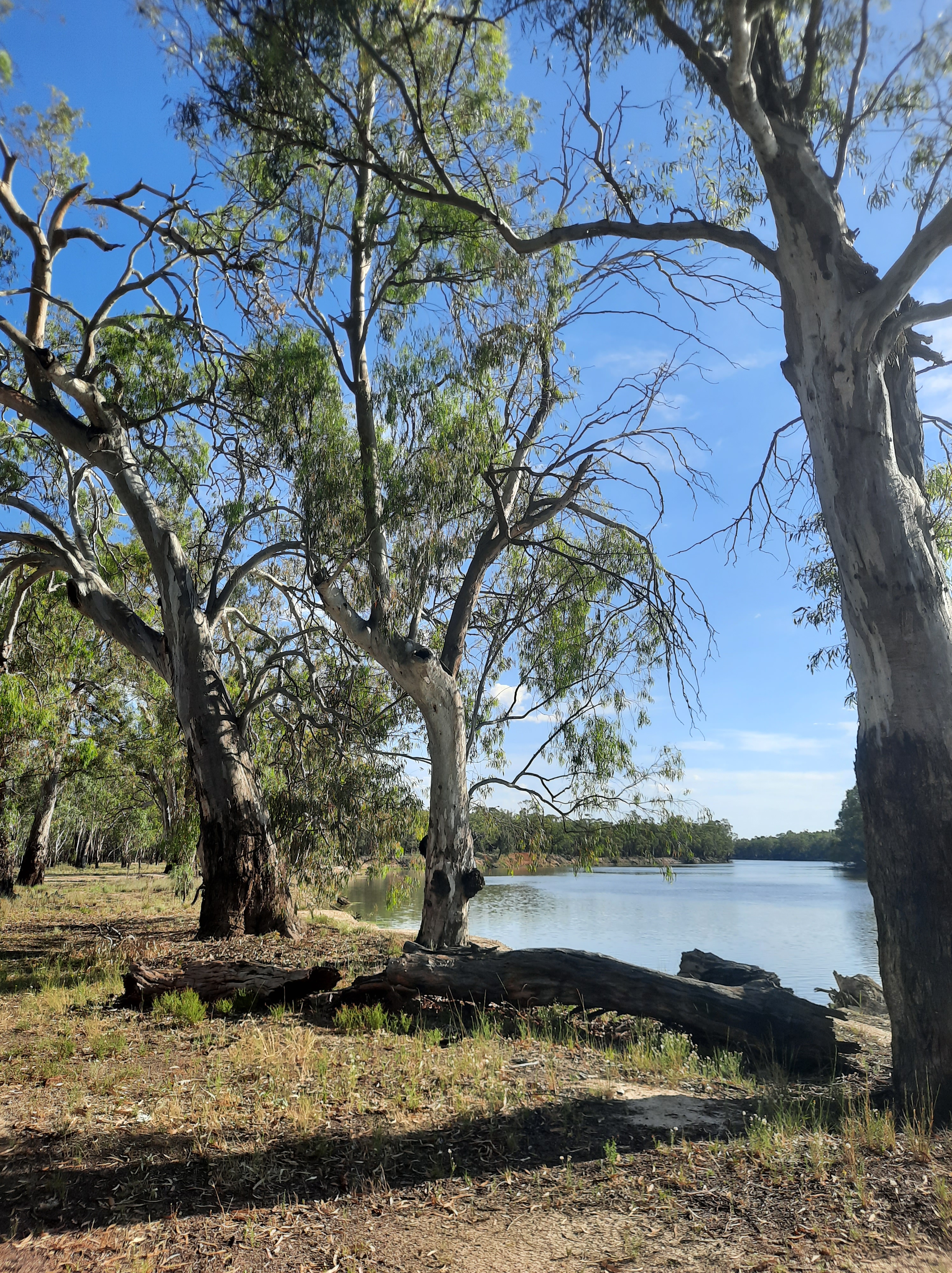
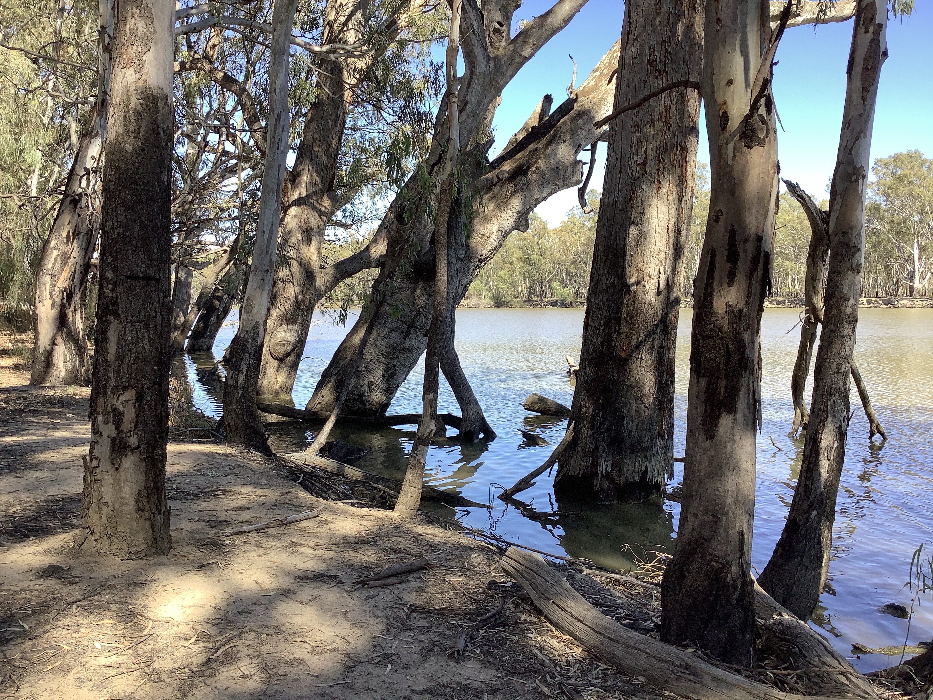
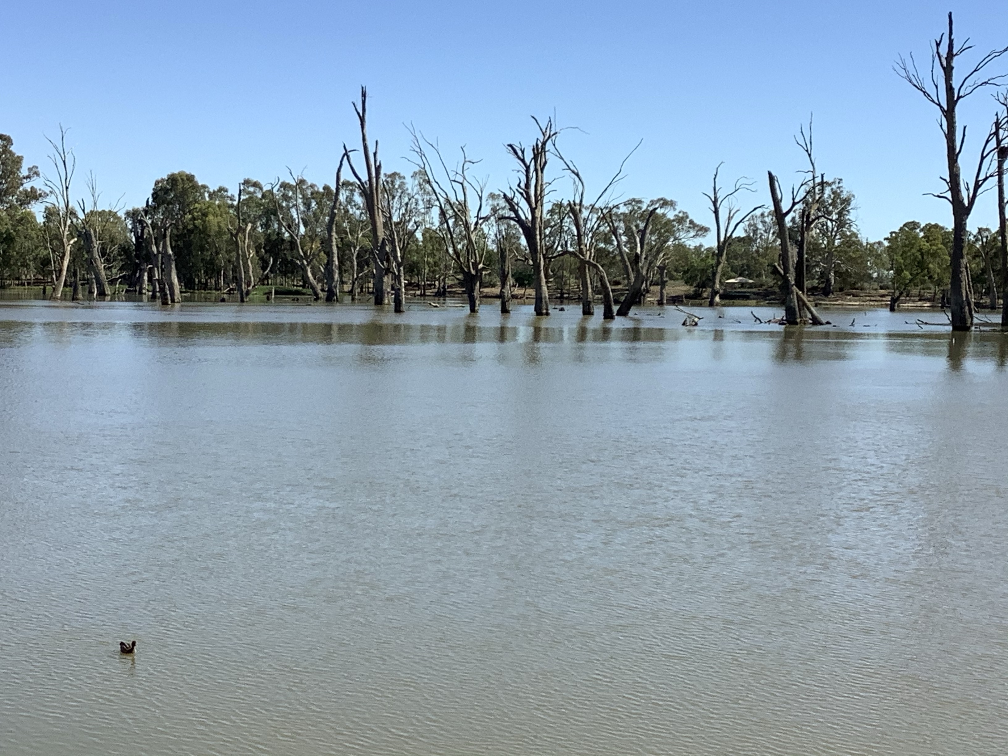
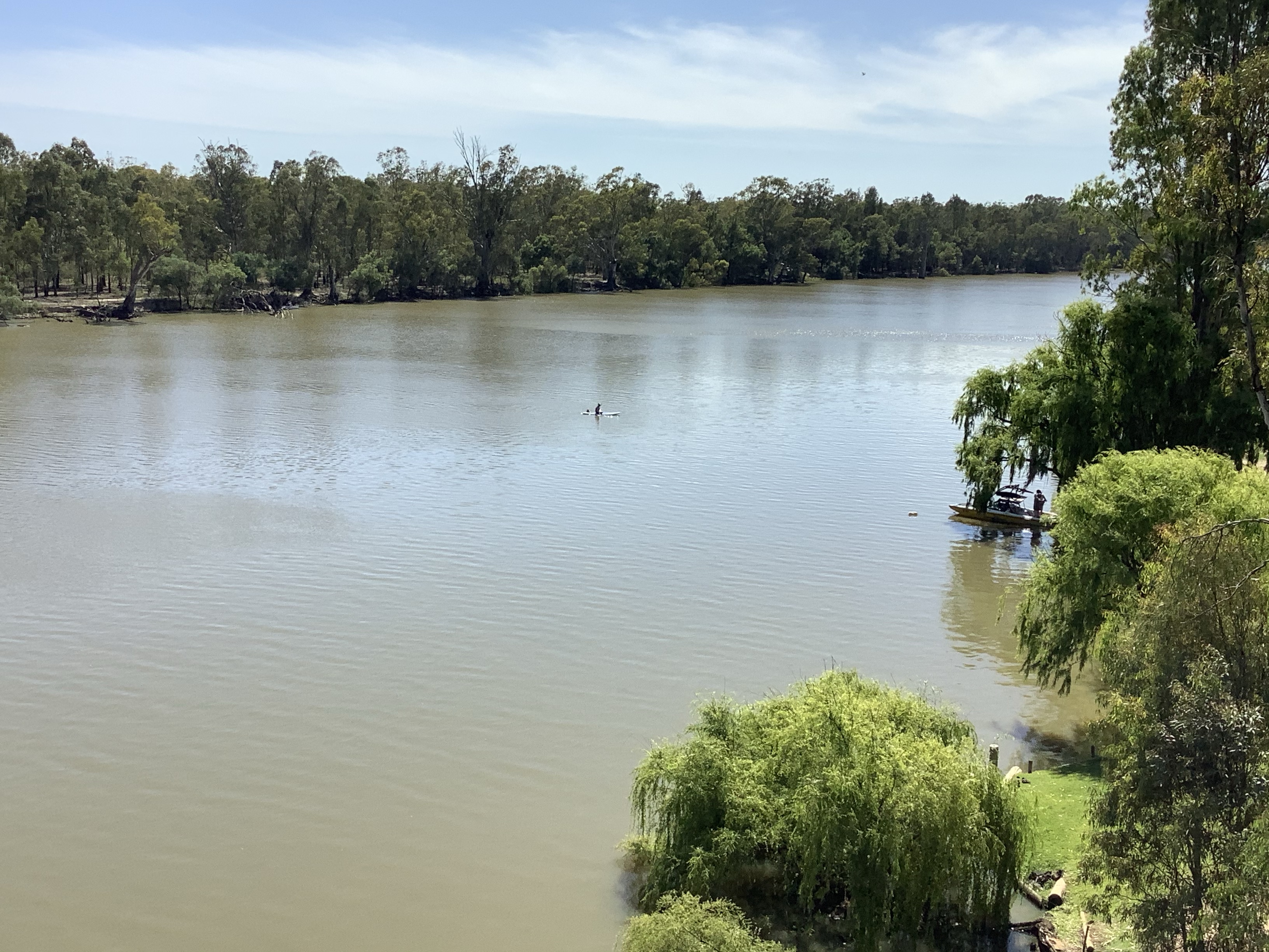
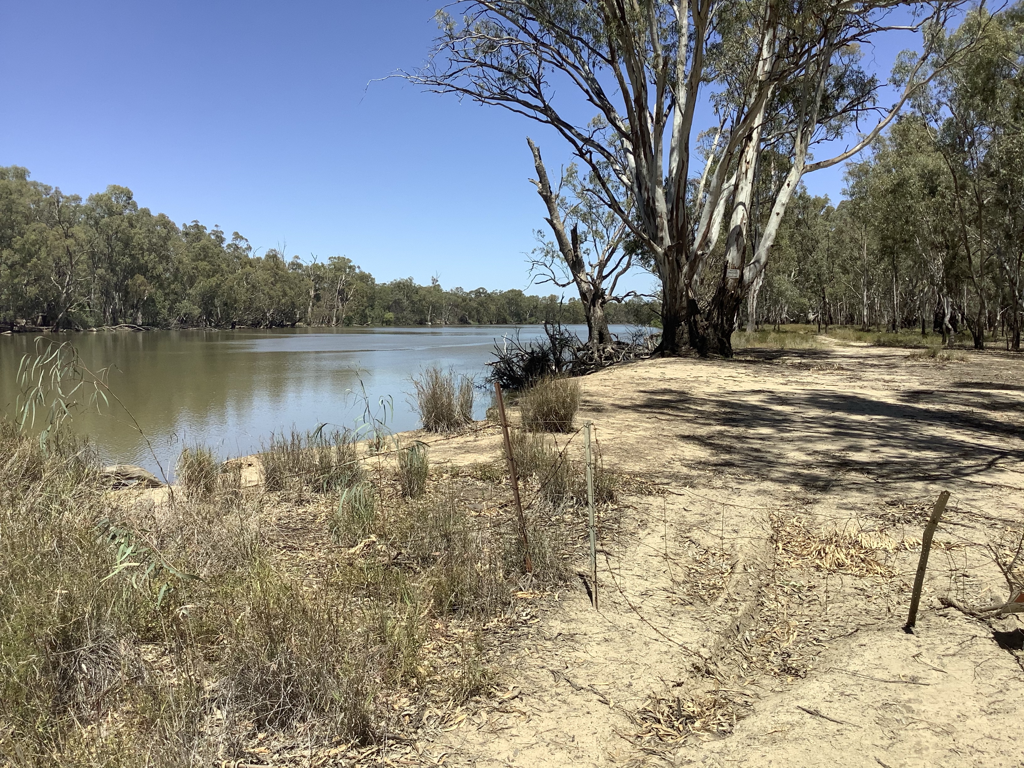
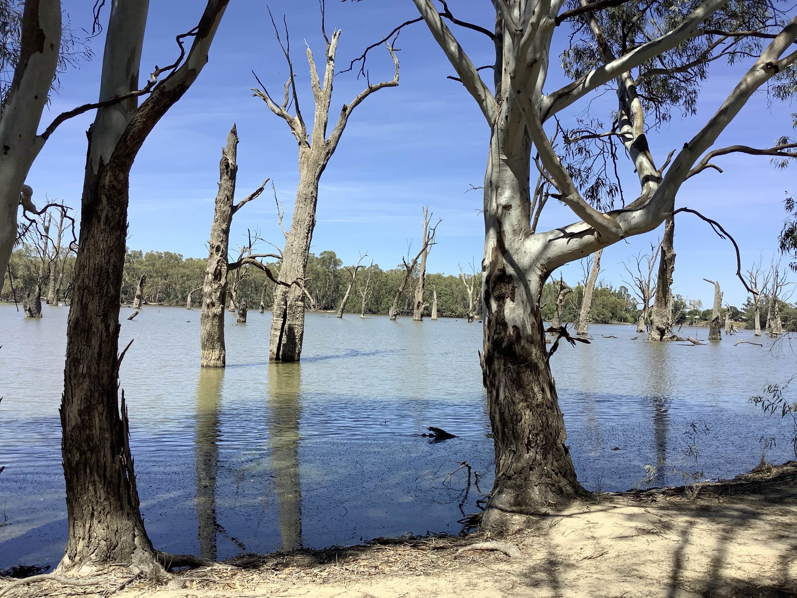
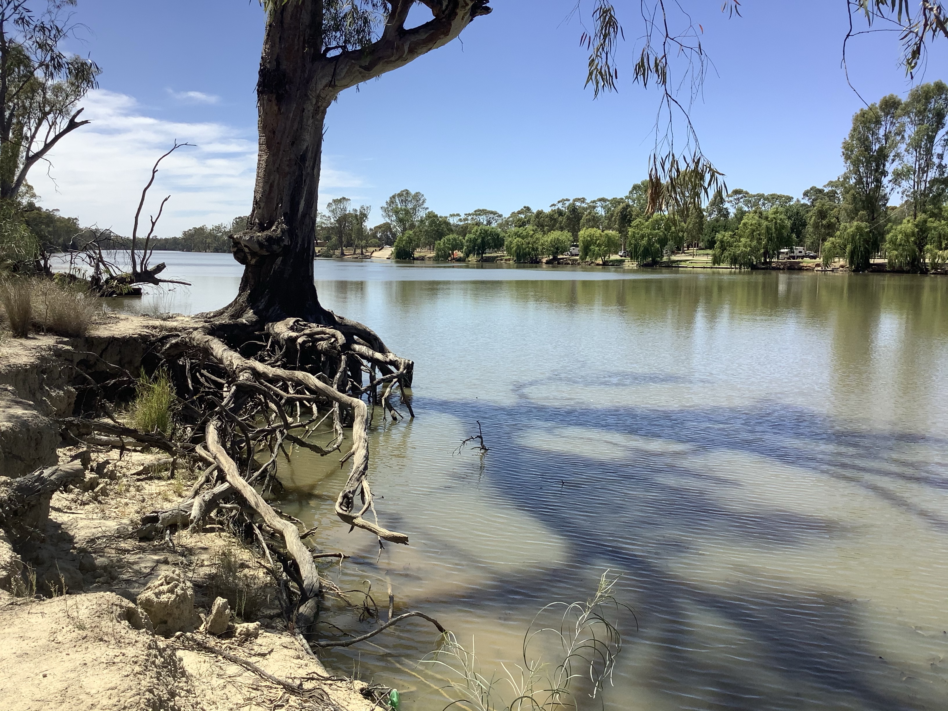
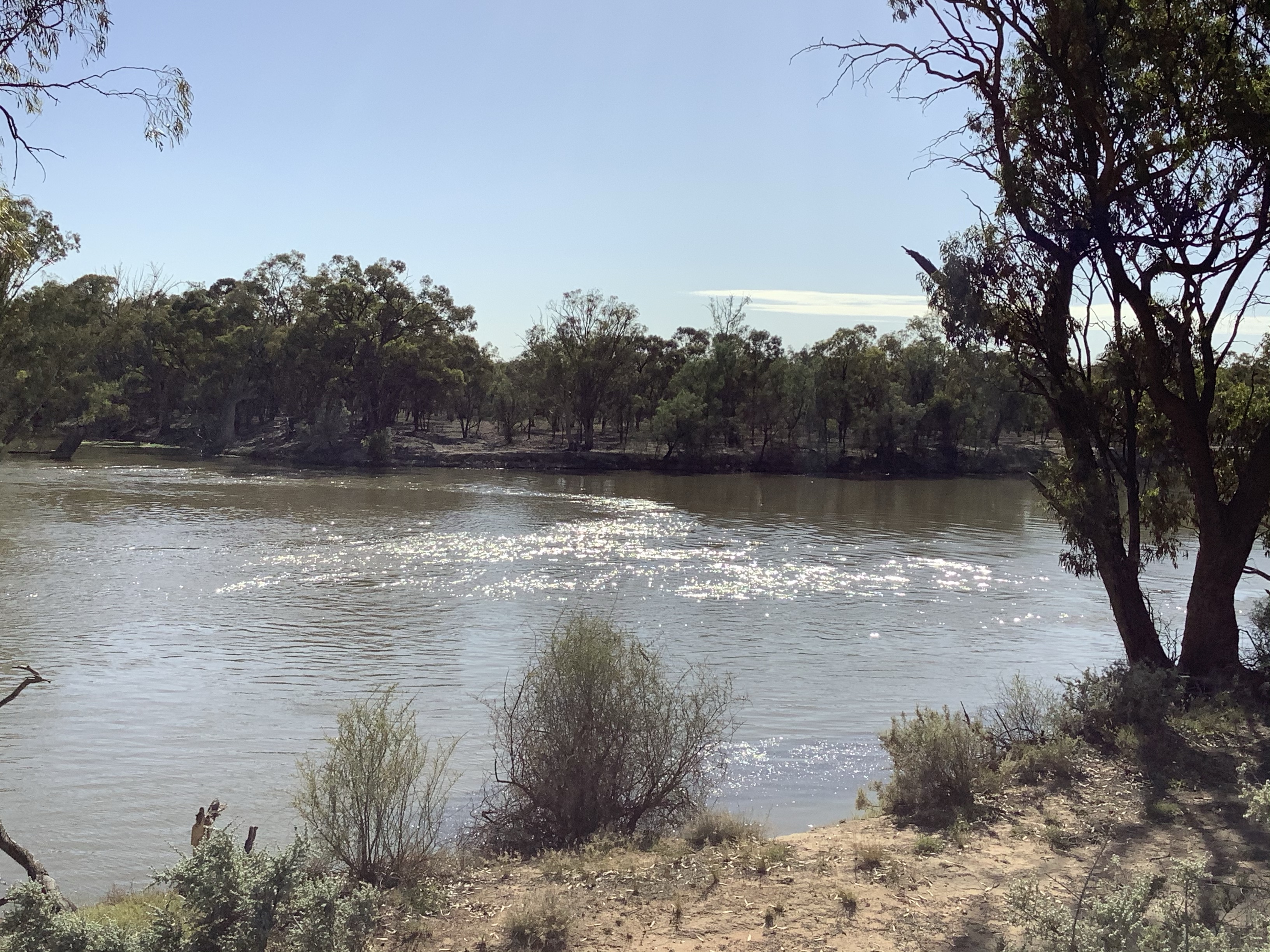
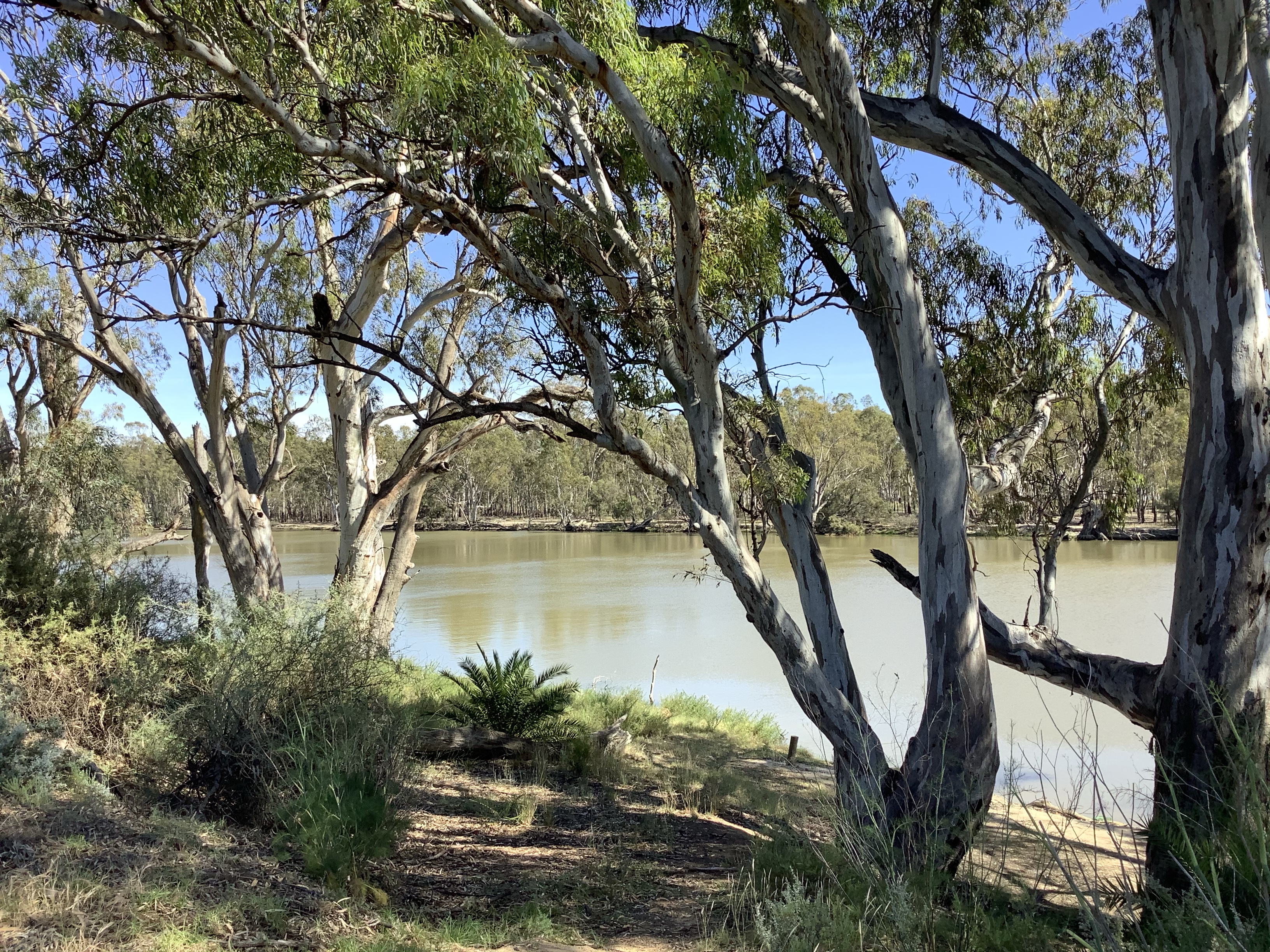
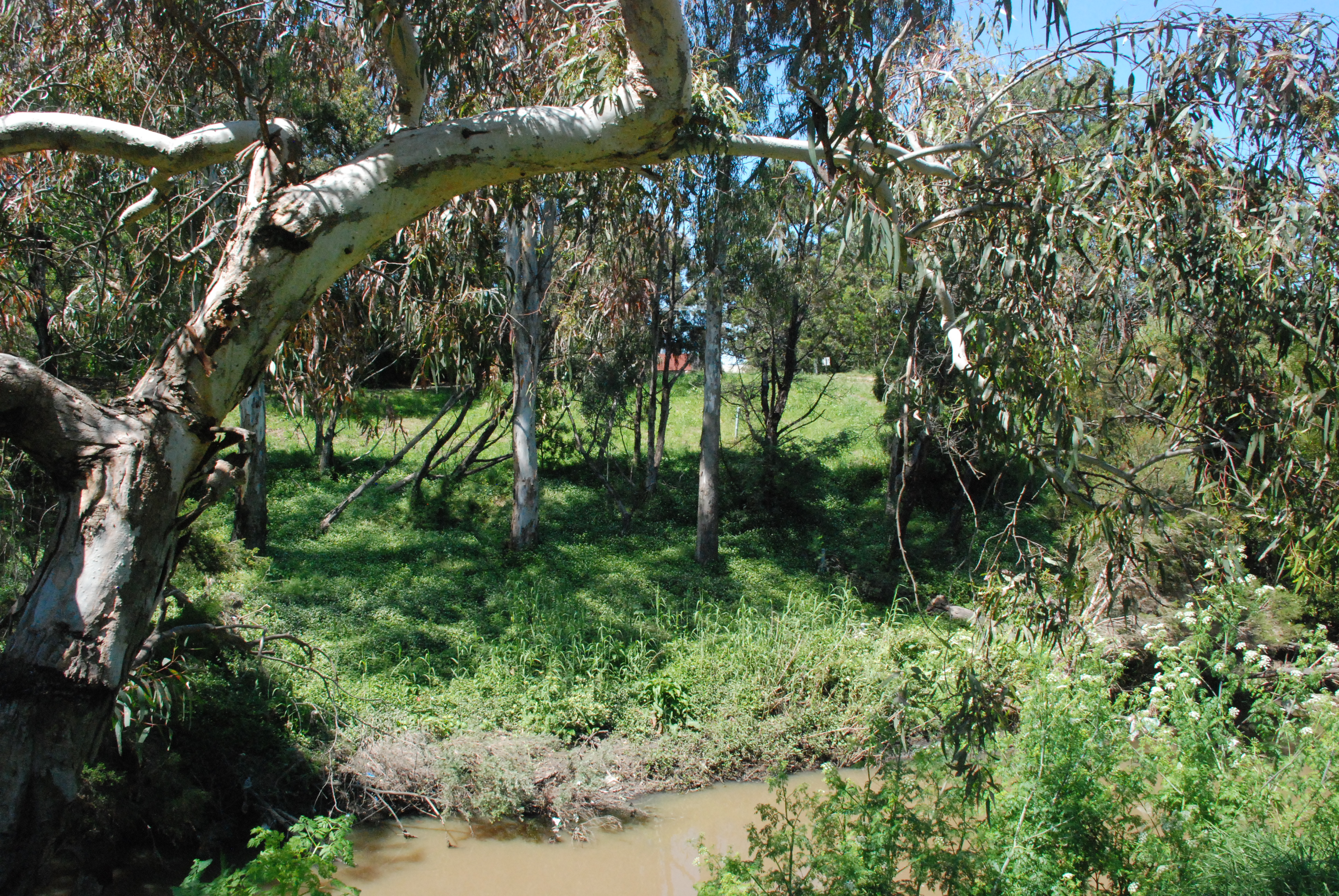
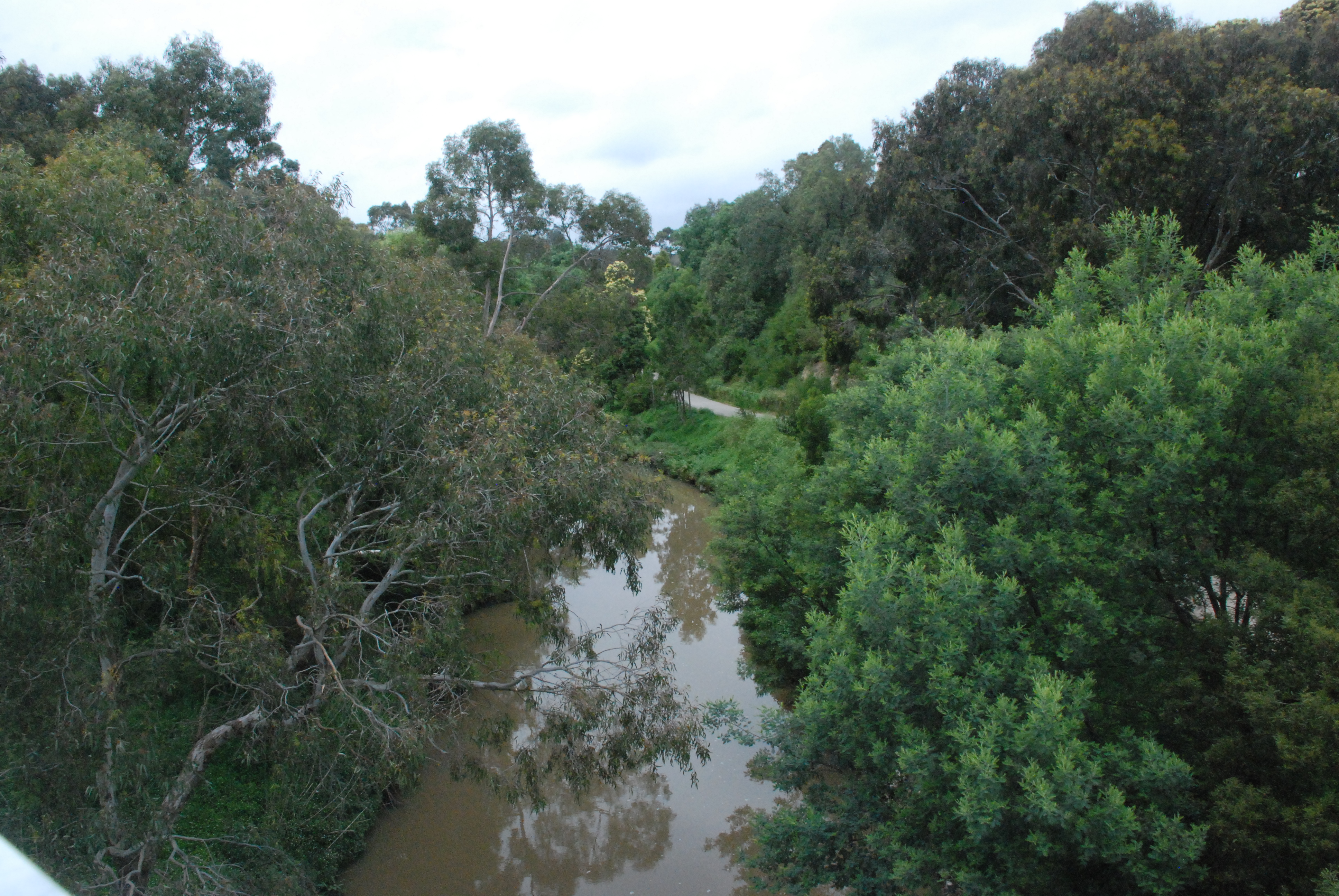
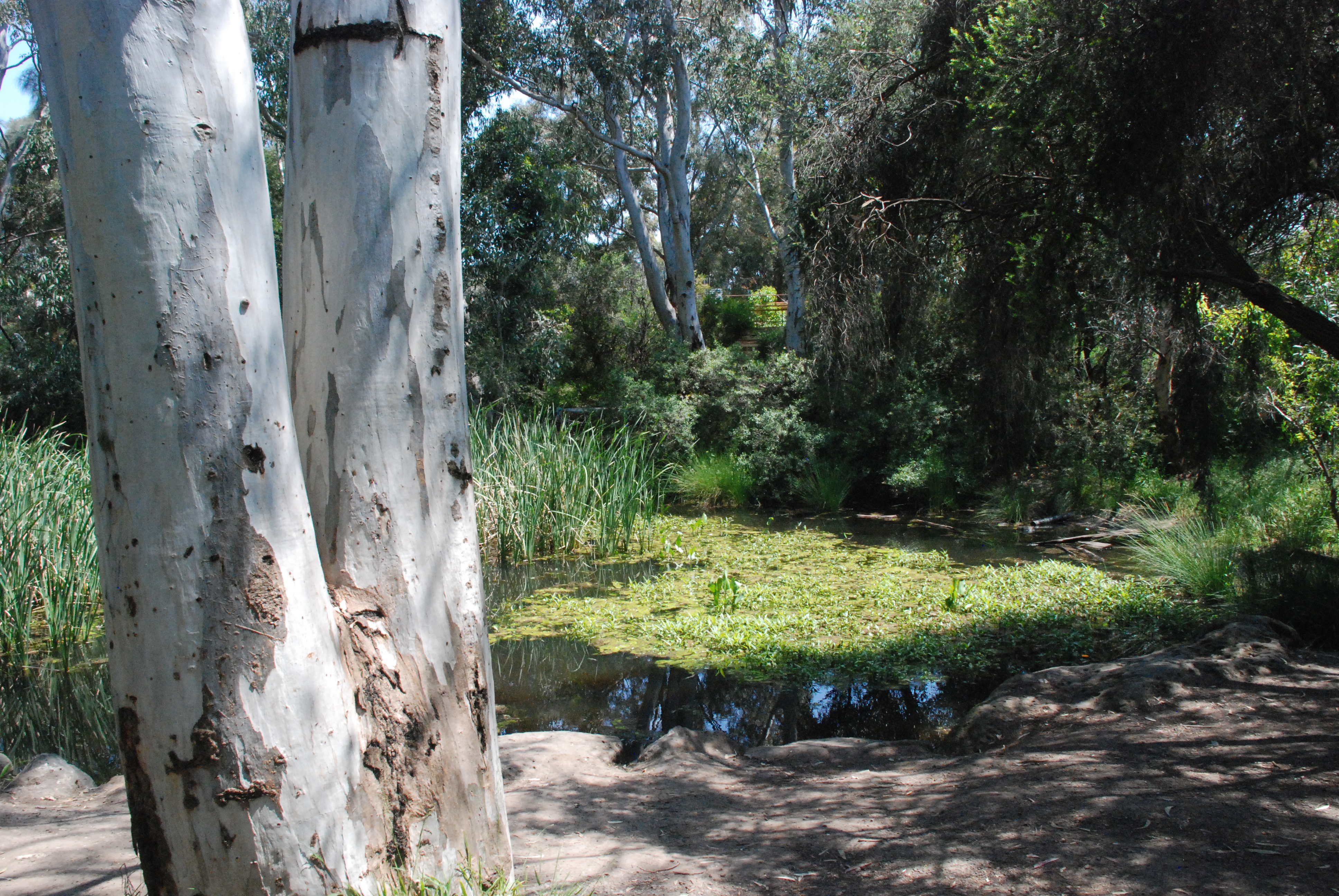
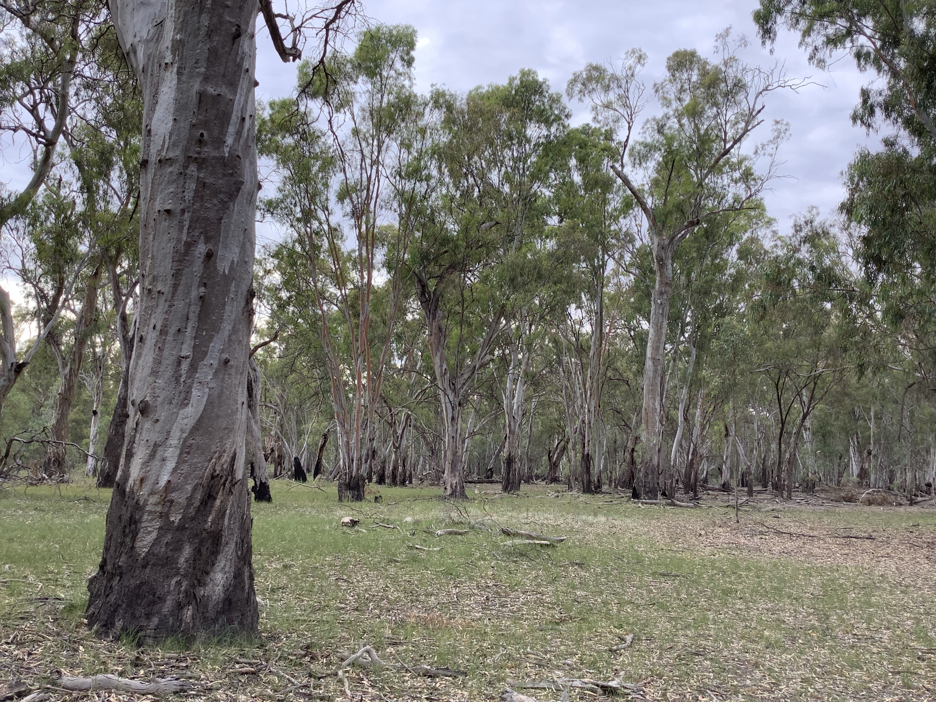
At the waters edge little river dwellers made small circular ripples in the cloud reflected water. The far side of the river, incredibly serene with crisp reflections of the bush.

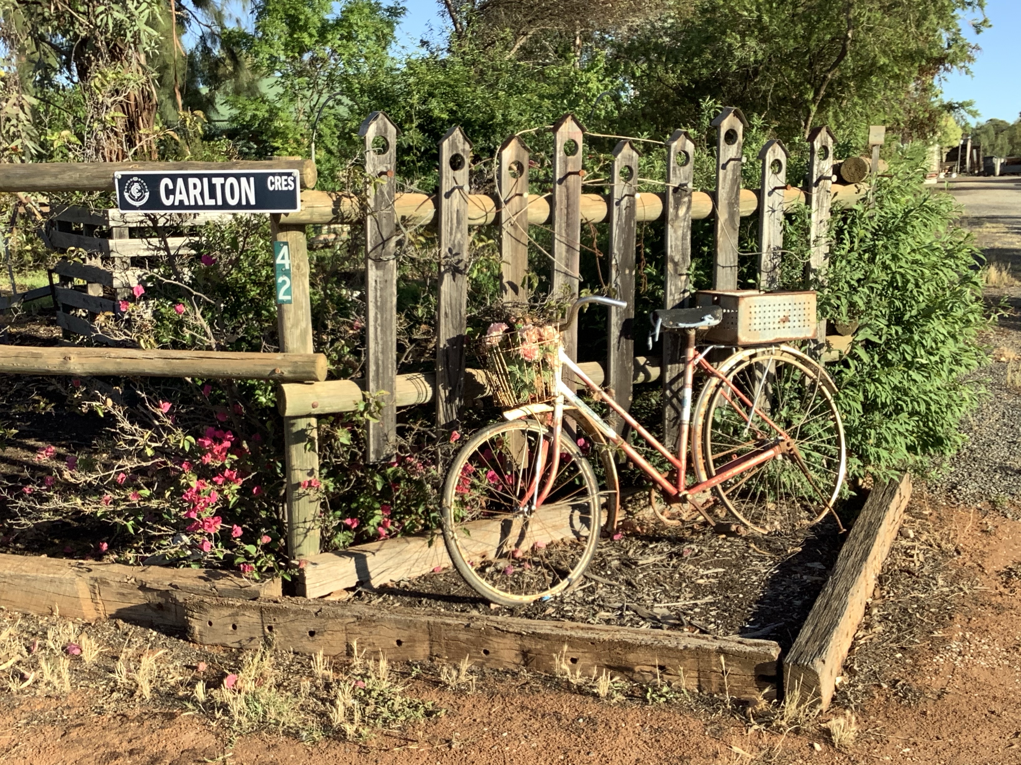
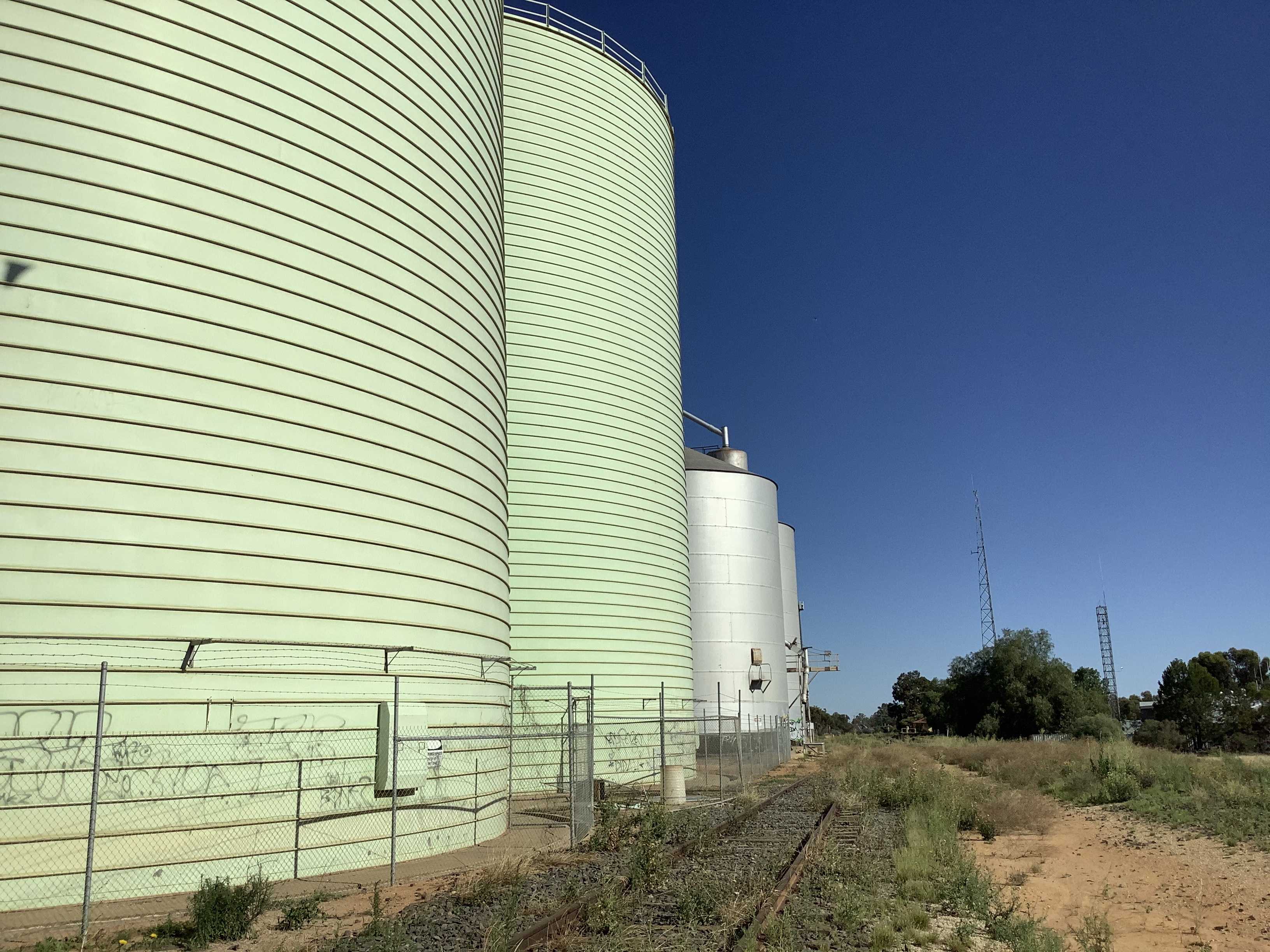
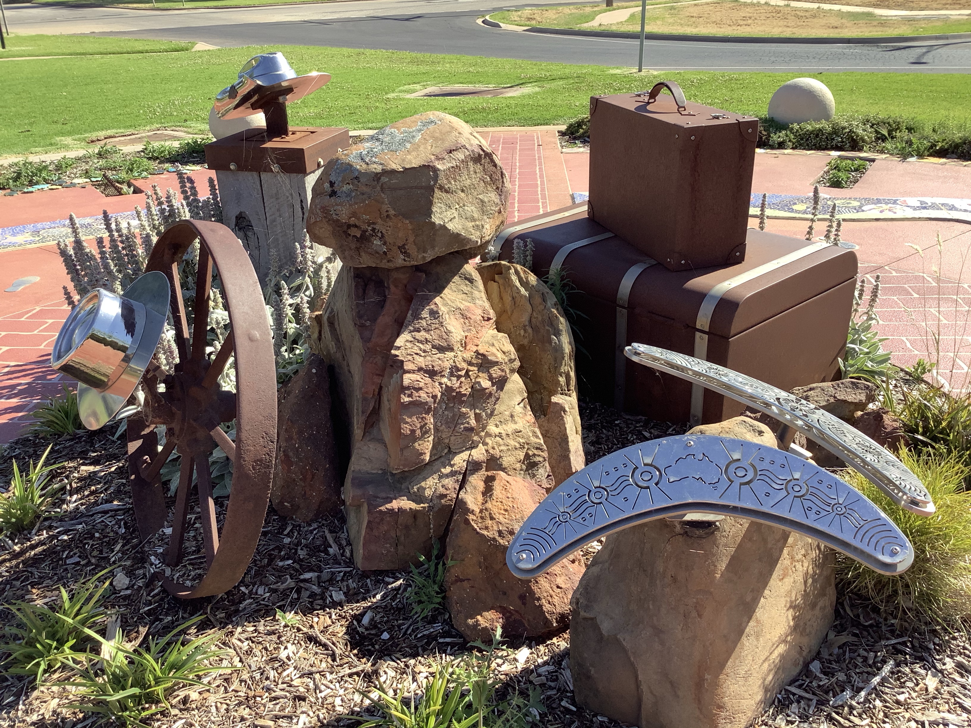
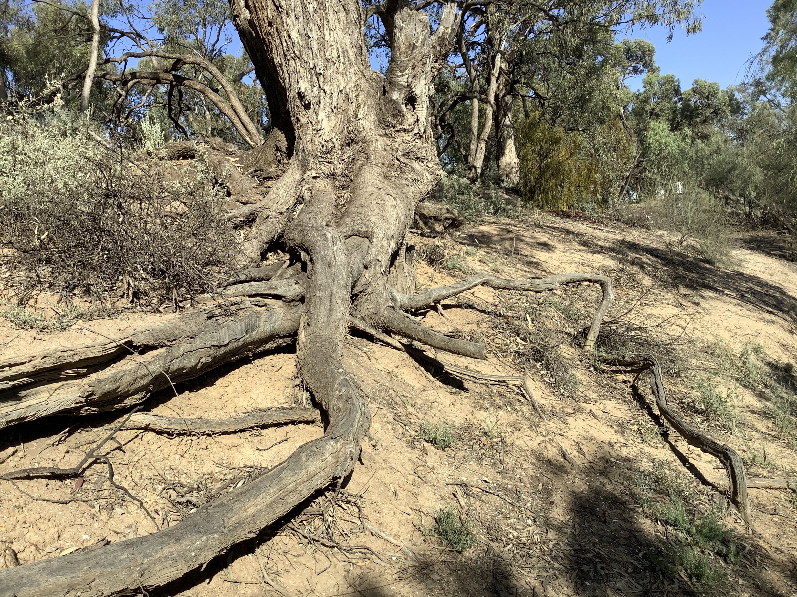
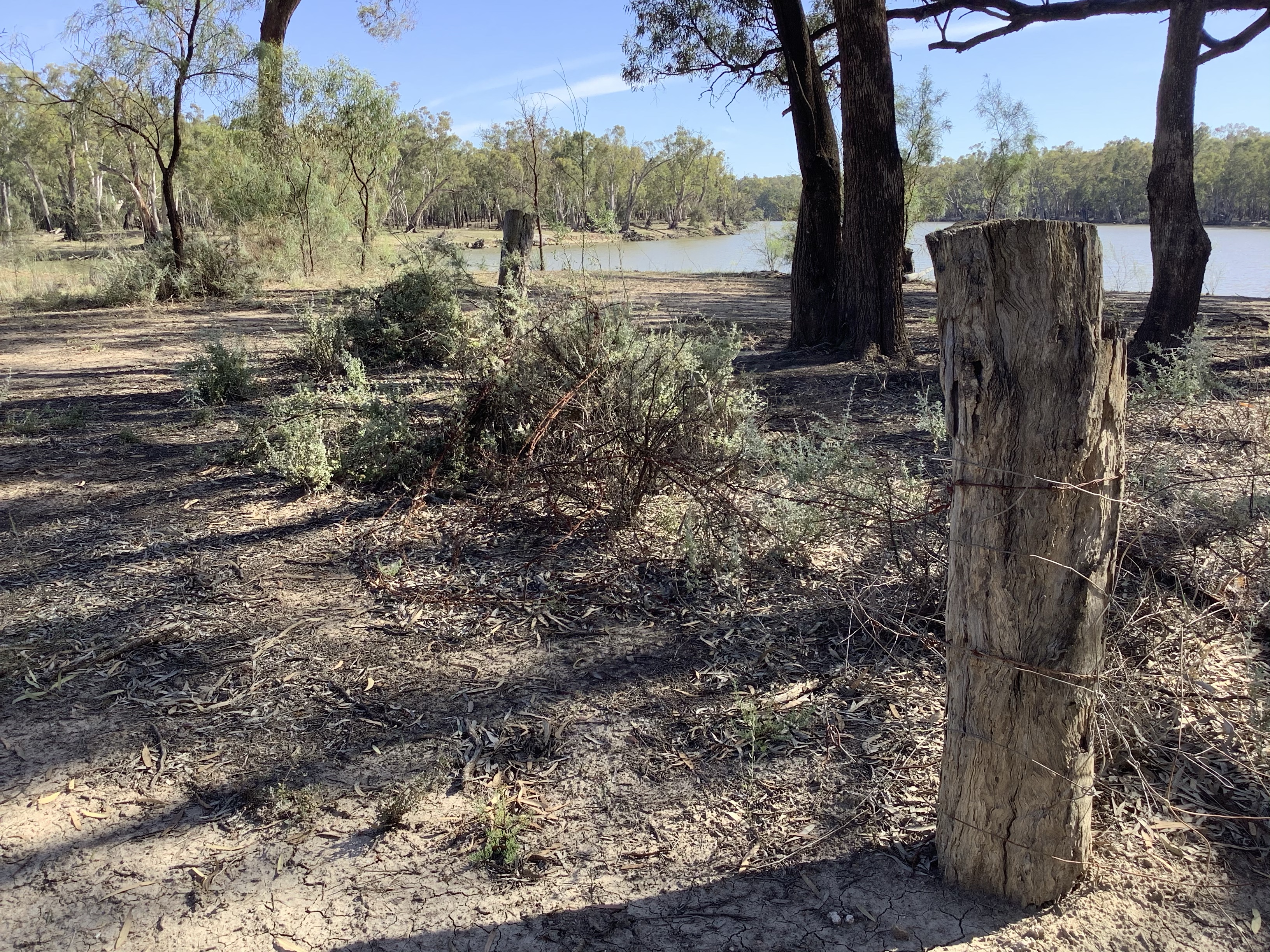
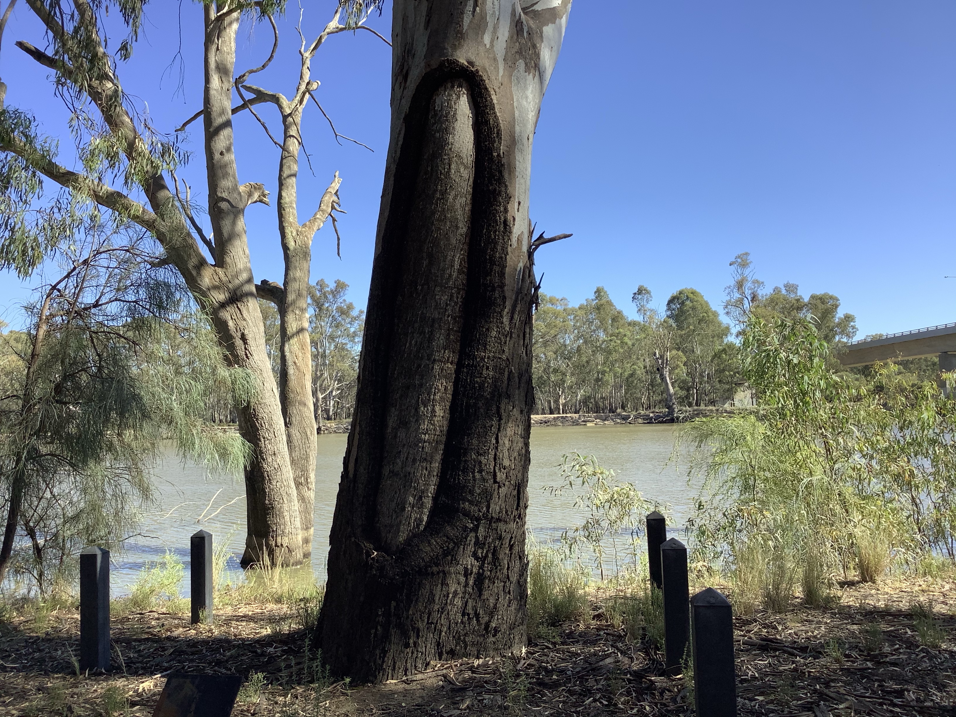
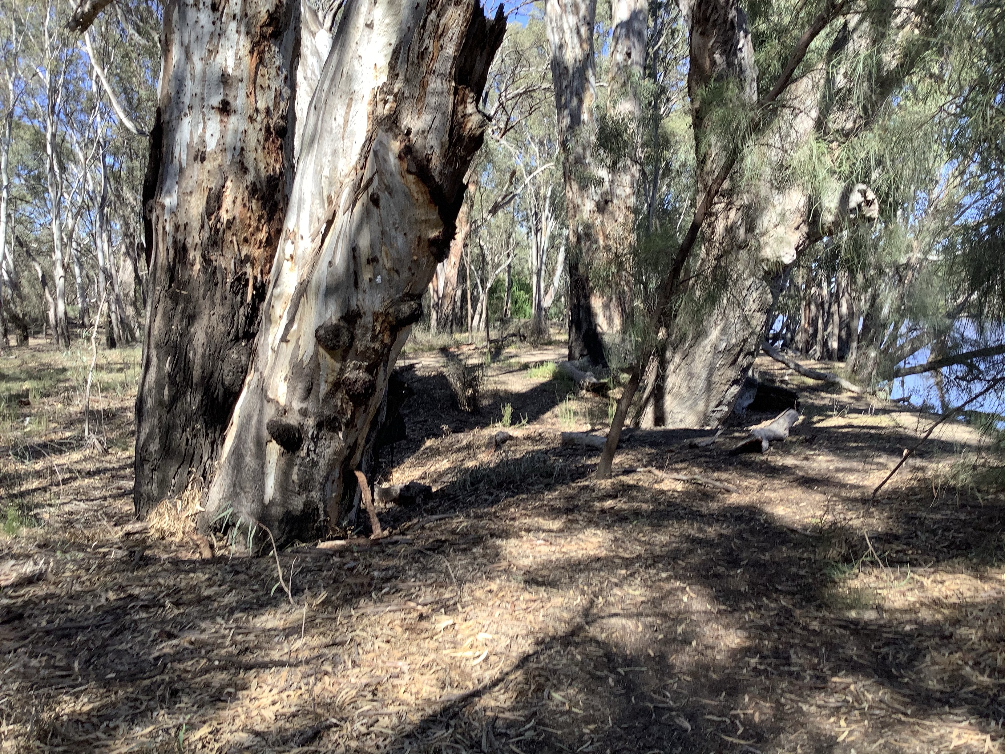
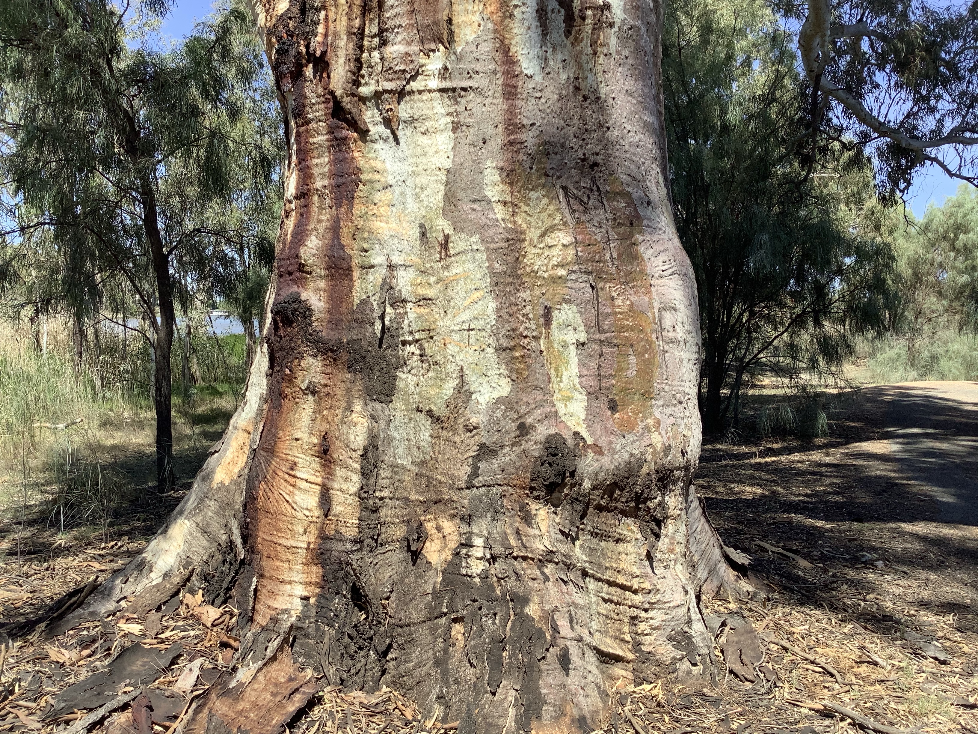
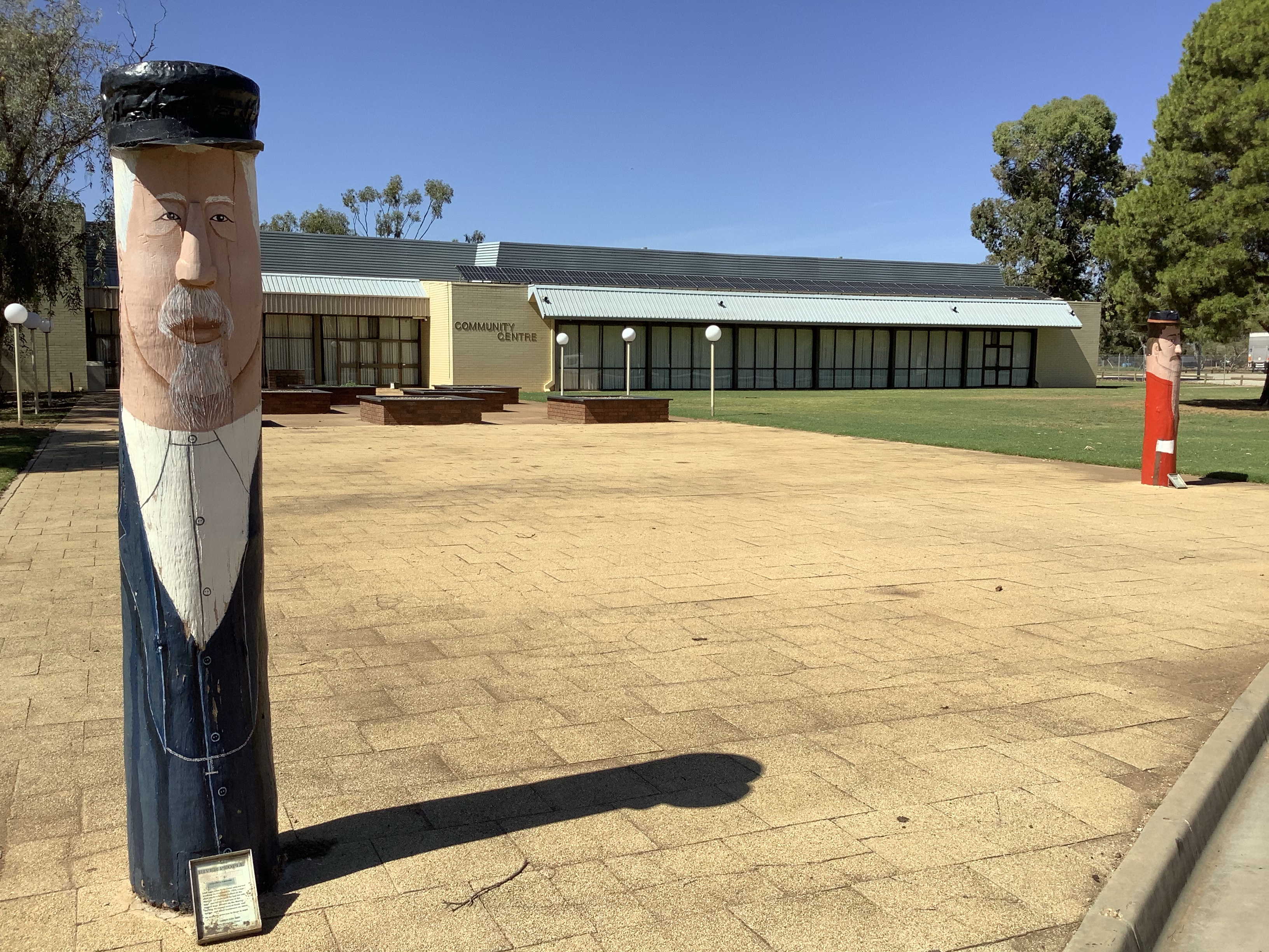
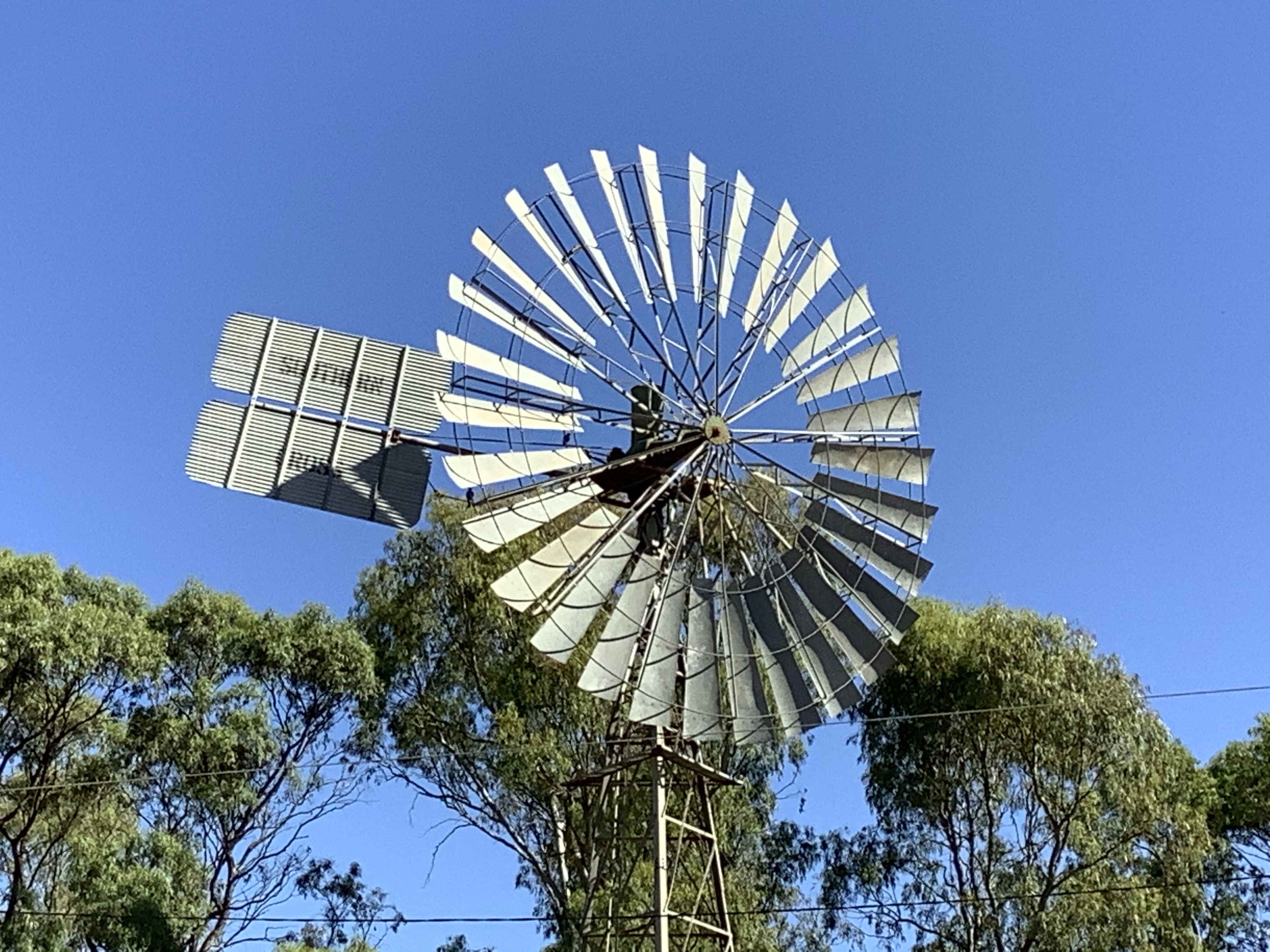
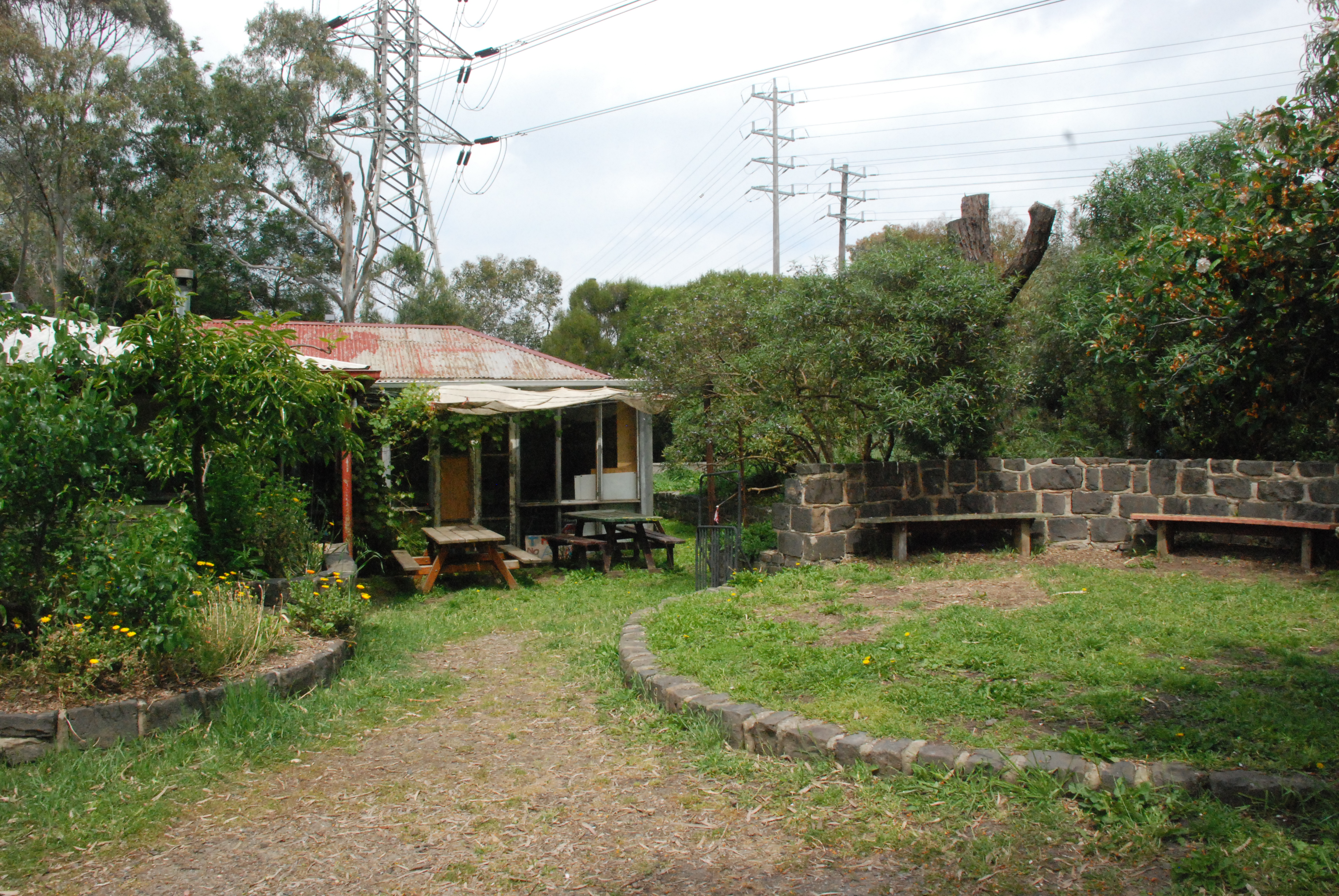
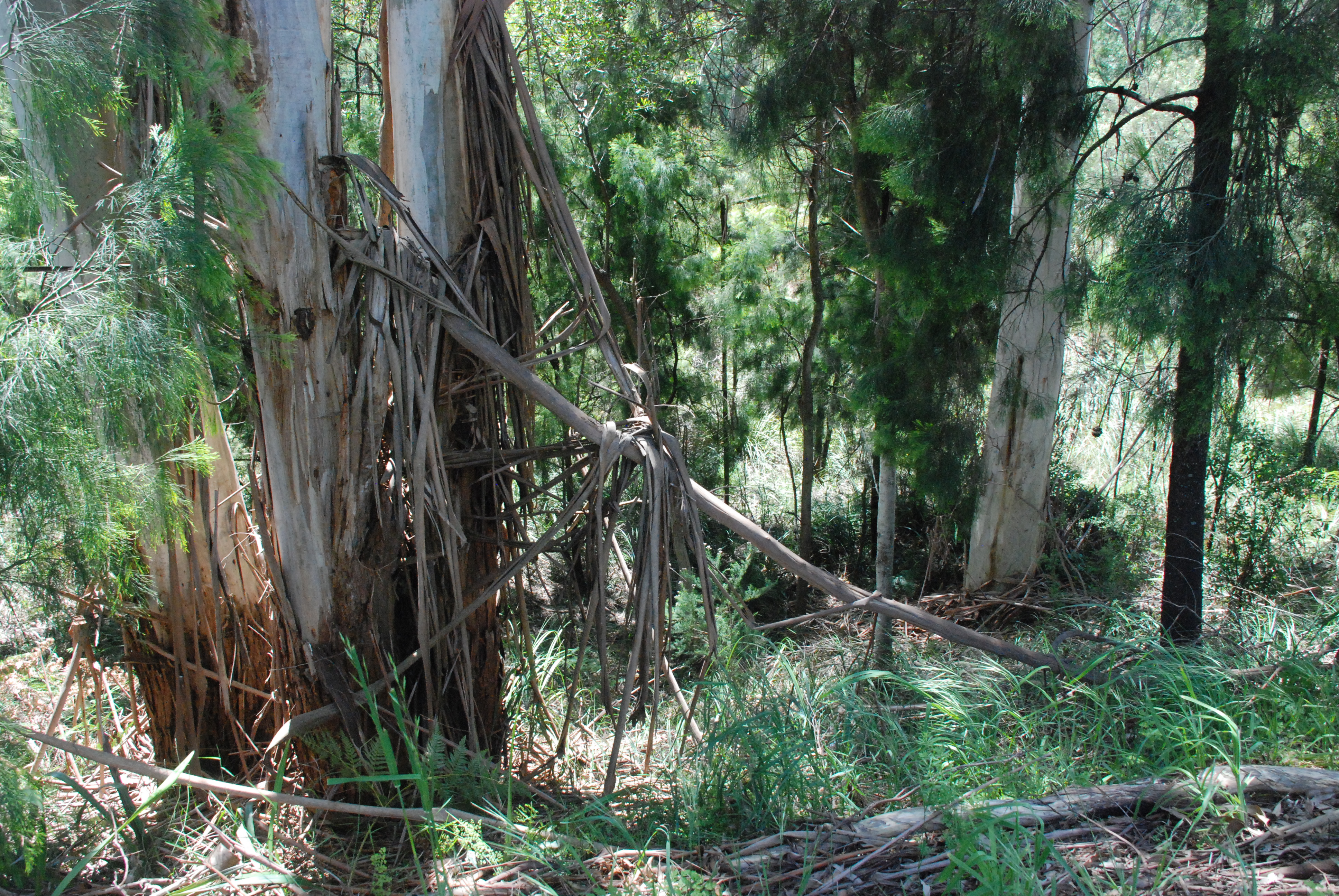
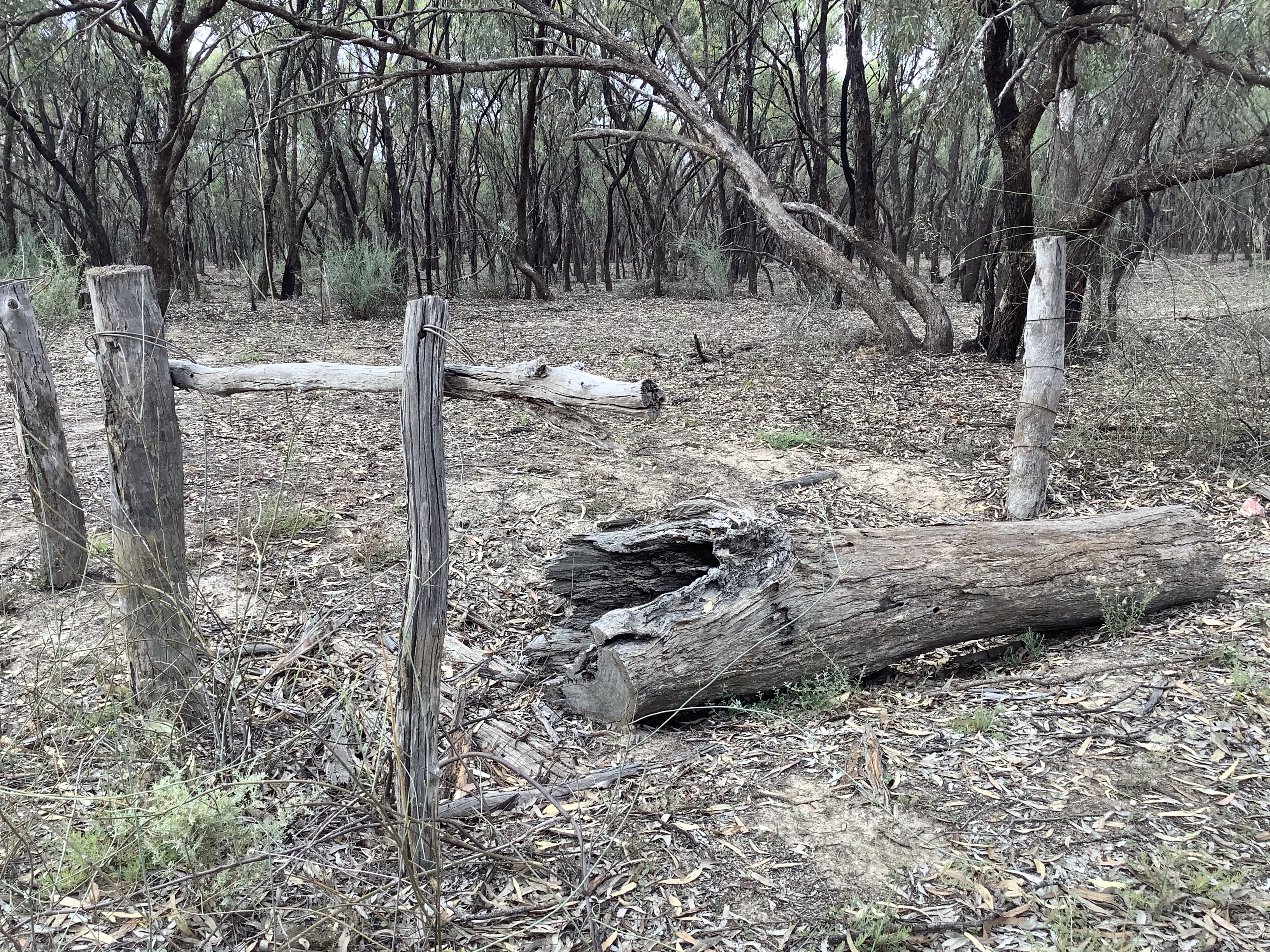
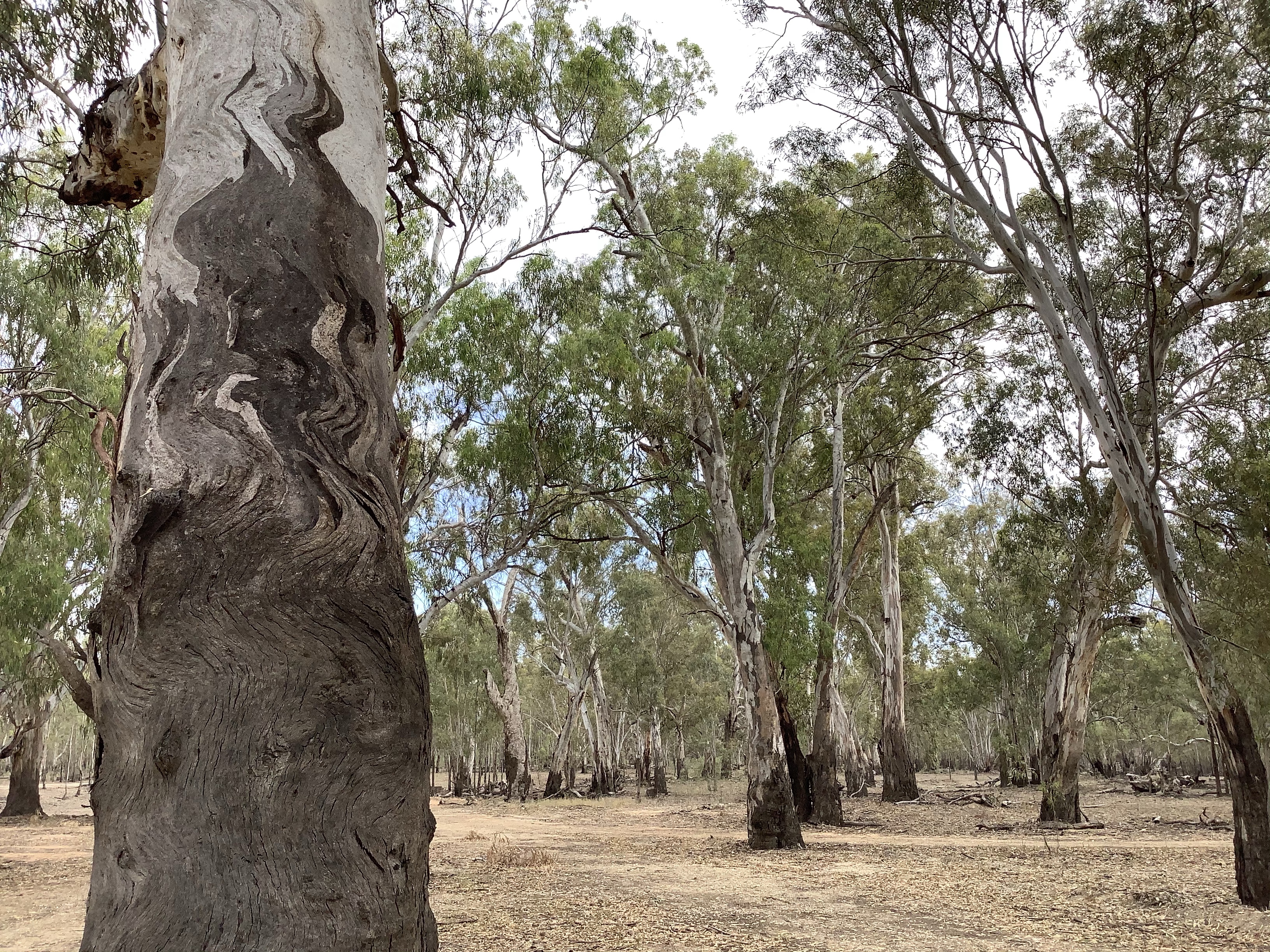
Remnants of old inhabitation

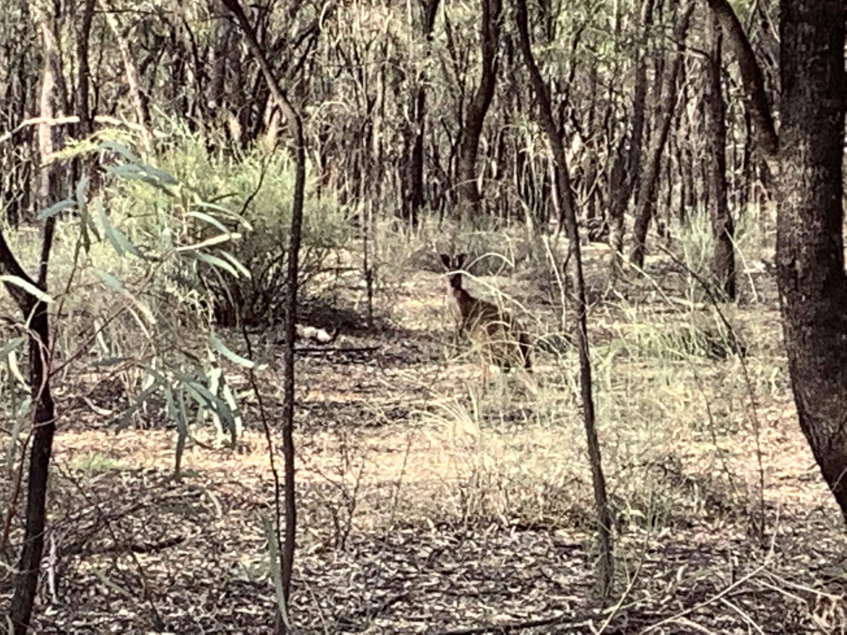
And today I met a curious kangaroo. Startled as I approached the Joey bounded off into the bush. Mum jumped several metres into camouflage and checked me out. We stood for many minutes this way. Joey came back and stood momentarily beside mum before bounding away again. Twenty photos later and she still remained. In the end she outstared me and I moved on.

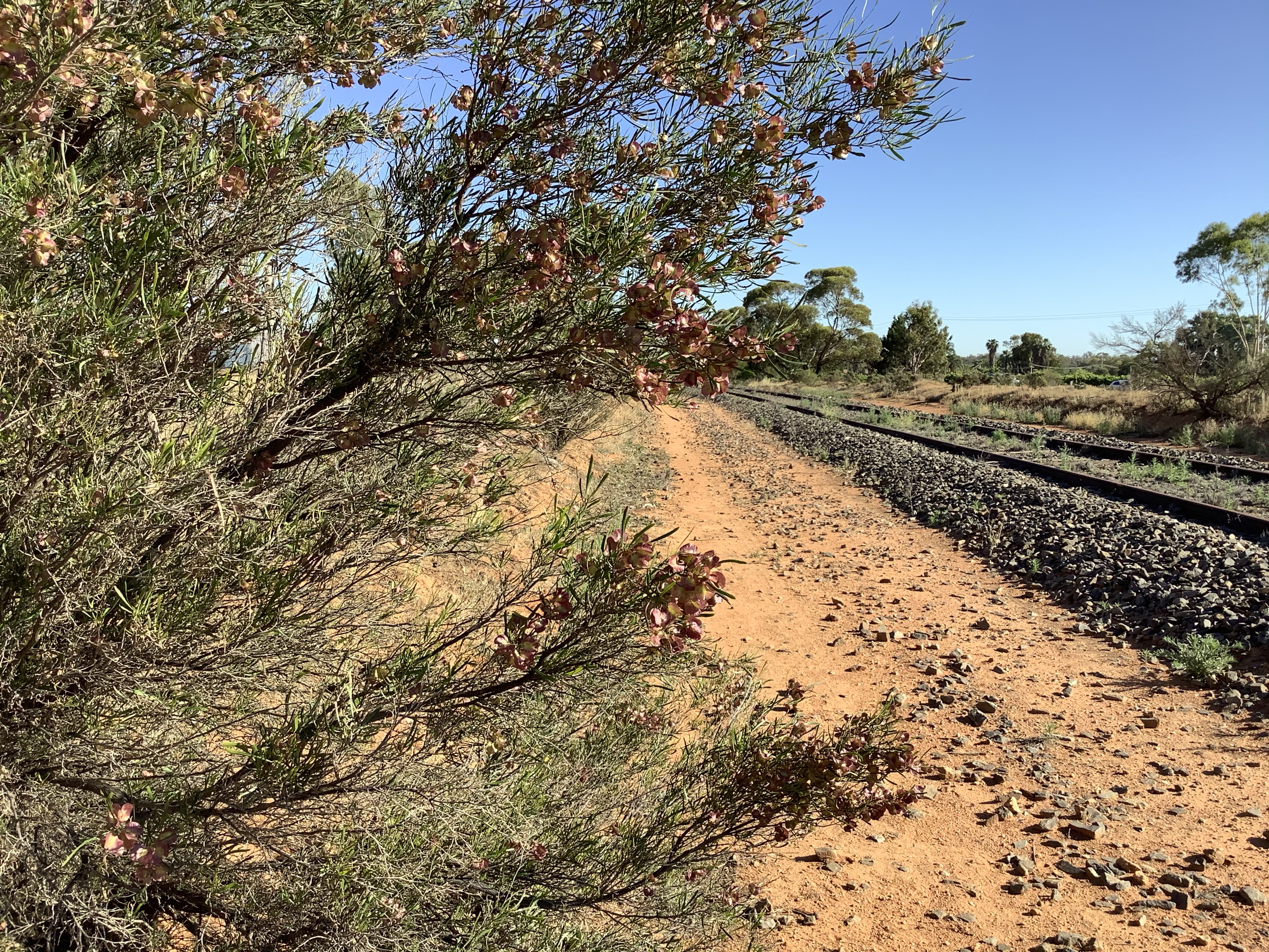
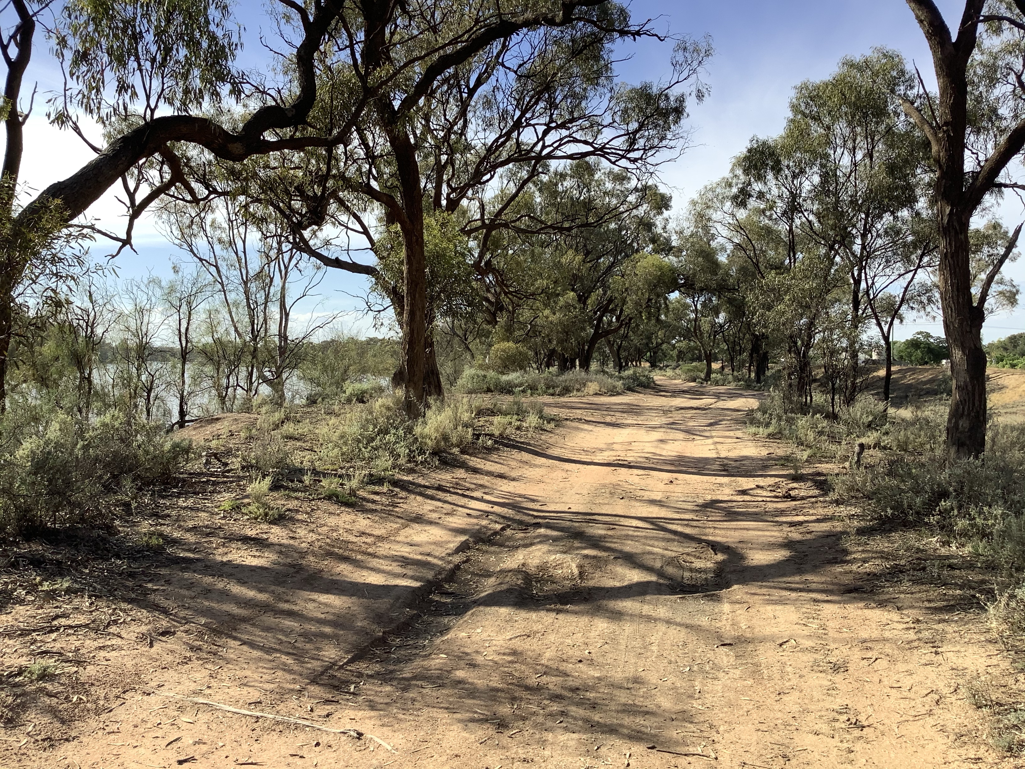
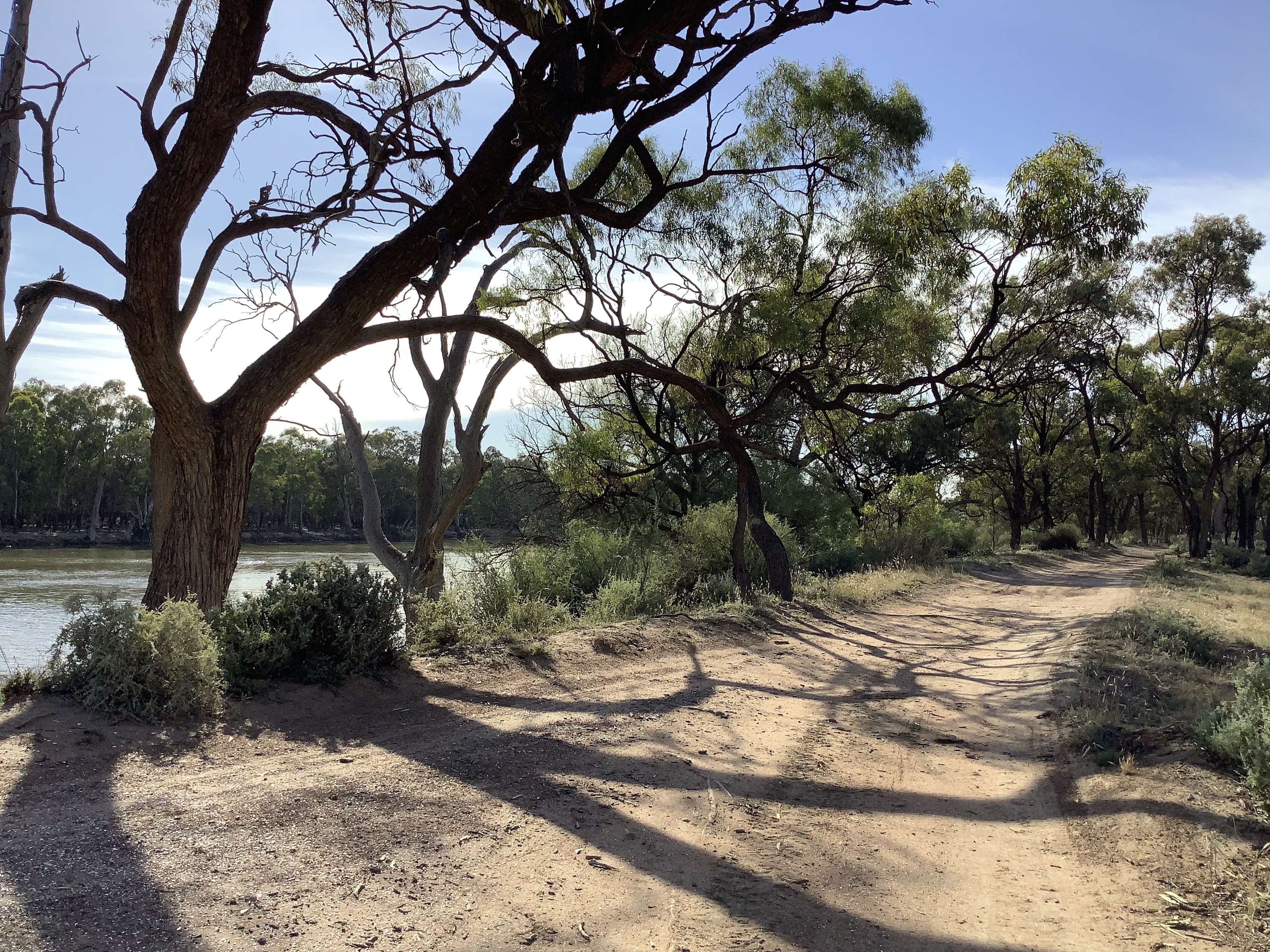
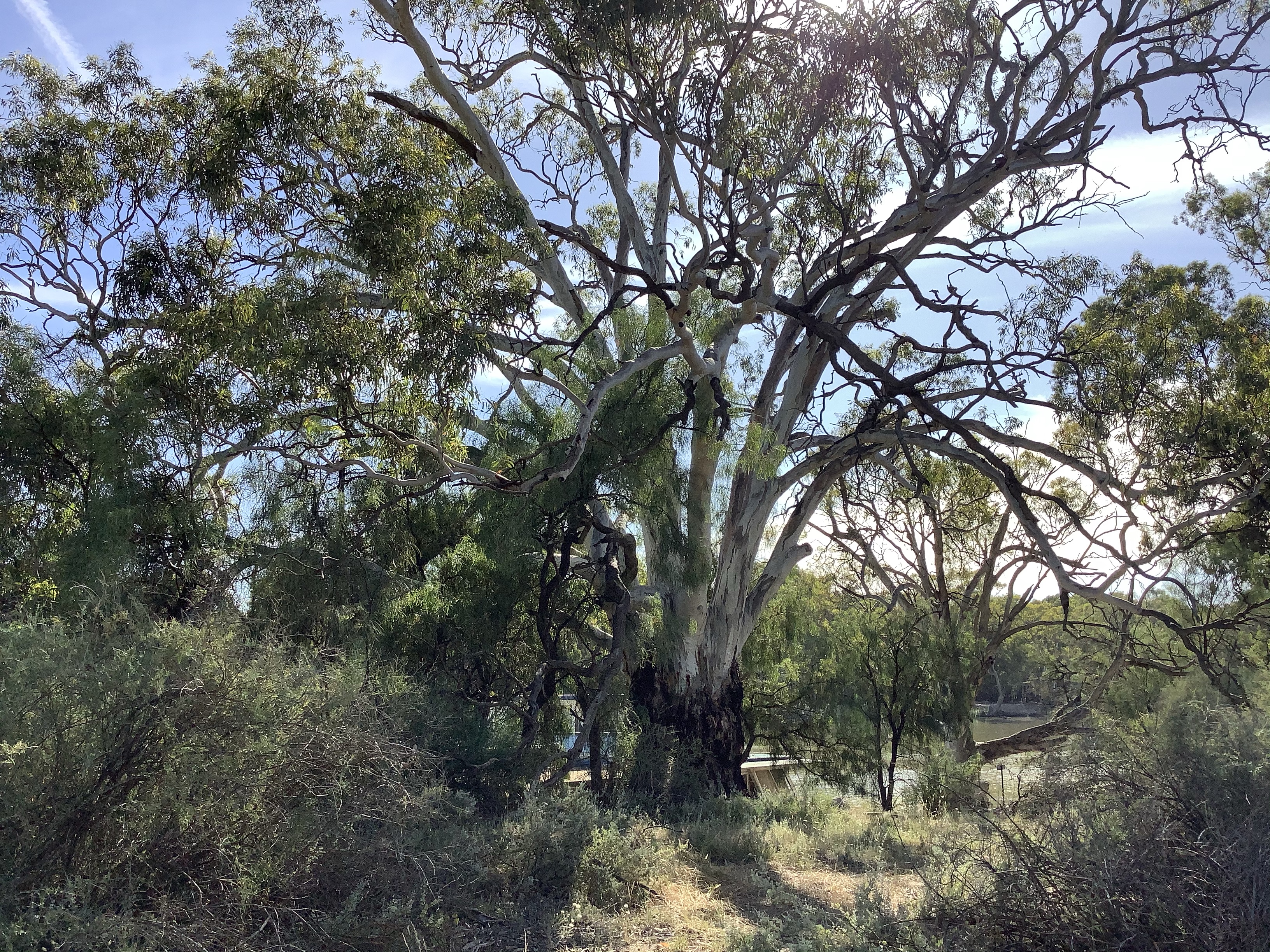
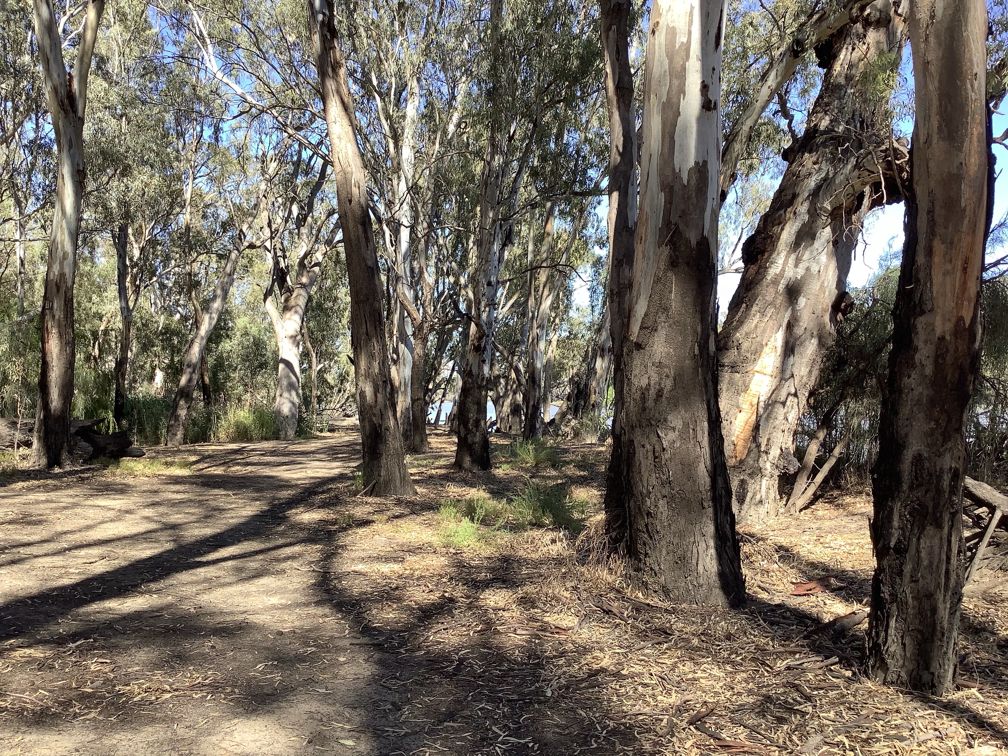
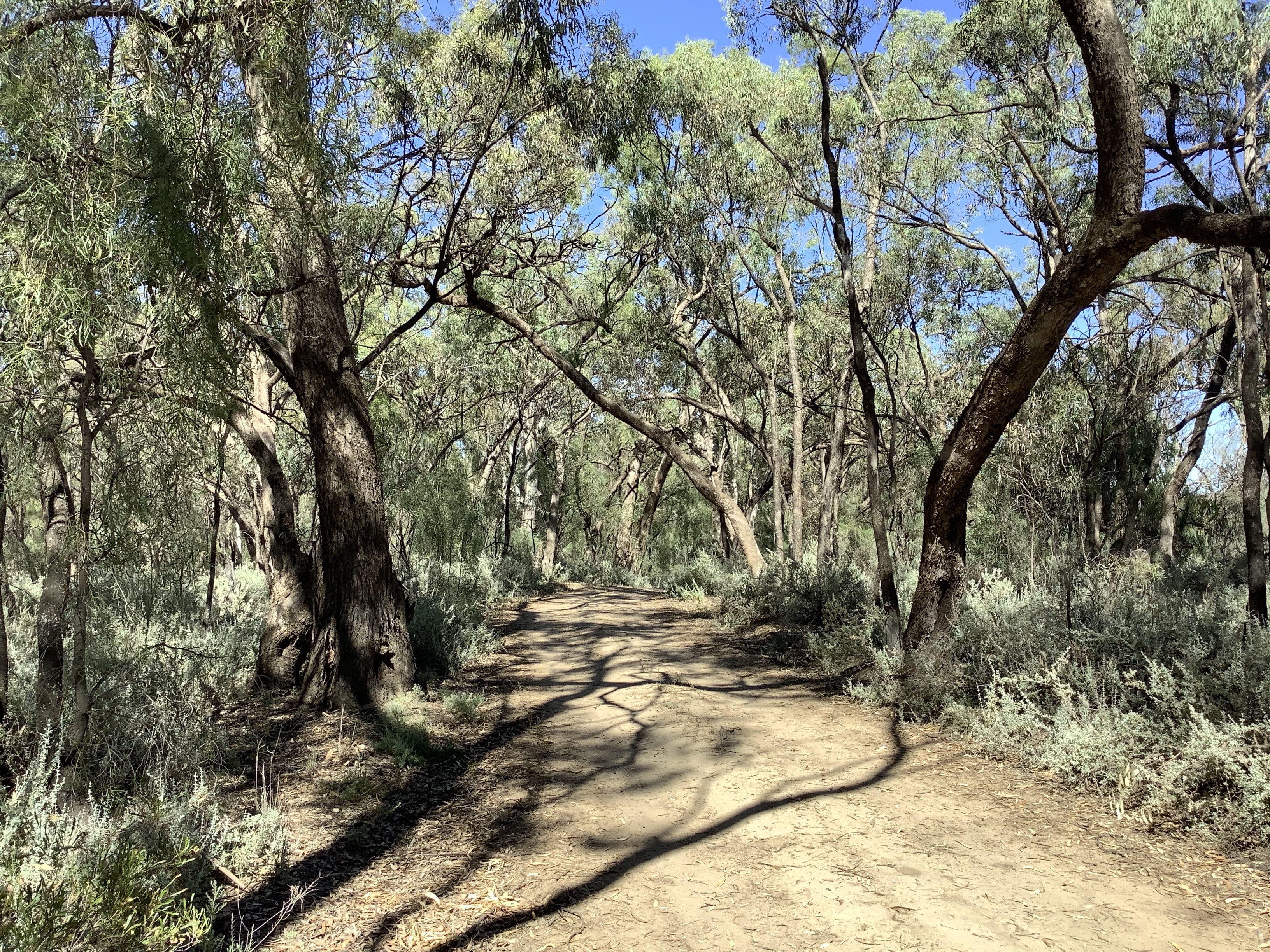
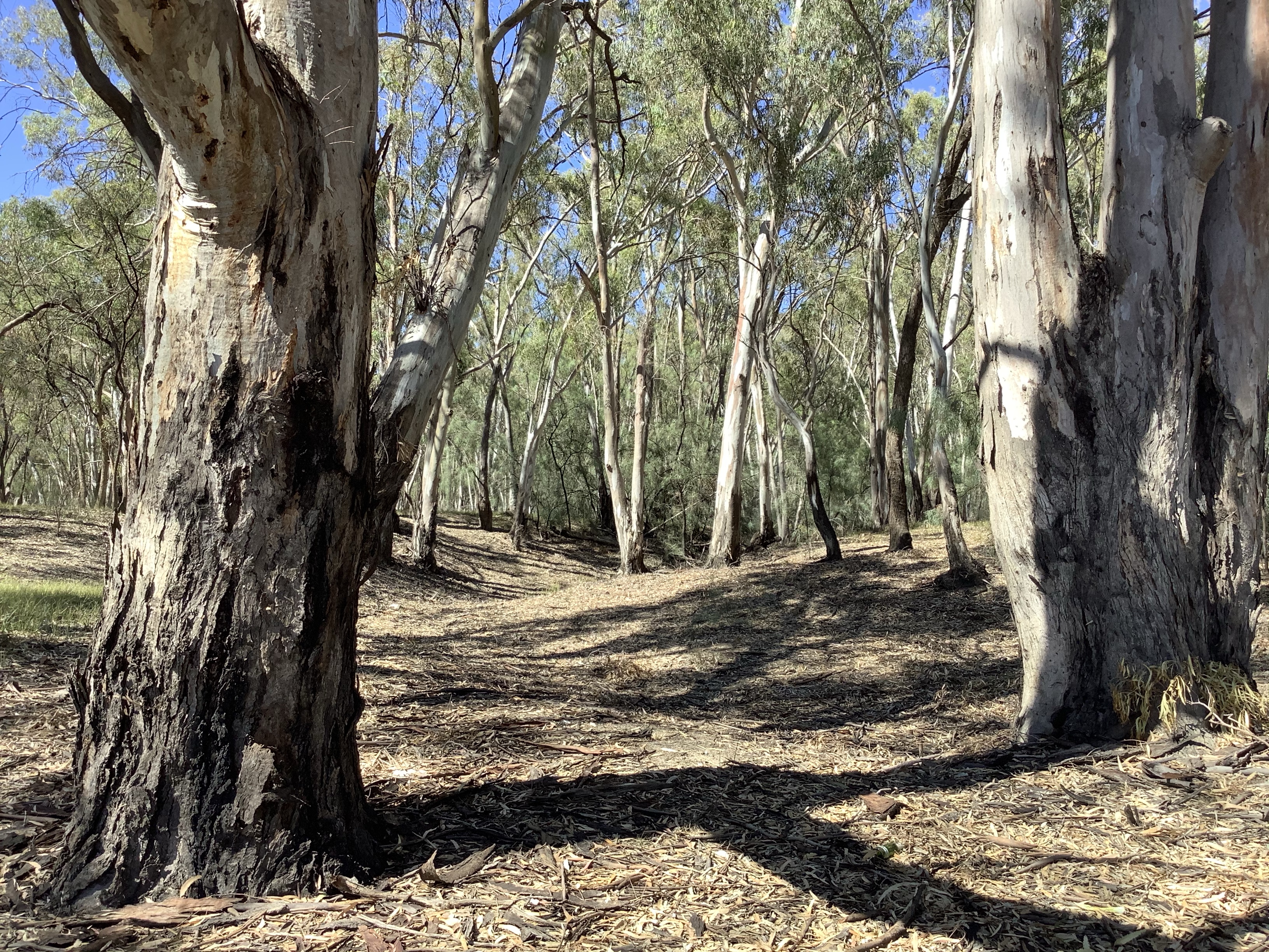
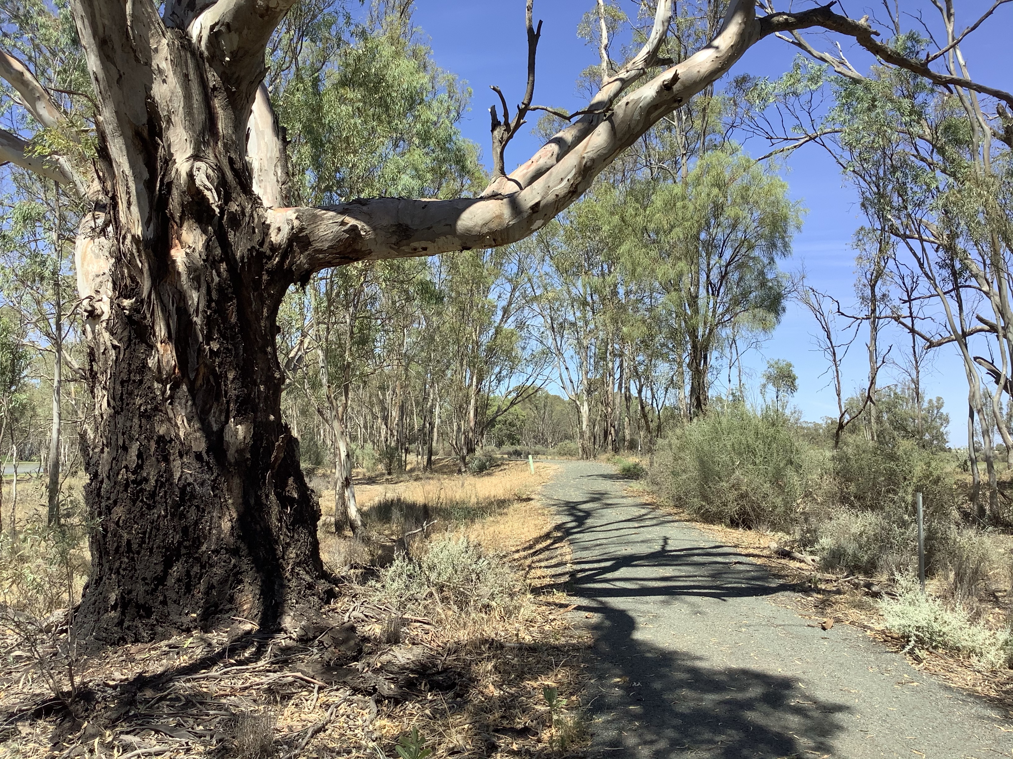
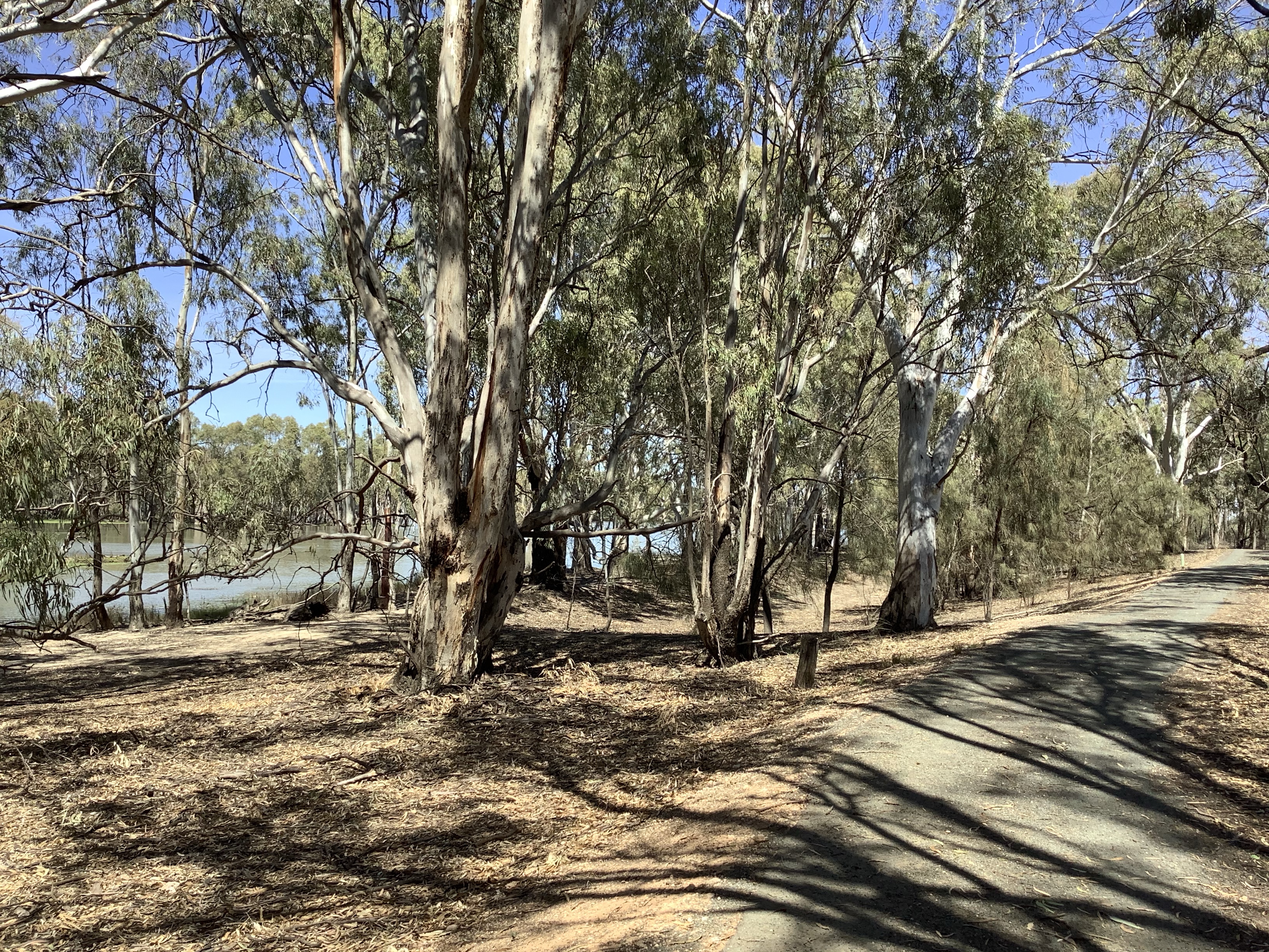
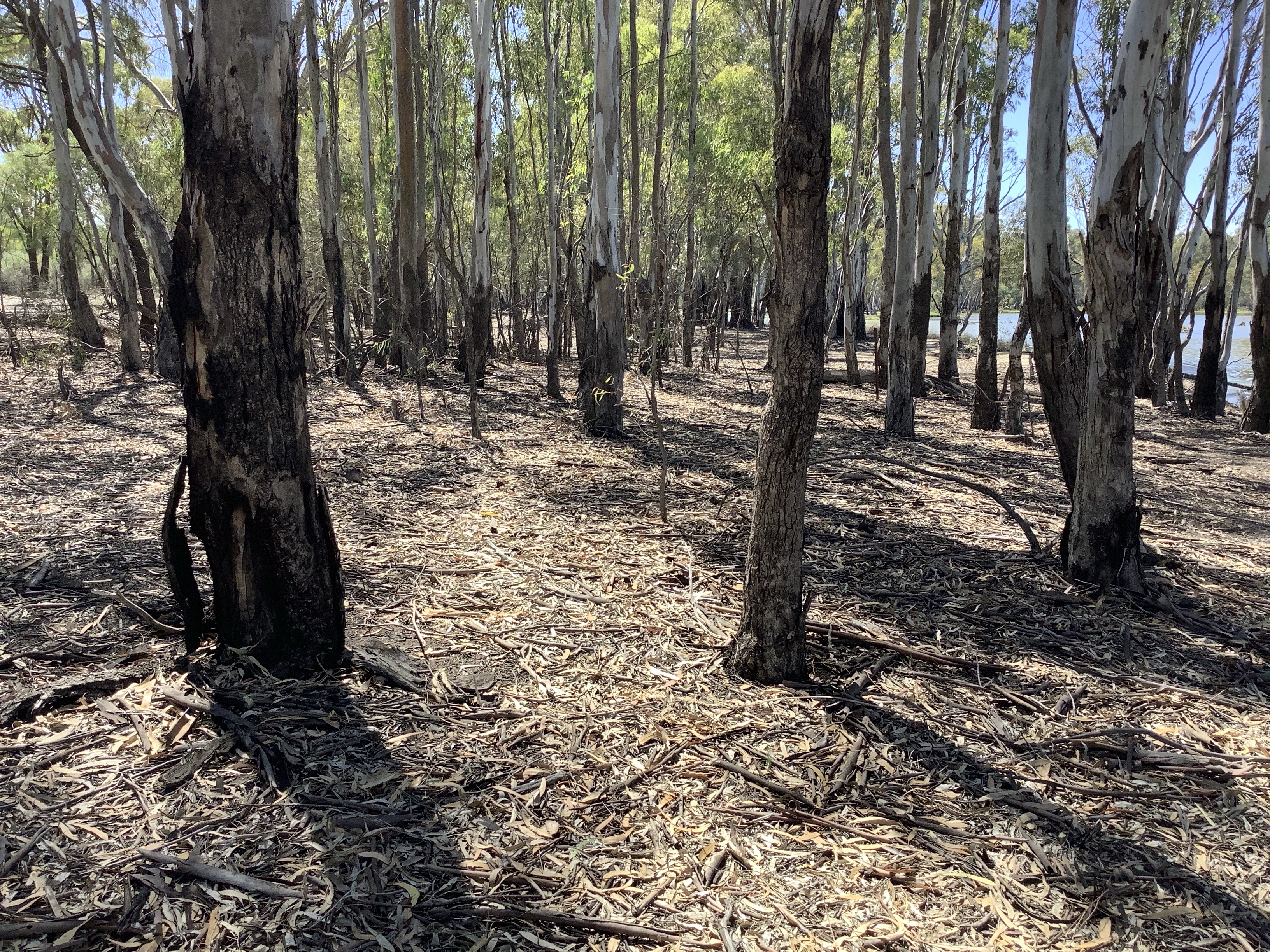
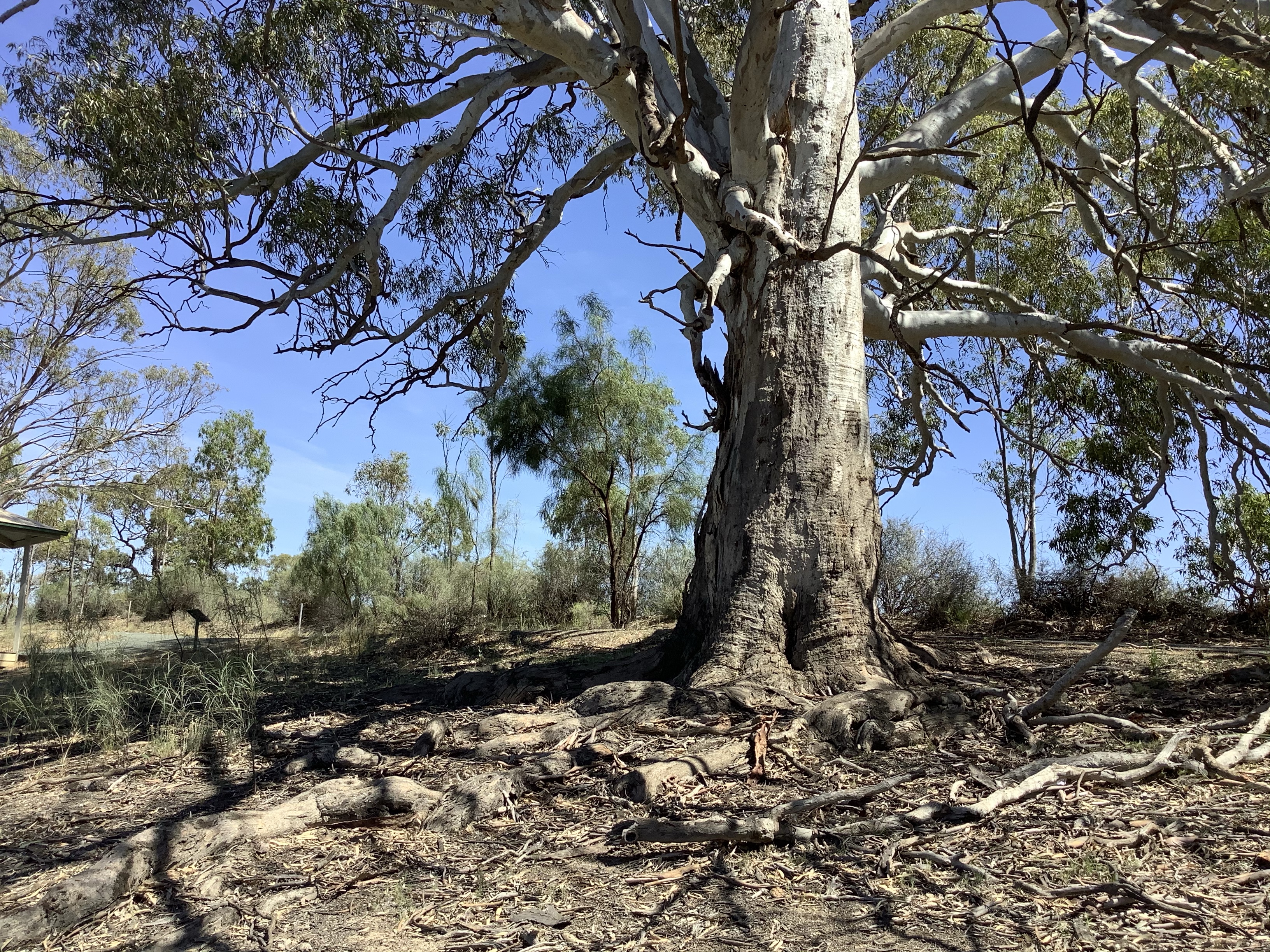
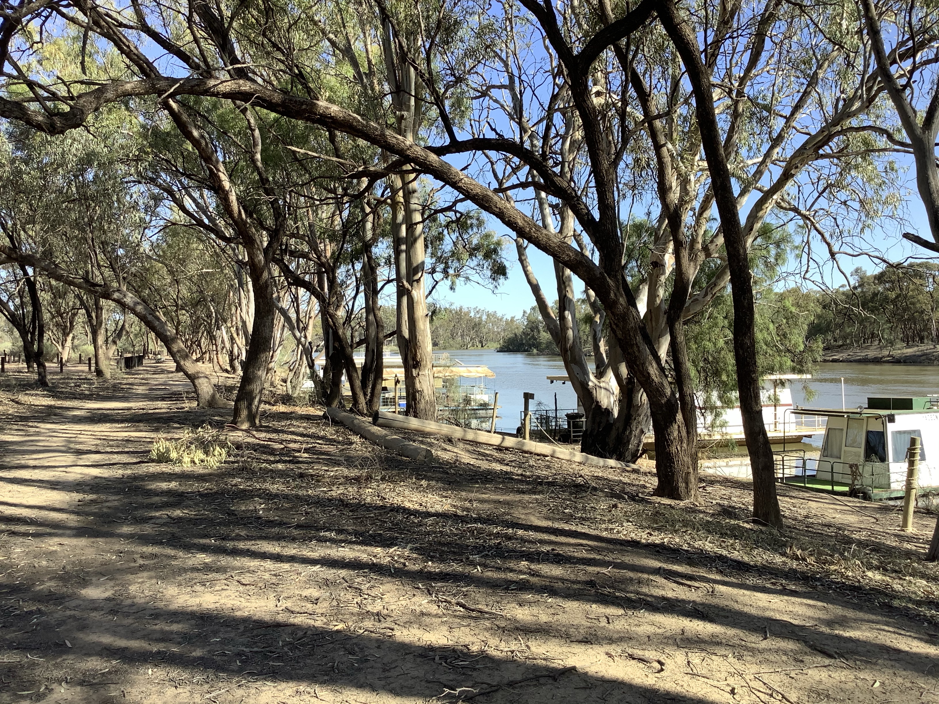
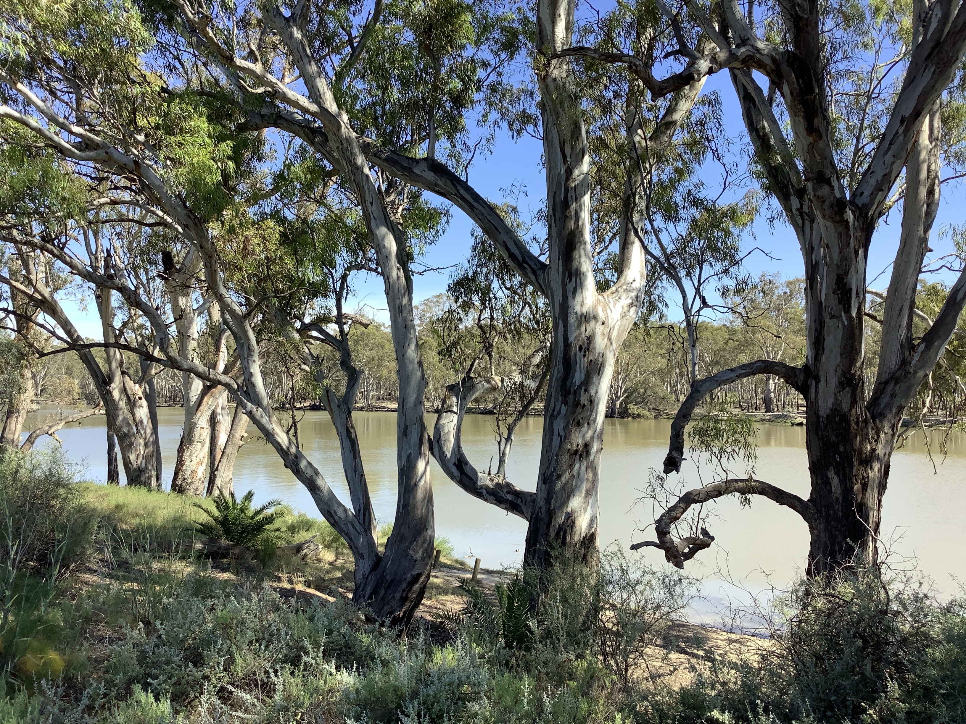
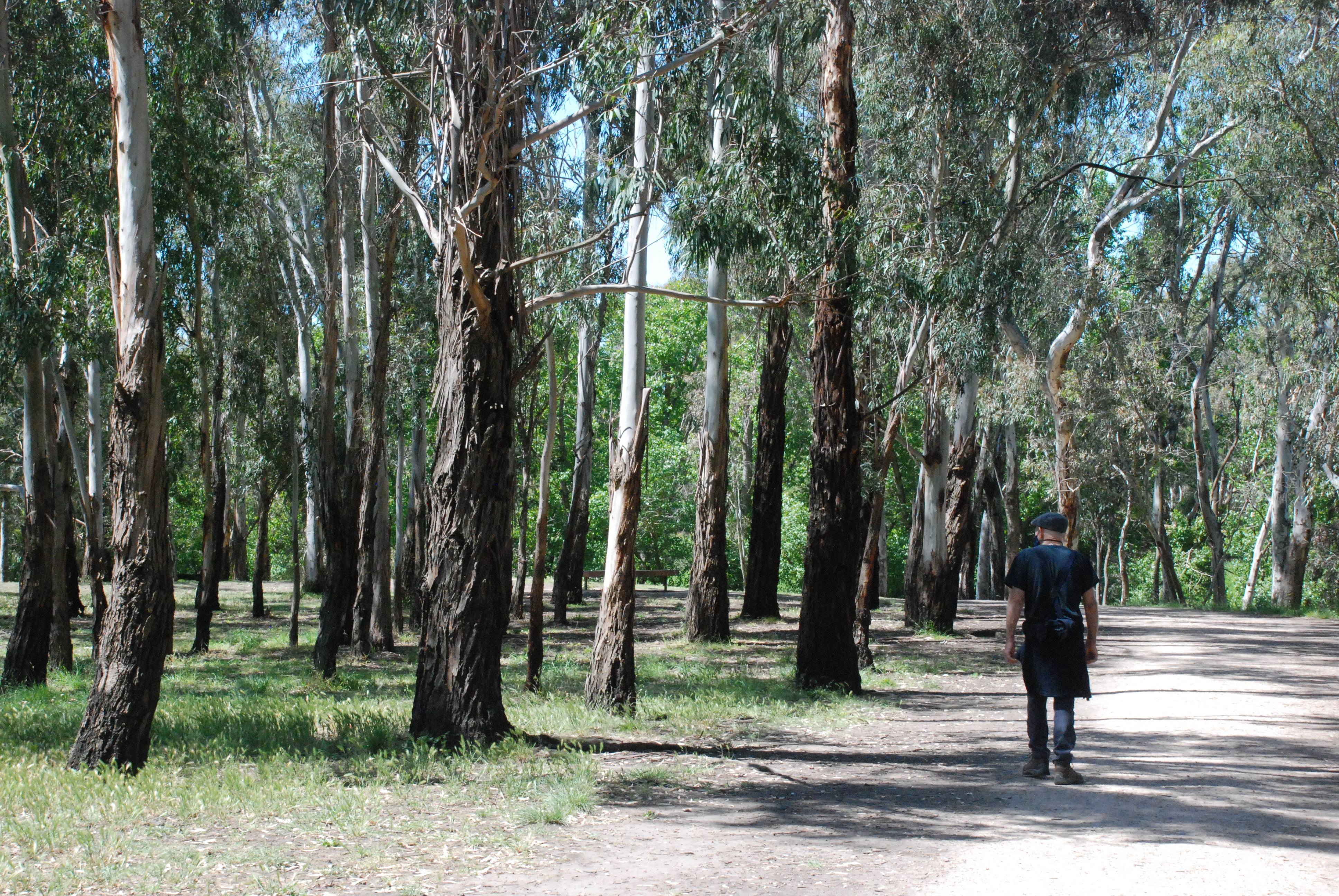
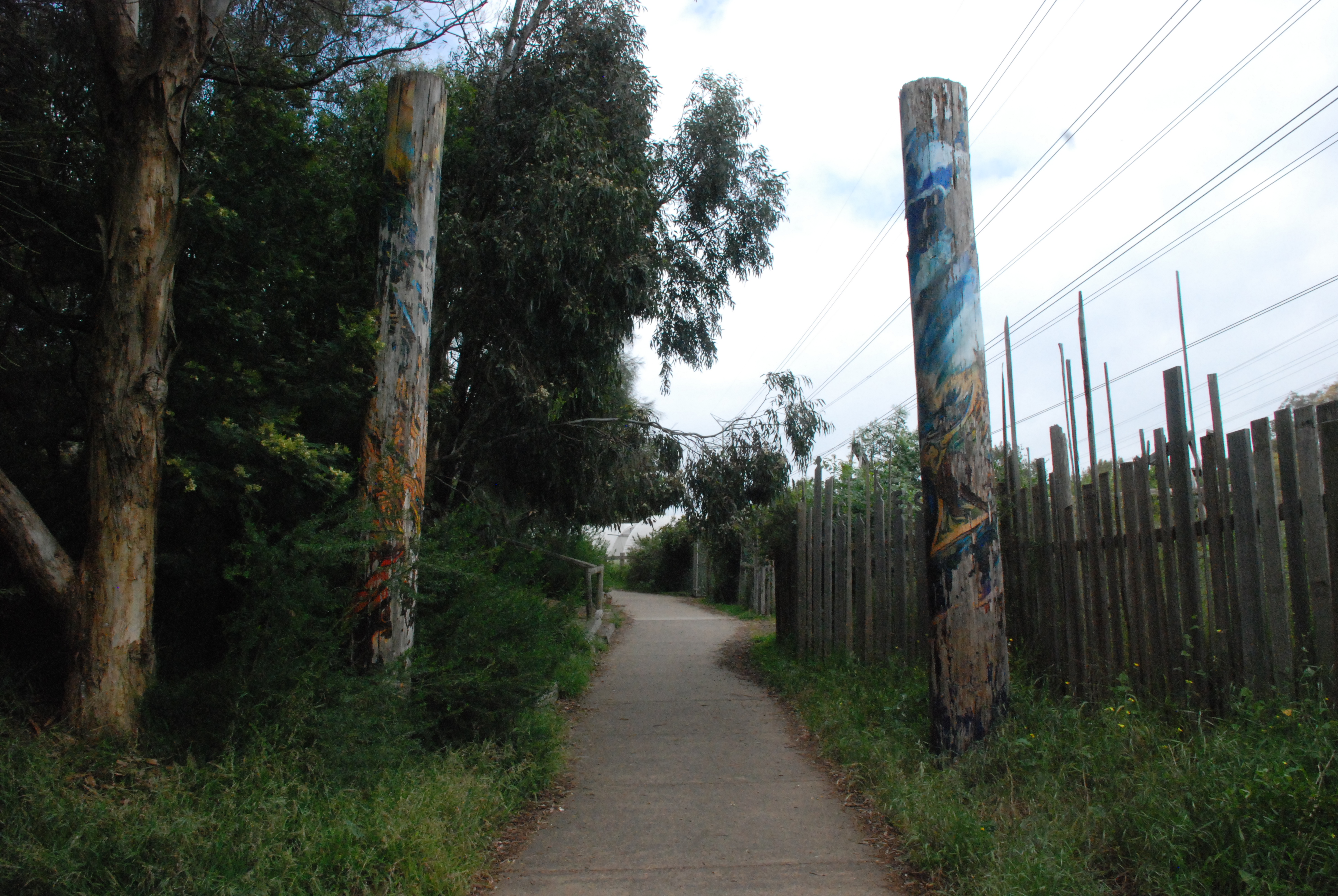
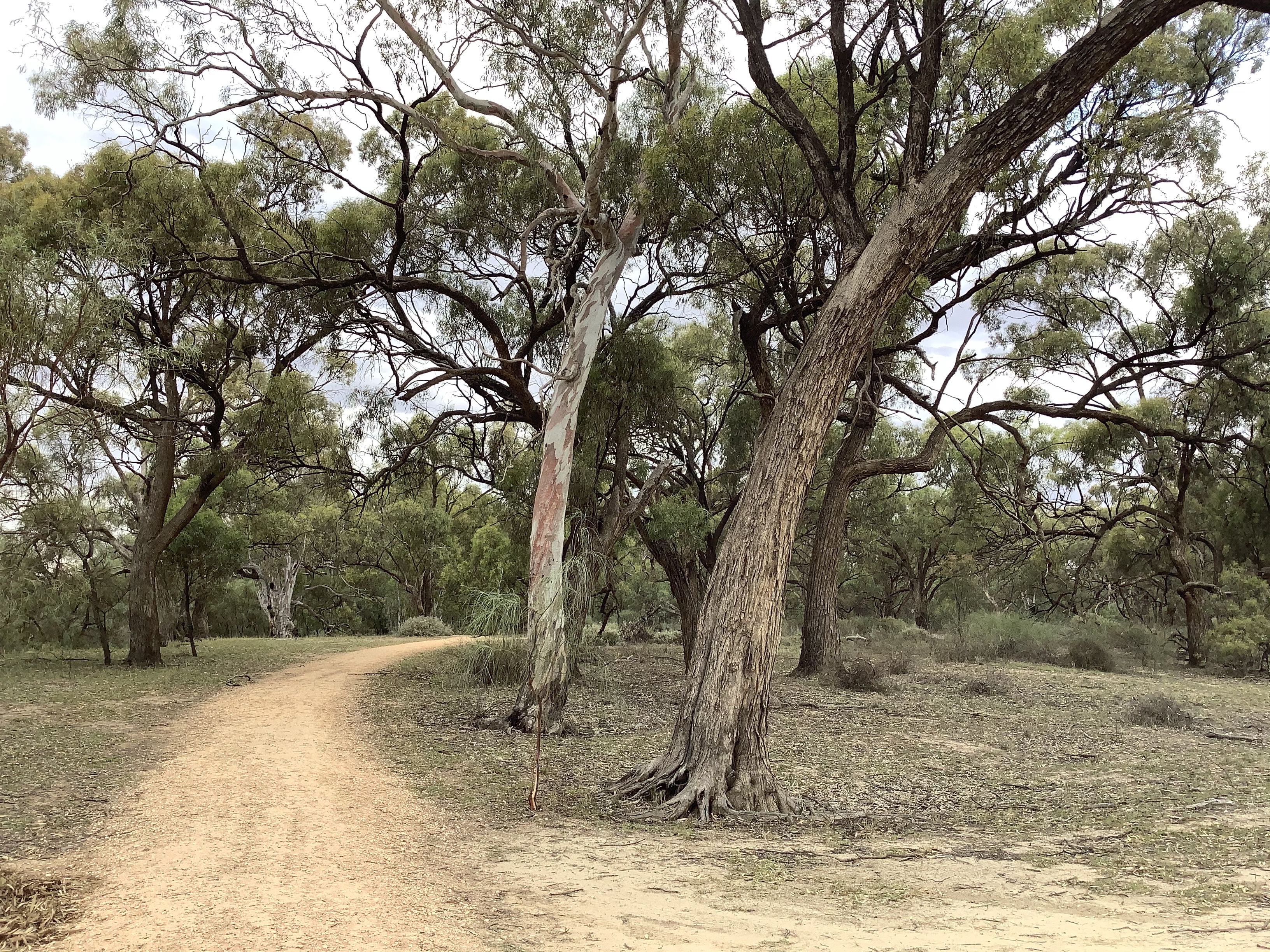
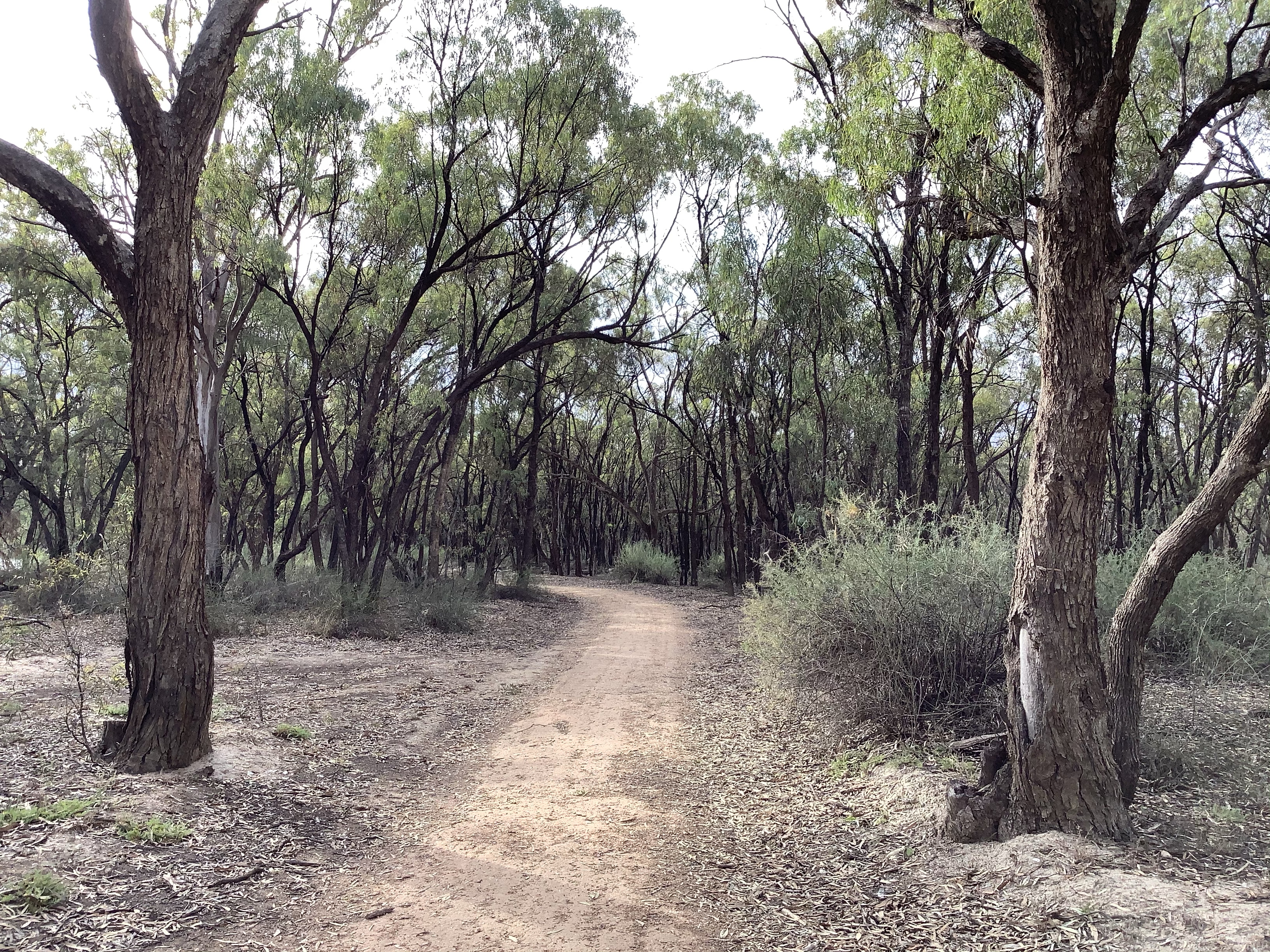
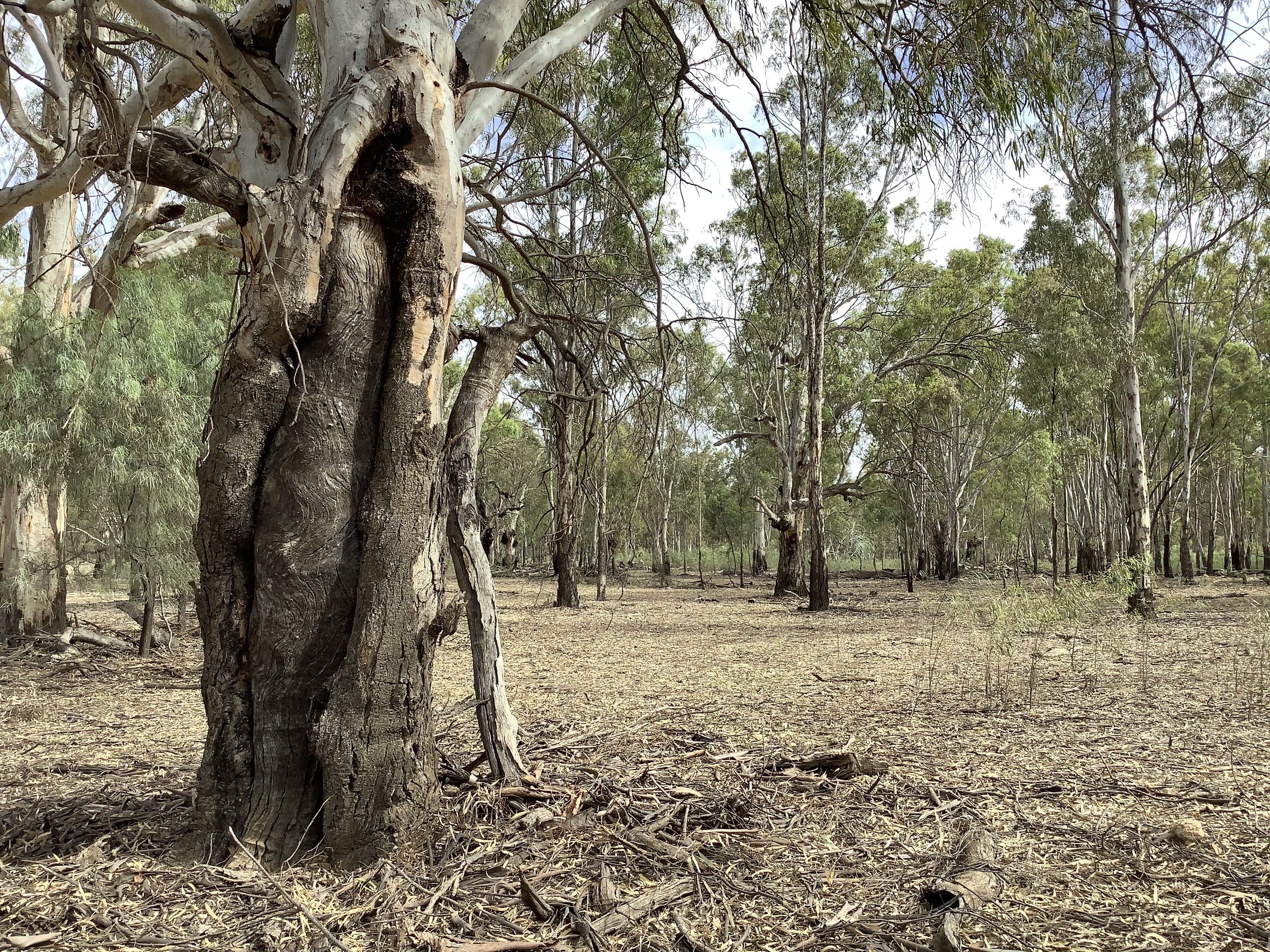
The trail ran between tree sentinels standing rigidly on either side.

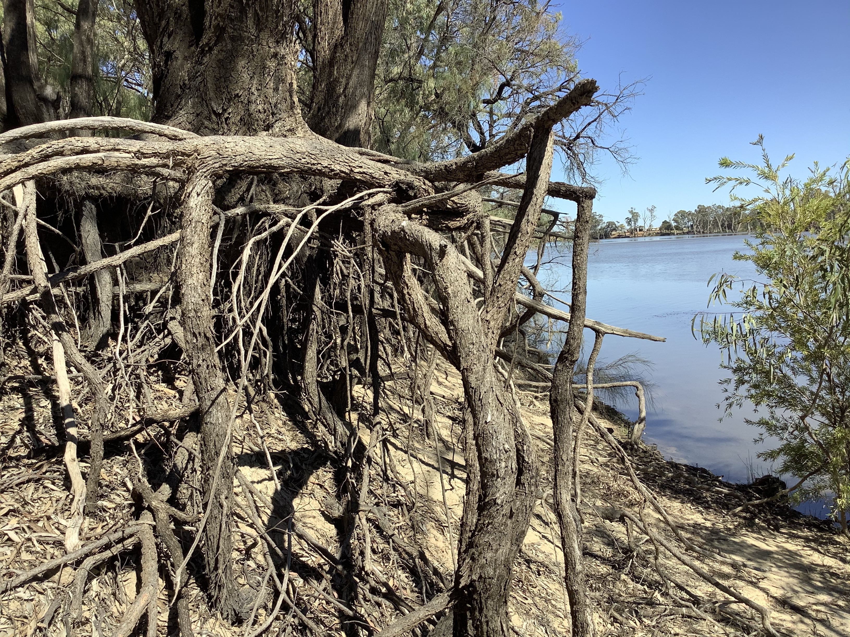
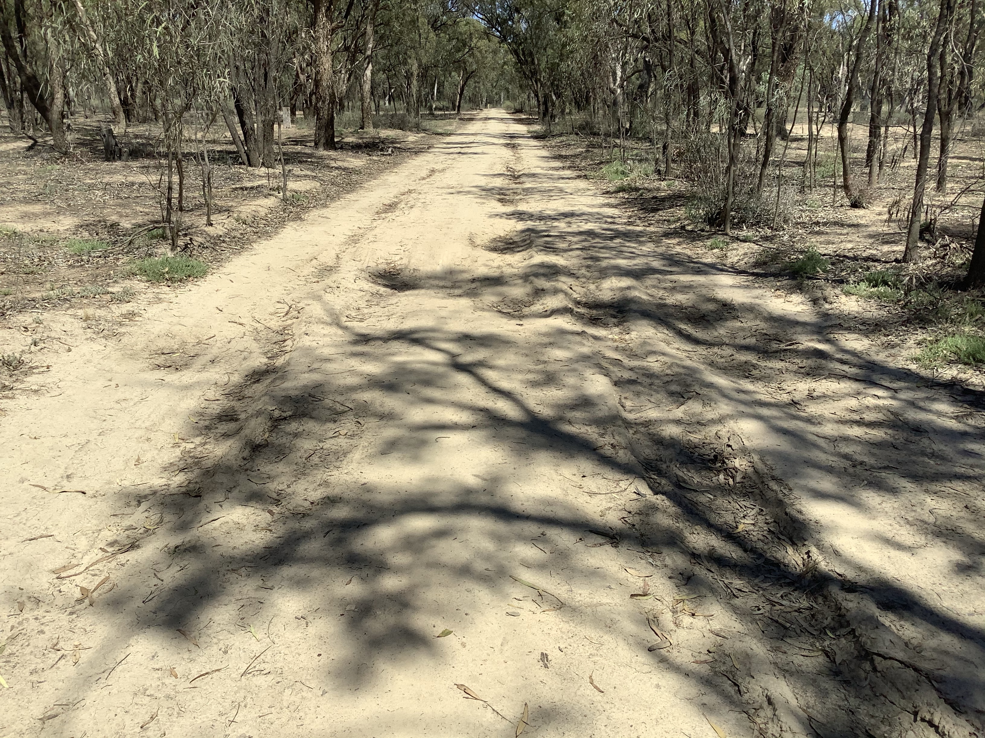
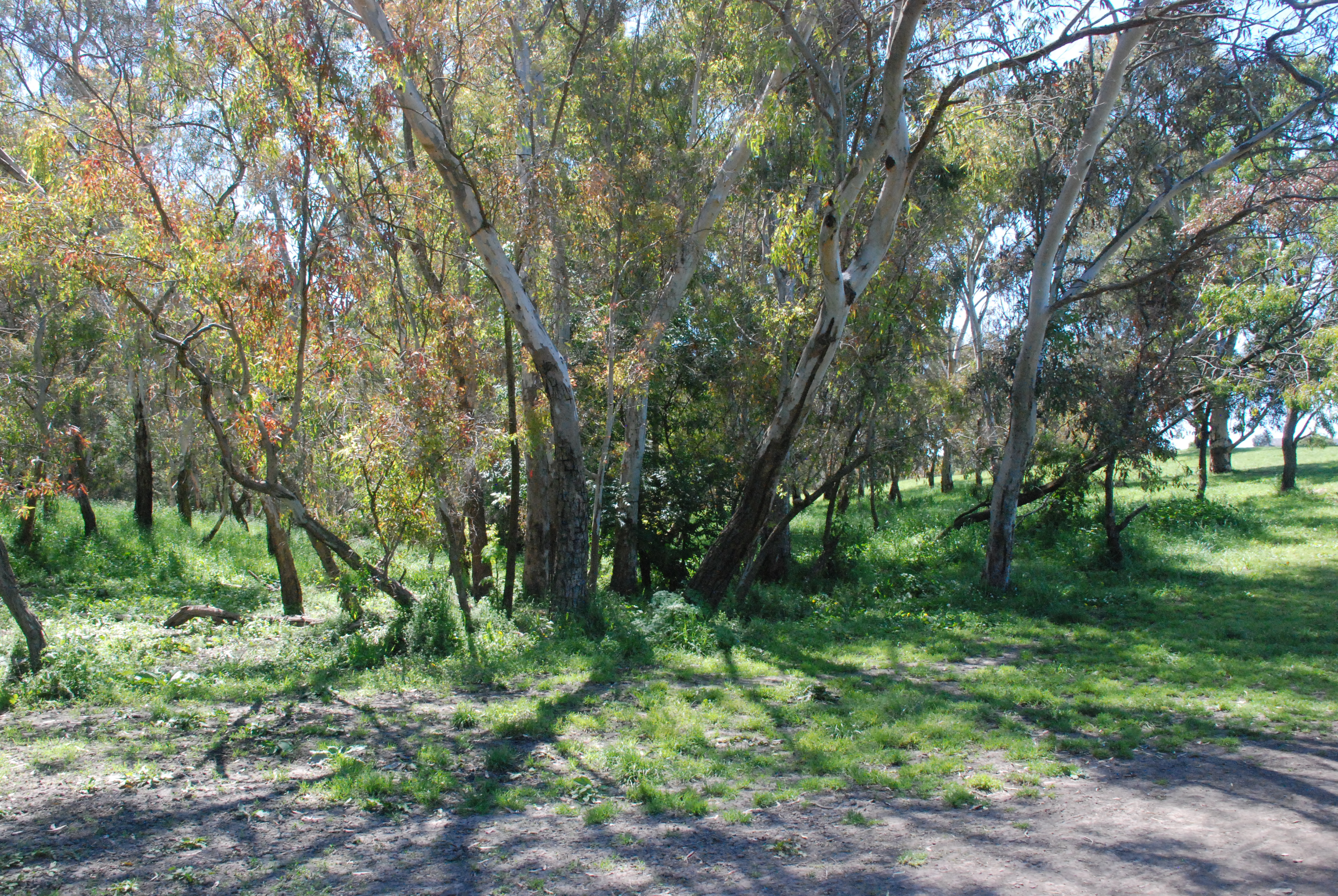
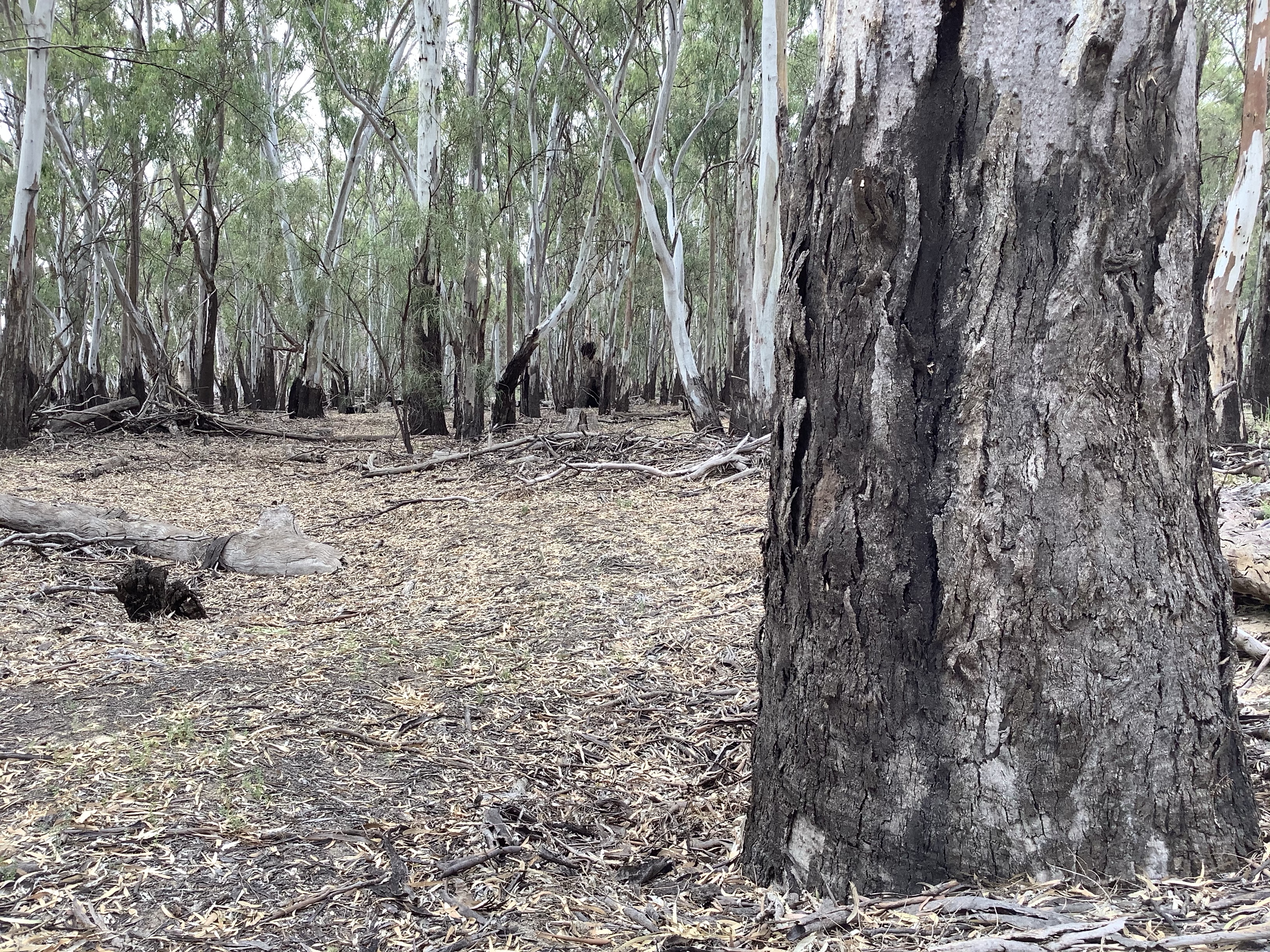
And as the track moved inland I followed the river. At times there were old car tracks to walk on

but often I was looking for a clearing to walk through. It wasn’t my smartest choice to abandon the trail but it sure was interesting.

I was repaid for my adventurous spirit with shoes, socks and pant bottoms full of prickly barbs and seeds.

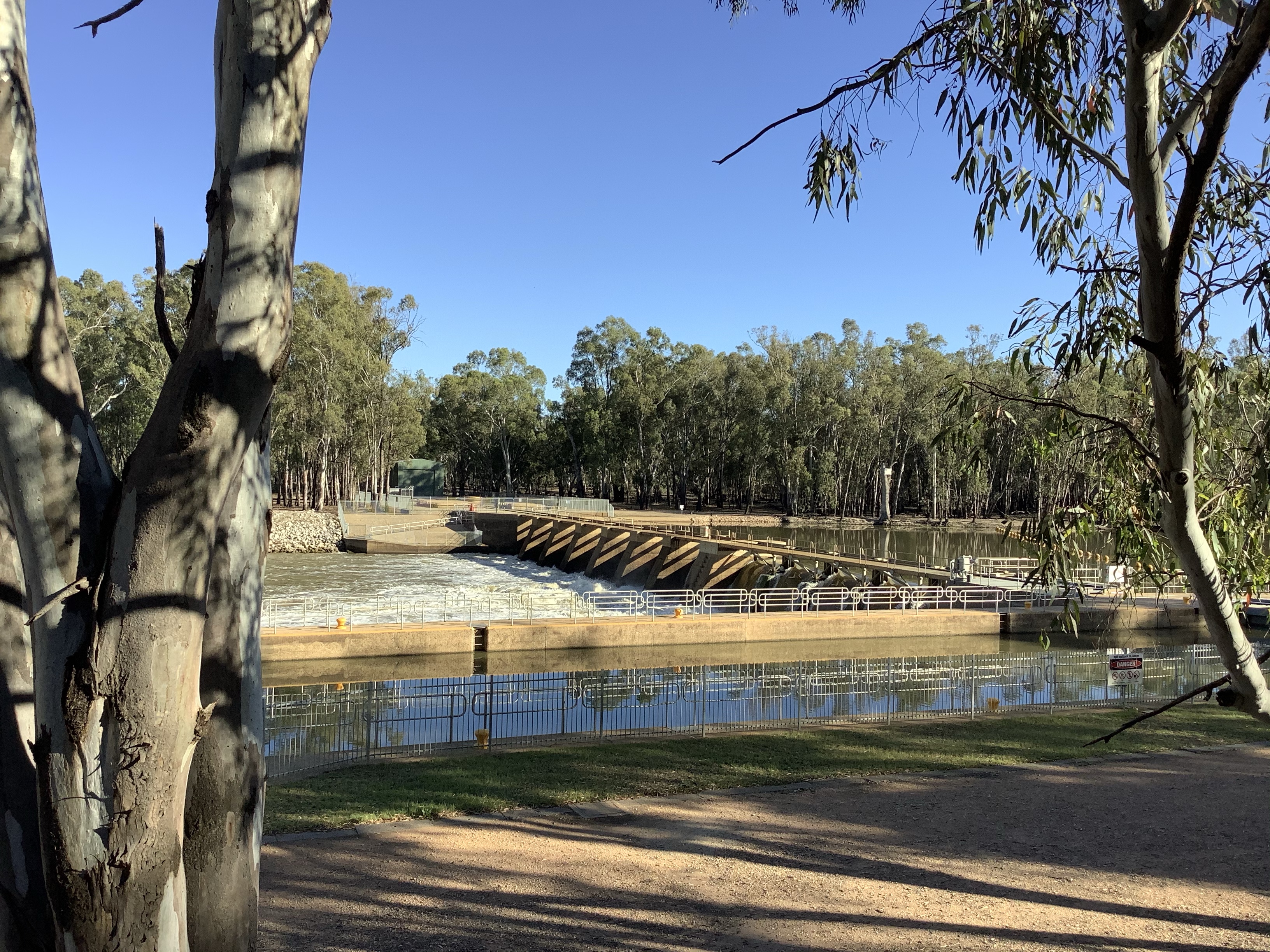
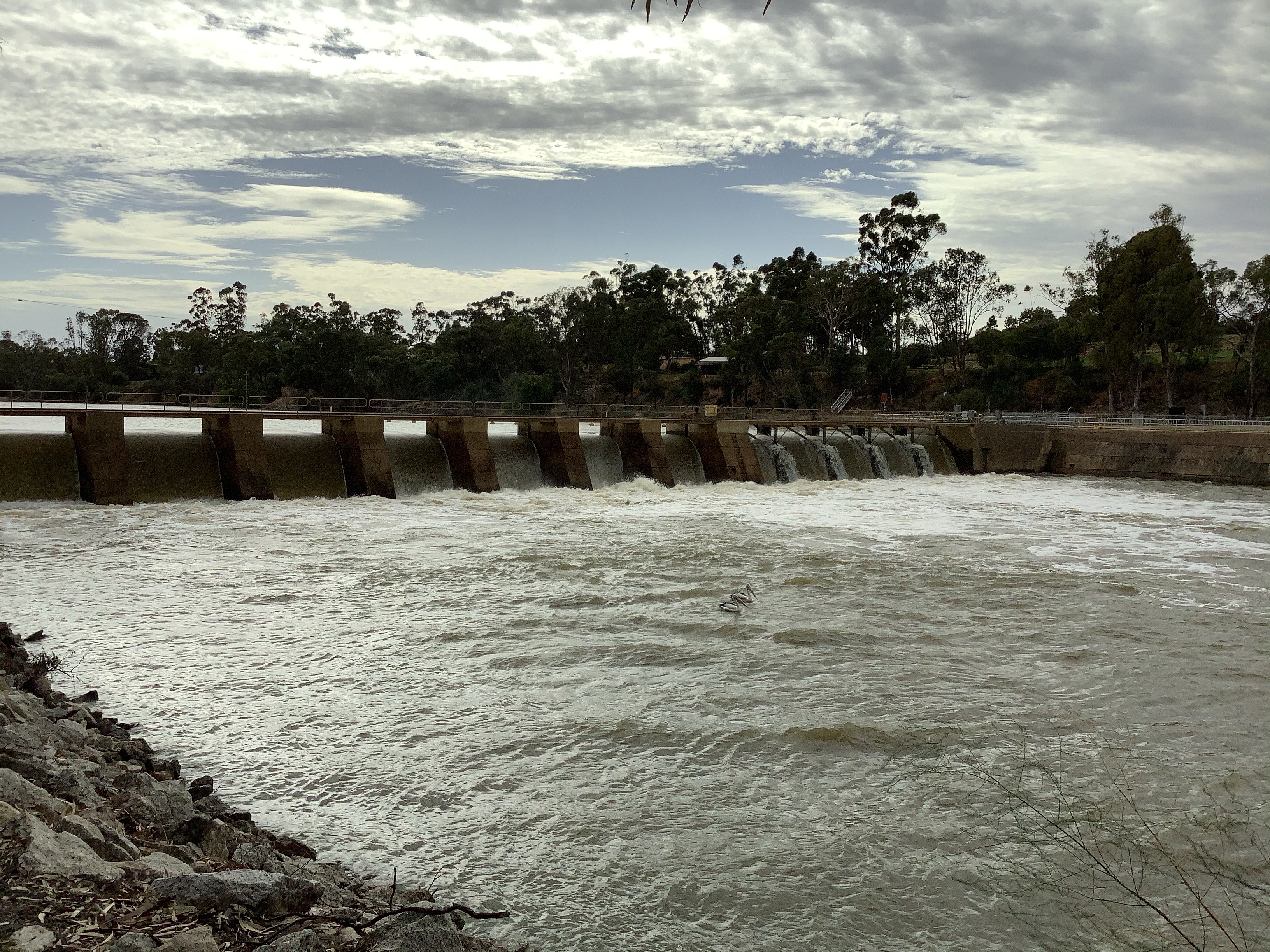
At the Lock and pelicans riding the waves waiting for an easy breakfast.

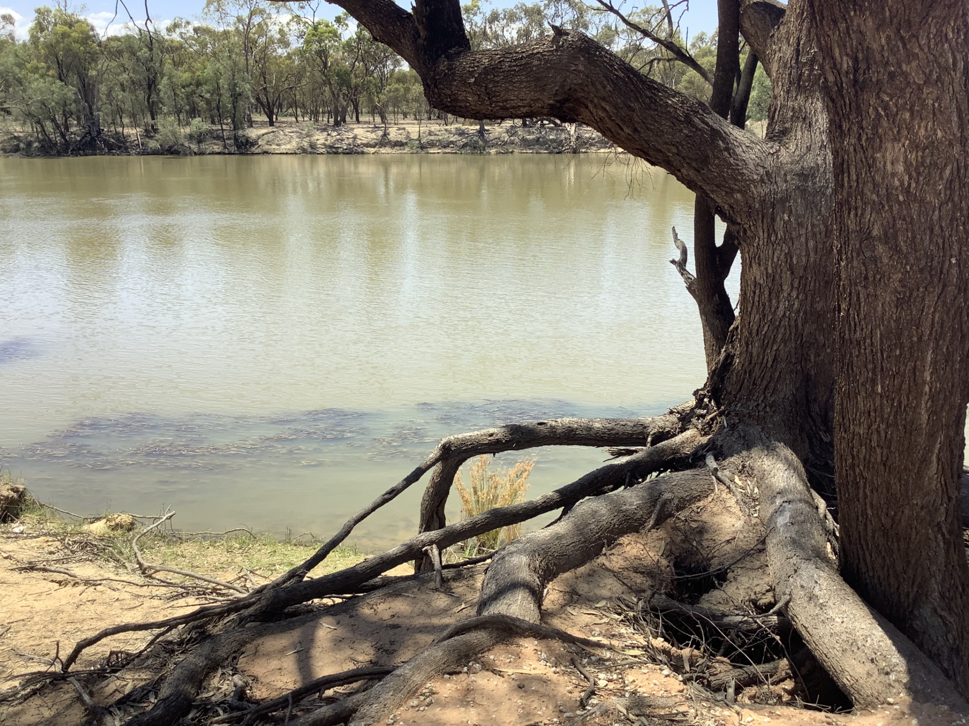
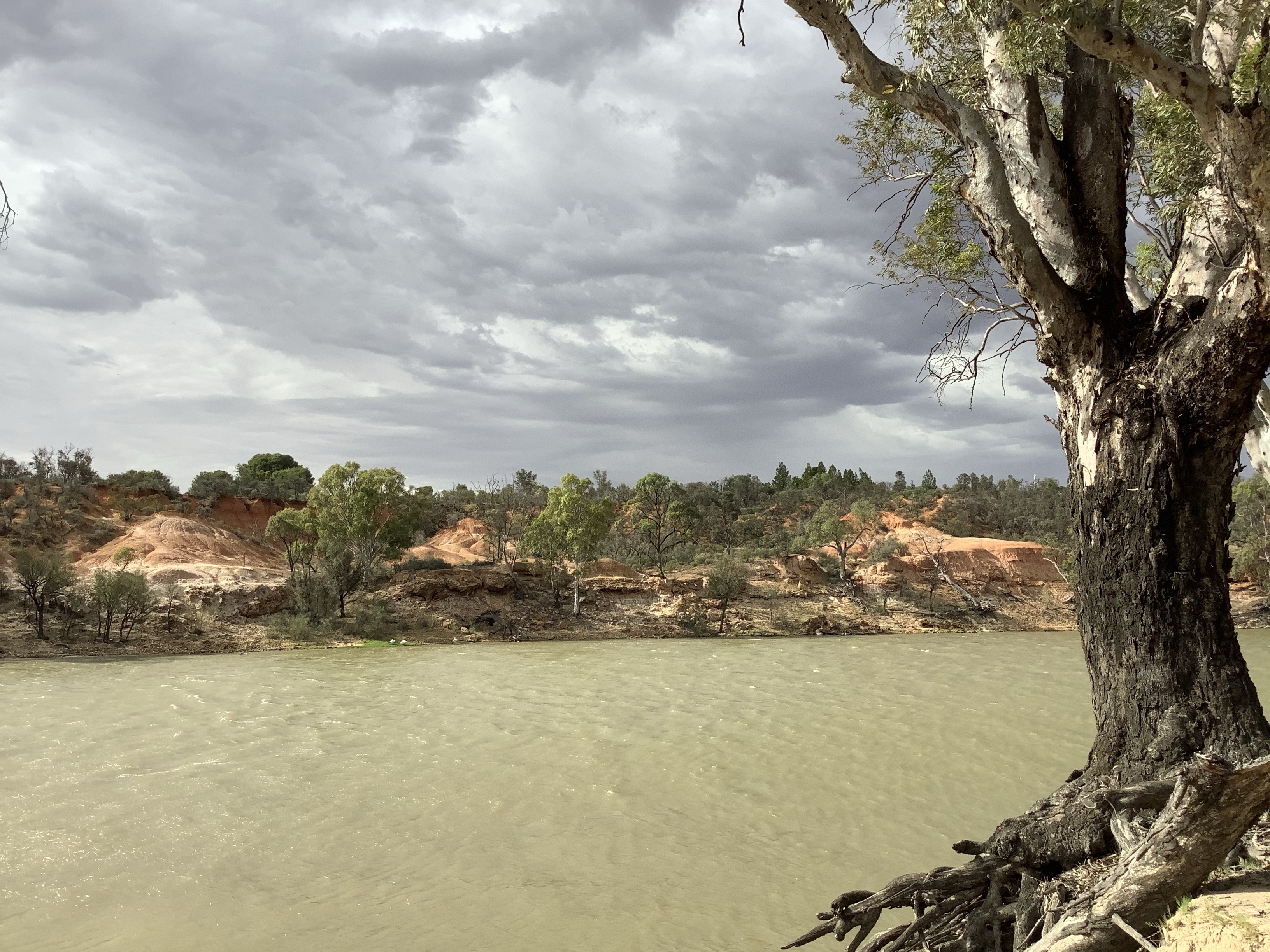
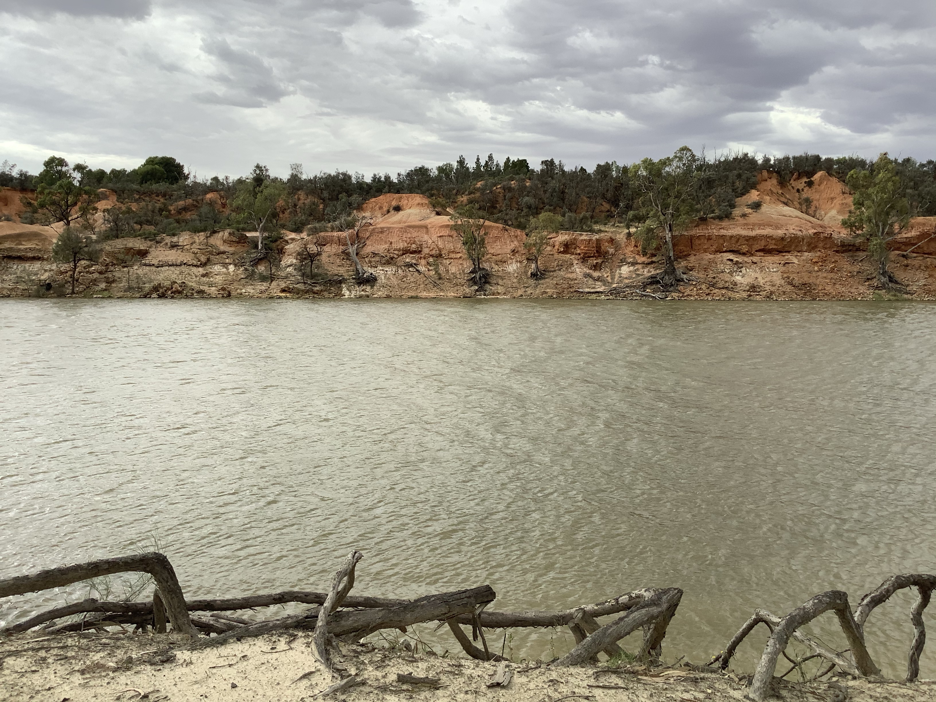
Walking downstream the red cliffs that I wanted to see didn’t disappoint but I wasn’t alone. There was a solitary fisherman down the embankment, sitting on the waters edge. A bit further on a man sitting under the awning of his caravan having breakfast.

The wind was becoming stronger and the water rough. a few drops of rain but not enough to wet anything, fell.

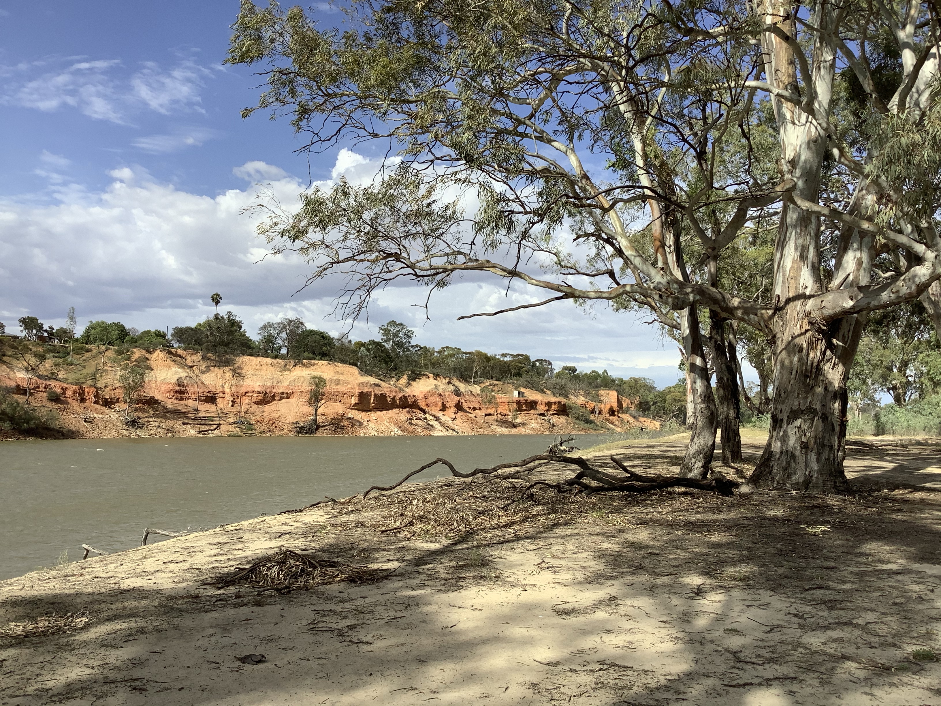
The sky alternated between blue and grey. The wind now felt as though a shower was imminent. A man pushing a stroller with a toddler, his small dog running beside him passed me. I was in no hurry. If I got wet, I got wet. When I eventually headed back to Euston this time I took the track that I had previously abandoned.

I arrived back at the Euston Club at 11, dry. The second part of my day was to visit three of my grandparents at the Euston Cemetery. The clouds didn’t look like they were going to wait til one so I checked in at the Club and ordered a coffee. Good decision. There was a heavy rain but by 1 it had moved on and I ventured out again.

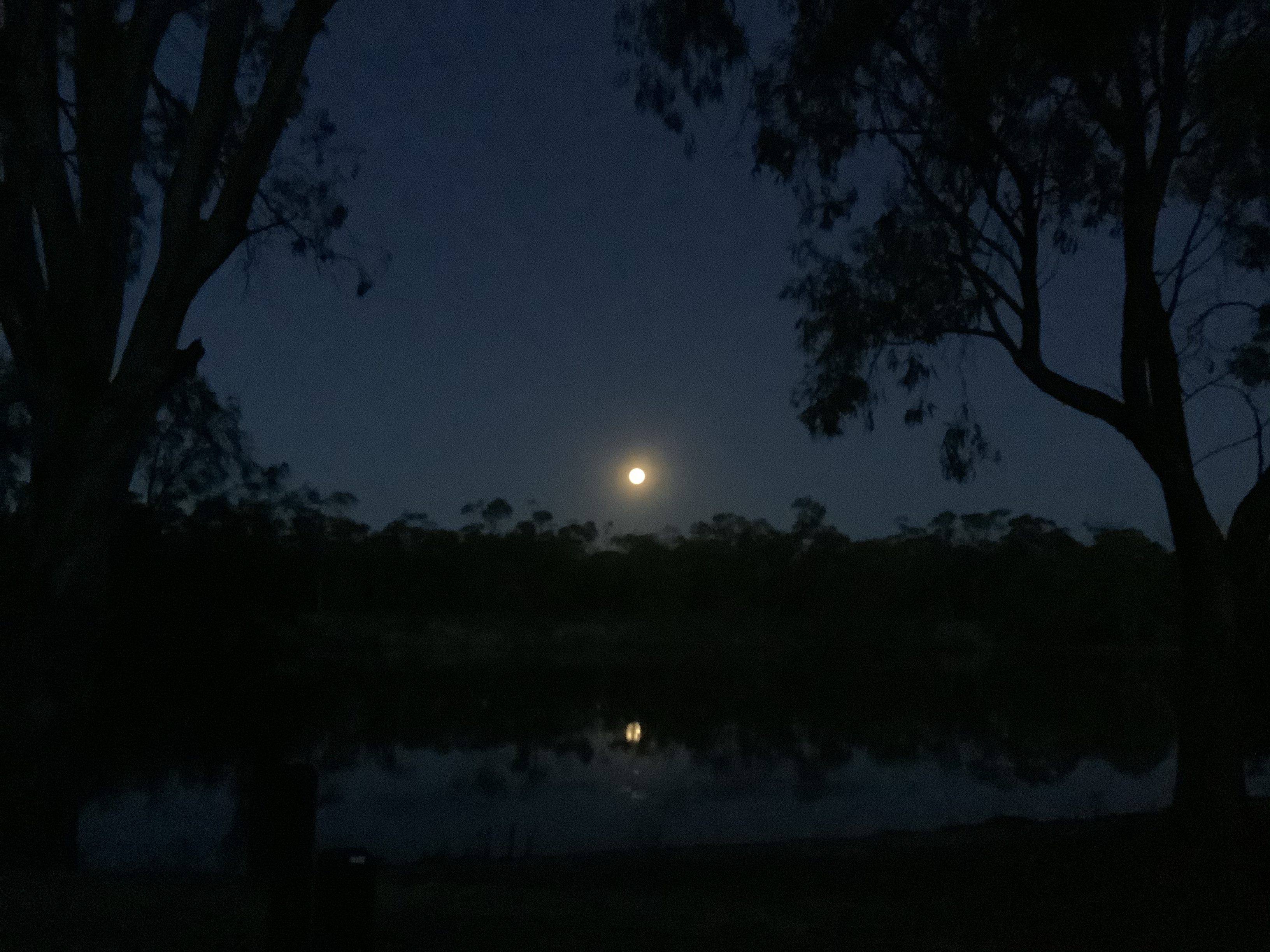
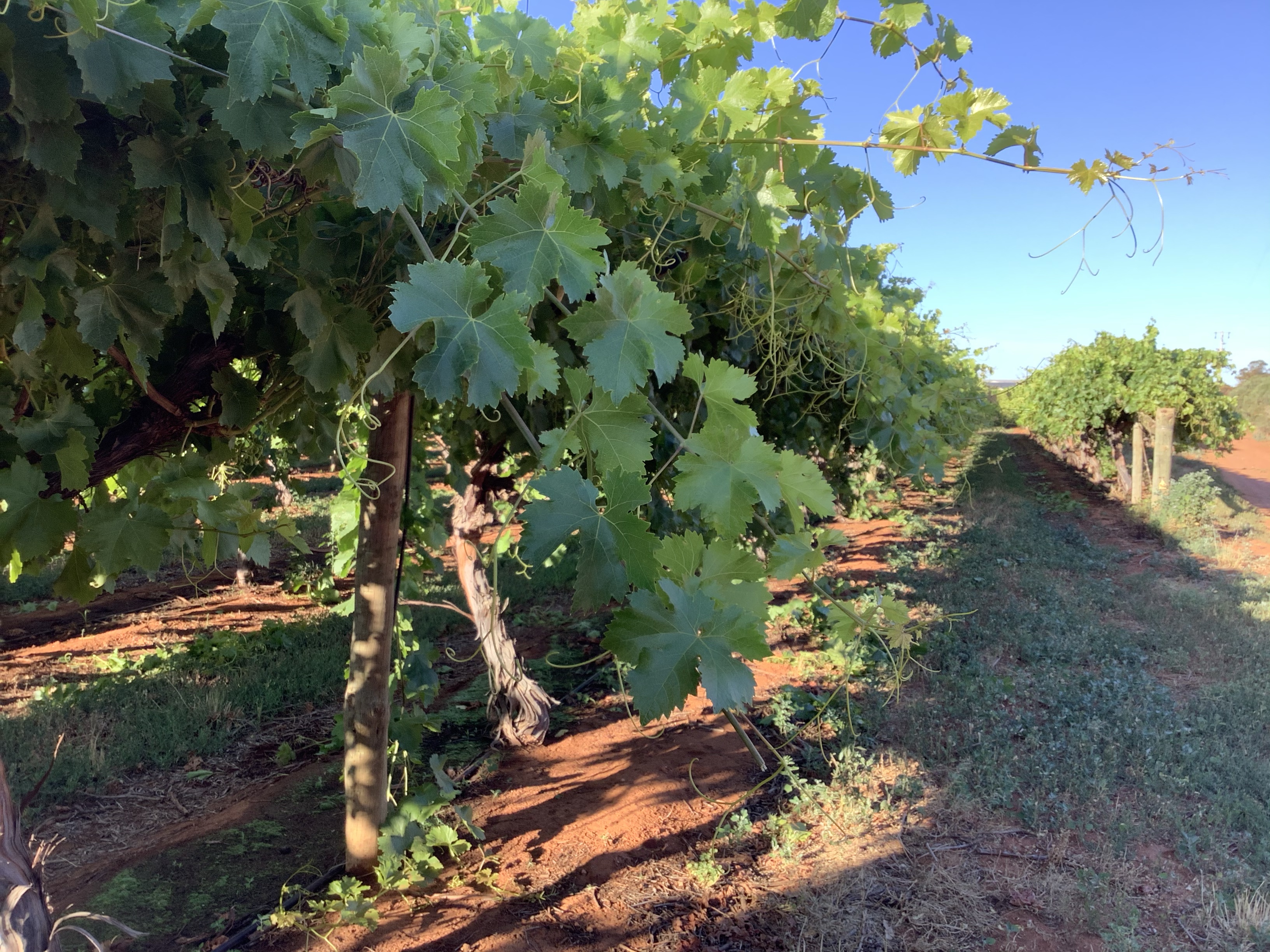
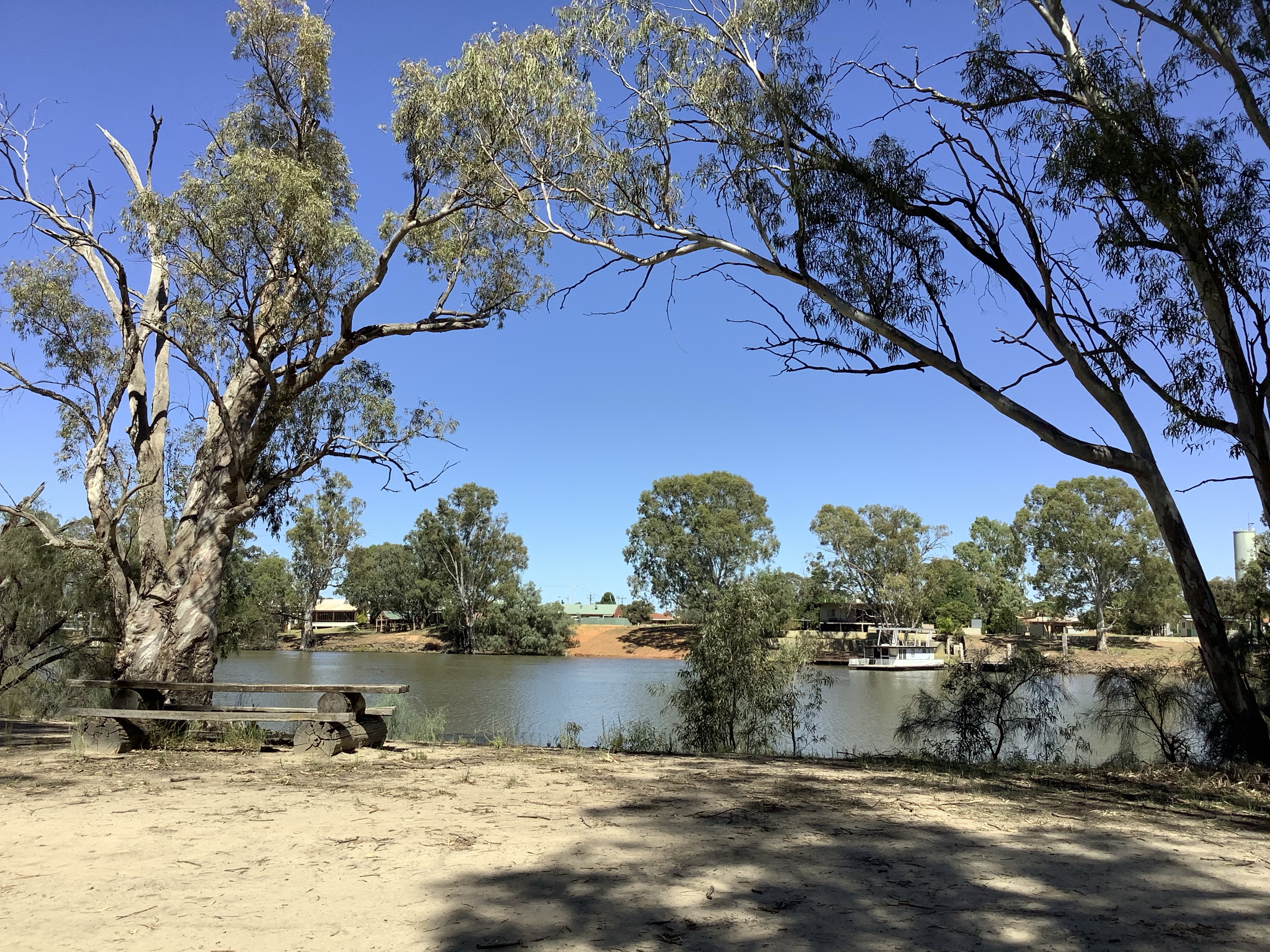
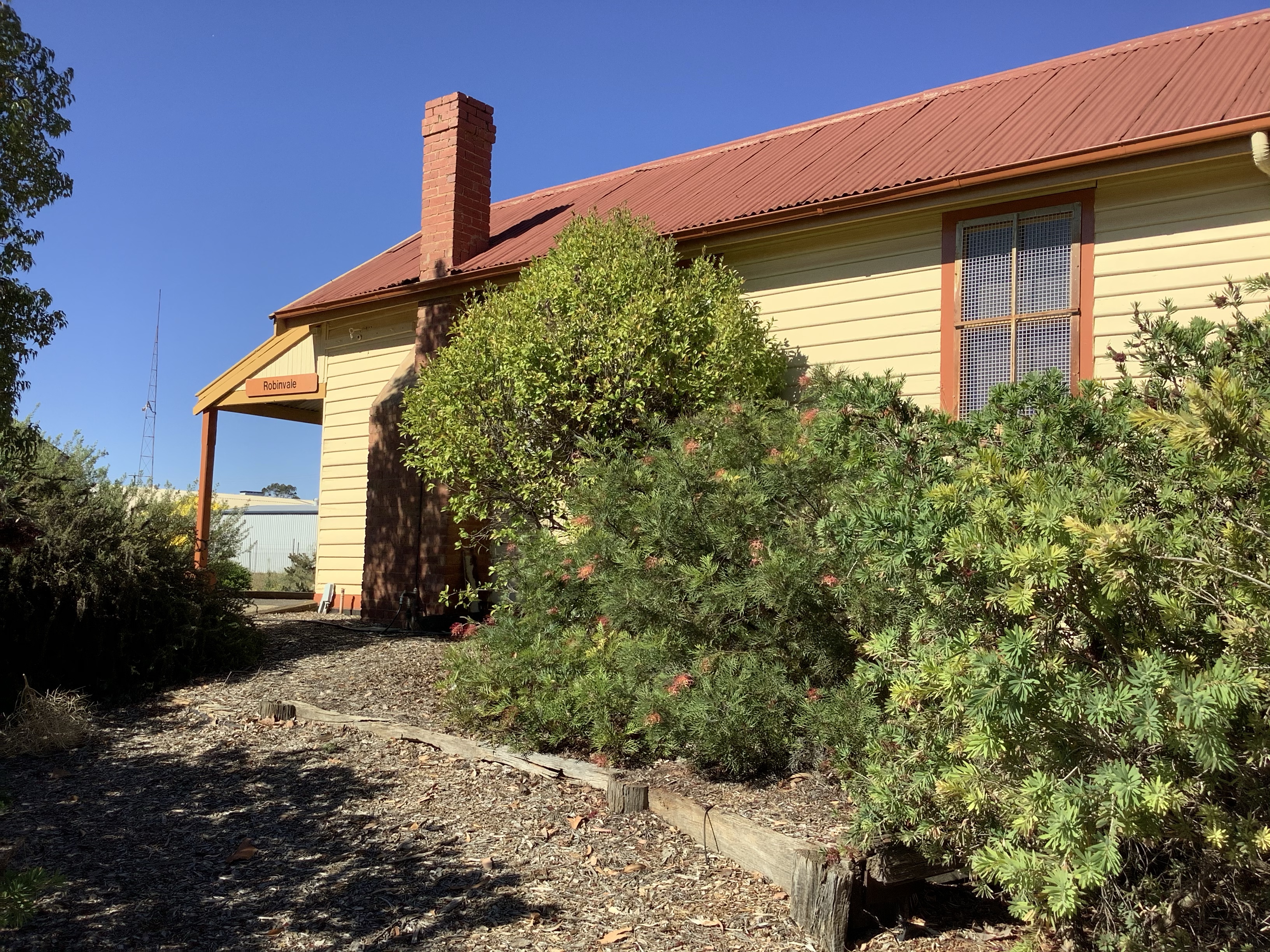
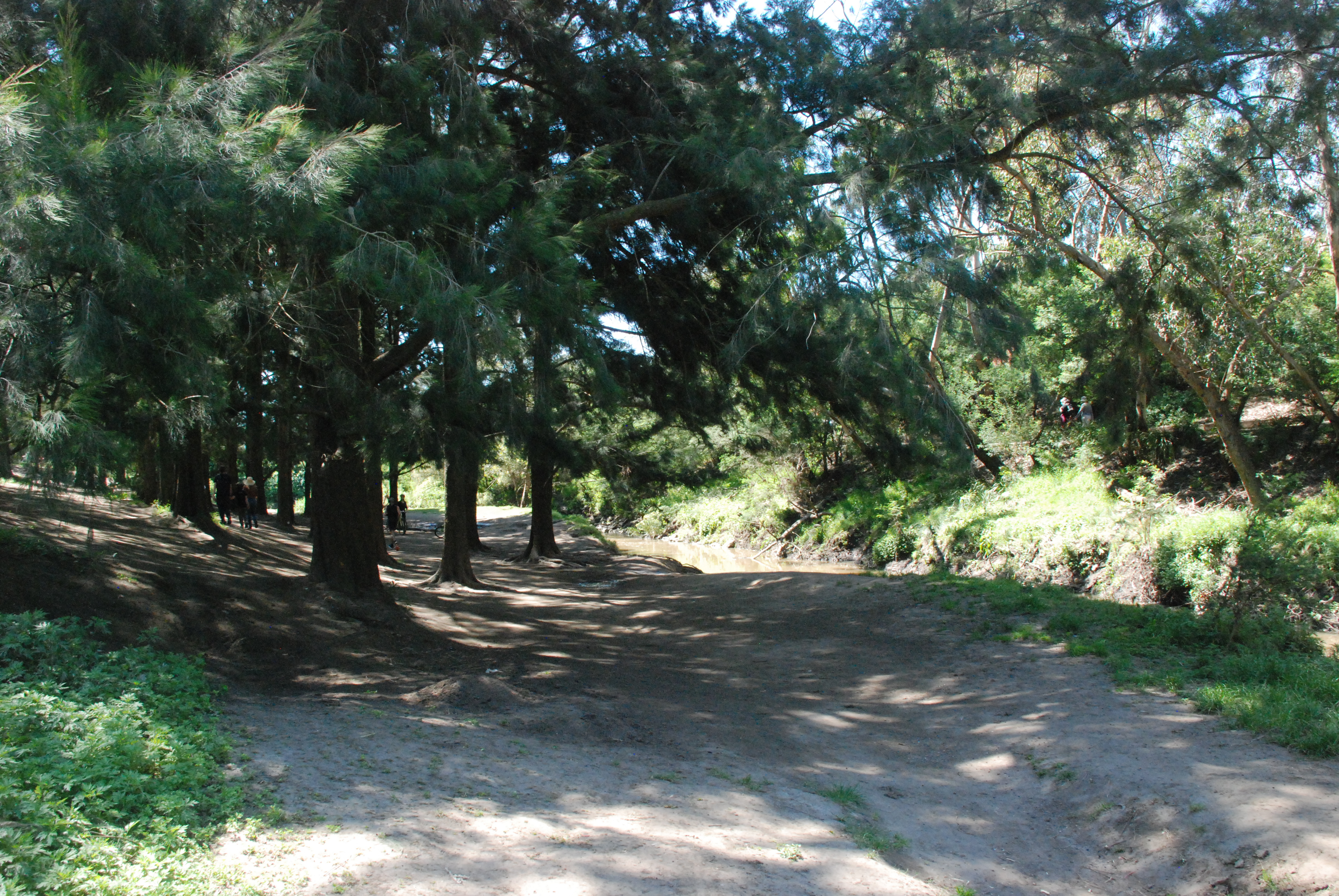
Back at Robinvale the evenings stroll was the perfect end to the day.

Leave a Reply

A walk to Lock and Weir no. 15 from Robinvale

I left at 7 this morning for my walk as the forcast was for a 39 degree day and hotter tomorrow. I zig zagged through the streets of my childhood. They had changed little but they had changed. A new house here, the old garden gone, the police station, the building still there but no longer a station. Like the train station, still there but not. I crossed the Murray Valley Highway which runs parallel to the railway line and walked out along the line. It is now overgrown with weeds, once again still there but not.

I turned right into Pethard Rd or as we called it the Lock Rd. On the far side of the road where I left the railway line and the Murray Valley Highway a Solar Farm. How wonderful to see the solar panels soaking up today’s glorious sun.

The properties on the right hand side along Pethard Rd showed character.

While grapevines added greenery to the other side of the road.

Lock and Weir no. 15 was started in 1932 and completed in 1936. My grandfather worked on its construction during this time. The grounds are immaculately kept with manicured lawns and picnic tables. The Denall fish race which is installed here allows the fish to swim upstream and to be monitored. Robinvale is one of only two places along the Murray where the fish race is monitored. Breeding stock of Murray Cod, Perch and Silver Perch are collected from here because of the healthy size of the fish stock.

Looking downstream from the Weir there are beautiful red cliffs. Many pelicans can be seen in the waters below the weir. I guess they have found that it is easy pickings with the fish using the fish race.

I returned to town the way I came but this time on the other side of the railway line. It was so nice to see the hop bushes where they lined the track. Hop bushes grew in profusion outside our property when I was young and it has been a long time since I have seen them, and in flower.

I continued walking into town, this time past the silos that dominate the skyline of many country towns.

After shopping for our dinner I stopped at the monument to the people that make up the town, to the immigrants, the settlers, the travellers and the locals. The heading on a sign explaining it sums up the town. They Came From Every Country in the World.

Leave a Reply

Walk along the river to the Pumps

I started today near home from where the cut begins to walk upstream to the Robinvale pumping station, just known as the Pumps. Part of this walk I have done many times in the past but this time I’d be walking a bit further. Today was going to be another very hot one. I left early knowing there would be plenty of shade to keep me a bit cooler. I wouldn’t rush my walk so I should be ok.

It was a perfect morning with a cooling gentle breeze.

The sun sparkled waters kept me company, running just in front of me

River trees welcomed me back with arms that seemed to hug me

and long tree roots led me down the river bank

For the first time I saw where a snake had crossed the dirt road and it made me more aware of where I was placing my feet.

Occasionally sprawling gums gave a change to the landscape.

Several water birds, an early morning walker out with her dogs and a small tinny motoring its way downstream was all I encountered for three kilometres. How perfect.

This old fence was once the boundary of my walk

There wasn’t much to spoil the peace and serenity. At Knights Bend standing on a small dirt track by the river basically in the middle of nowhere while trying to send David a photo I turned around to find a car with a boat trailer stationary behind me. What! I jumped off the road…maybe a little overreaction. lol. Good thing the locals are friendly!

Just past Knights Bend, tracks follow a cut through that has formed another island, before finally reaching the Pumps. The scenery changes dramatically here, the trees taller and the bush thicker.

A look back along the river from the where I had walked.

Leave a Reply

Walk to Punt Bend on the Victorian side.

My walks have all started from home but the posts start from different places. Today I start from under the bridge that I had walked across yesterday to follow the river around and view Euston from the Punt crossing site on the Victorian bank. Near the start of my walk is the historic walk sign no. 9 which is just past the bridge. It is a canoe tree. The history board tells how a bark canoe is made and that this tree was the source of the last bark canoe made in the Robinvale area. The canoe was made around 1980 as part of the documentary River People.

I cannot help but marvel at the beauty of the bush

and the beauty of the river

I walked along the river for about 100 metres but then found I could go no further.

I walked up the embankment to the dirt road that pushed its way through beautiful bushland to Punt Bend.

Past trees with spiders legs with a view of Euston in the distance.

Past the rotunda and forest of water trees on the opposite bank that I had admired so much yesterday

to Punt Bend,

and the view across the water that had been my destination for today

I chose to go home down the centre road as I had not planned my return journey and I was not to sure where the road that continued around the rivers bend would take me. The centre road ran parallel to the power lines that ran from Robinvale and passed across the river to Euston. It was not a particularly nice walk but it got me to where I wanted to be. The rutted road showed why signs around the river advise that the roads are dry weather roads only. Along the way kangaroos hopped across the path in front of me so that was a bonus.

A walk to Euston NSW

From home it is a short two kilometre walk to the start of todays walk commencing at the Robinvale Bridge. Beginning my walk over the bridge I could see people out enjoying the water even though the summer hasn’t quite arrived. Along the purpose made walkway it is only a few hundred metres across the river to the steel stairway that spirals down to the floodplain below.

Once at the bottom of the stairs a man made path lead to a picnic bench on the river so I turned toward the river. The trail stopped there. Looking downstream there was a rutted dirt track and a rusted barely there fence and gate. Beyond the fence a sign nailed to a tree forbade entry. Ah guess the trail doesn’t run along the river.

I retraced my steps and followed the wide made path further along and then under the bridge. Nature was beginning to encroach on the edges of the path and it was jagged with dried grasses.

A sign showed that it was two kilometres to Euston. Further along another sign announcing that there was drinking water in 600 metres.

The drinking water was at a small rotunda on the river side of the track and here it was the most picturesque part on the walk. The rotunda looked out over a field of water trees.

Around the rotunda tall slender trees stood proudly in a thick bed of dried eucalyptus leaves and twigs. With the day being very warm the aroma from the eucalypts was soothing and relaxing.

Large trees with their roots snaking over the surface

and colour everywhere. It really was a beautiful spot to sit and relax awhile.

I arrived at Euston through a new housing estate. The town of Euston is small and pretty with a township of five by five streets. At the far side on the river is the Euston Club and Resort. Euston is an old town with much history. From the mid 1800’s until the first bridge was built over the Murray at Robinvale a punt brought livestock, supplies, workers and people on the Cobb and Co. Coaches across the river into the heart of town. At the top of a long narrow park which leads down to the river there are fascinating history boards. In the park a variety of Australiana.

An upcycled kangaroo

On my return journey at the bridge I noticed the trees by the water’s edge. Some still clinging tenaciously to the eroding bank line and other that had fallen.

A walk with history

The Murray River is Australia’s longest river at 2508 kilometres and it is the third longest navigable river in the world. It starts its journey in the Australian Alps. The Murray River now forms much of the border between Victoria and New South Wales. The river then meanders it’s way through South Australia before meeting the Southern Ocean at Goolwa near Adelaide.

Early morning on the Murray at Robinvale

Beginning at the start of The Cut – where the river broke through and formed an island the walk through river history begins.

Houseboats now inhabit the banks of the Murray. There are a series of nine boards along the path that meanders from here to the bridge. They tell the stories both old and new.

Looking across the end of the cut to Bum Bang Island.

At one time the island now formed by the Cut was a place of significant culture and heritage to the local aborigines. On Bum Bang Island there are many canoe trees, middens and artefacts.

On the far left bank still visible are the remains of a barge that broke away in the 1939 flood. The Barge was once used to transport livestock across to Bum Bang Island.

The beauty of the river

River gums

Built in 1926 the home of the founders of Robinvale, Herbert and Margaret Cuttle sits facing the river. It is now a museum.

More river beauty.

Two sentinels stand outside the Civic Centre near the bridge. To the left John Egge came here from China and started working on riverboats in 1854 a year after the first boats travelled on the Murray. He became very successful and was very generous to those in need. The man to the right represents the woodcutters. In the paddlesteamer heyday over 200 boats travelled the Murray. Each burnt over half a ton of dry red gum an hour. Woodcutters supplied wood for the paddlesteamers. The Captains would take what they needed and leave a note to pay later.

Leave a Reply

Free at last – my first journey after Covid lockdown

Because of line work the train to Swan Hill that I had booked had morphed into a bus. It was the last day of track works and as I alighted from the bus at Swan Hill, the train that I had booked pulled slowly into the station, empty. Now all I had to do was to wait for the bus to Mildura to complete my journey. There was confusion and no signs as several busses returning to Melbourne came and went parking wherever they could find a space.

I eventually arrived to my home town of Robinvale into a 39 degree day. It was a bit of a change from Melbourne’s 25 degrees. The old Robinvale railway station still there and restored but no longer in use. A more recent information centre is now the hub for the Vline services. Opposite this the Rural Museum. An amazing place to visit for a walk through the past.

For a gold coin donation be reminded of an era now almost forgotten. Inside and outside of the museum, the past comes to life, the variety of items on show is amazing. From everyday items, old tools, washing machines, uniforms, the list is endless.

This old Reo Speedwagon

Yes please

And a bit of escapism.

Looking down the beautified Main Street from the station.

Turning left And walking towards the river there is a walkway through more local history. All that remains now of the old bridge that crossed the Murray River and flood plains is the lift span. Not exciting history but still history. As kids it was a treat to see the span lifted to allow for water traffic. It was not something that happened very often. When originally built the old bridge was unique as it incorporated a railway line.

A large new memorial to all of the armed forces, each one represented.

Crossing the main road and continuing towards the river is the windmill by the bridge. It is reputed to be the largest in the Southern Hemisphere and was built in 1948 to supply water to the township.

Beautiful Gum flowers are out in bloom

…and you know you are in the country when you see this sign…

Merri Creek Walk North from Ceres

Today we started and finished our 11 k walk with larger than life murals. Just a step off High St near the start of Beavers Rd is this handsome mural on a wall of a building in a bluestone lane.

Bluestone laneways still run between now graffitied back fences and garage doors. Much of the bluestone has been removed but some bluestone remains as edging to roads, in laneways and on roads where side roads abut main roads. Bluestone was a popular construction material as local quarries operated in the area during the mid 1800’s.

Leave a Reply

Continuing down Beavers Rd to the Bridge across the Merri Creek and turning right onto the trail we continued north instead of turning back towards Ceres. The trail here is a wide footpath trail

The sun today a brilliant warm which glistened from the golden hats of the Russian Orthodox Church.

The wide path continued around the Northcote Velodrome and across the Morland Rd bridge where it continued on the opposite side. We didn't take this option and walked under the bridge where a smaller dirt track also followed the Merri Creeks course.

Gums lined and bowed over the creek.

Our walk along this side of the creek was interesting and varied.

The sun still brilliant added colour and shade to the path.

A small grove of pines was a popular spot on the water.

A small bridge brings the Merri Creek Trail back onto our side of the creek just before CERES Joe's Market Garden.

After passing under the Bell St Bridge a track to the left leads to Bowdon Reserve and Bell St. The Trail continues from here for approximately 10 kilometres to the Metropolitan Ring Road at Thomastown. That can be another walk another day. We exited the trail here and walked onto Bell St.

Two hundred meters later and we were passing Coburg Cemetery where a sign proclaimed that we could own our own piece of history as space was still available. Coburg Cemetery began life in 1856 and is one of the oldest cemeteries in Melbourne.

At Gilbert Rd we left busy Bell St for a quieter walk, then turned left onto Miller St. After crossing St Georges Rd we walked down Miller St past the tram depot and along the tram line made famous in the 1986 movie Malcolm.

It was then back onto High St and past this dreamscape mural. Our total walk for the day a relaxing 11 kilometres.

Ceres

It is just over 2 kilometres from Darebin Rd to Ceres and it makes for a delightful urban walk. There are several roads that can be taken but the most direct route is via High St and Beavers Rd. Today I walked down Beaconsfield Rd where I came across this flock of Bird of Paradise.

Eventually though you need to get onto Beavers Rd as it leads to this bridge across the Merri Creek. To the right of the bridge is the Northcote Golf Course.

The Merri Creek trail runs under this bridge. To access the ‘back door’ to Ceres from the bridge turn to the right and then do a U turn onto the Merri Creek trail to walk back under the bridge.

Just a few metres past the bridge the path to Ceres branches off to the right to enter through these ‘totem poles’.

and into a bygone era.

Ceres is a 4.5 hectare site that began its life as a bluestone quarry. In later years it was used as landfill for household and construction items. In 1982 at the suggestion of locals it became an area to grow vegetables and to make compost. Soon schools were using the site to learn about green technology, recycling and organic farming and the Merri Creek that had become polluted was now becoming clean.

There are many community gardens within Ceres but there is a lot more to it than that. Just to name a few there are educational walking groups, a bee group, a chook group, a bike shed, an organic grocery and a café that is open for breakfast and lunch.

There is also an extensive nursery where there is a huge variety of seedlings and plants. Pots, bags of potting mix and worm farms are among the many extra items also for sale.

The nursery specializes in permaculture, natives and bush food.

There is a huge array of in season vegetables. Today I bought carrot, leek, capsicum and chili seedlings.

A large variety of seating is available throughout the grounds. It is not just a place to wander but also a meeting place.

Ceres has been established as a charity with the principal purpose of protecting and
enhancing the natural environment by providing education and information. Ceres Community Environment Park, Cnr Roberts and Stewart Sts, Brunswick East.

Warburton Rail Trail

Lilydale to Mt Evelyn 6.9 k, Mt Evelyn to Wandin 5.4 k

The last train to Warburton ran on Sunday 1st August 1965. The original line with the first train leaving on the 13th November 1901 began at Lilydale and ran for 37 kilometres (23 miles), stopping ten times before reaching its destination of Warburton. This line operated for both passenger and goods services. During the 1970’s the railway line was dismantled and in 1996 the Lilydale to Warburton Rail Trail was established. The trail starts at the far end of the Lilydale Railway Station Car Park. There are three access points to the Lilydale oval and the little white bridge across the Olinda Creek.

the first access point from Lilydale Station car park

Walking along the edge of the ovals takes you to a small sign that directs you over the little bridge and to the left. From here the trail follows the Olinda Creek for a short distance to a crossing on Beresford Rd.

Once across Beresford Rd, large olde world charm signs show the path of the trail. From here the trail that skirts Mt Lilydale Mercy College is the only part of the trail that doesn’t follow the original route as a small tract of the old railway line is leased to the College. The original line begins again at a steep uphill grade on the southern side of the college.

In 2011 a bridge across busy Maroondah Highway was finally installed making the trail true to the original rail line and far safer for trail users.

The rail trail meanders parallel to roads, past back yards and through patches of bushland.

Approximately 1 1/2 kilometres from Mt Evelyn the Owl Land reserve track forks off to the left through carved ‘totem’ poles. For an interesting side trip this trail can be followed for 440 meters through to Hereford Rd.

Once reaching Mt Evelyn the trail passes behind the old railway station building. During the 1990’s the old station house was converted into the towns library and extra rooms added for a cafe and community space.

Just past the station is a reconstructed platform with stoic conductors waiting for the next arrival. Large wagon wheels along the base of the platform give a small history of the train line and settlement of Mt Evelyn. From the boards I learnt that in 1954 a special train carried Queen Elizabeth and the Duke of Edinburgh through Mt Evelyn on their way to stay at O’Shannassy Lodge. Further along on the opposite side is more history of the area with painted boards done by local schools and organizations.

From here the trail crosses busy York Rd but unlike the Aqueduct Crossing further down York Road, this is a safe crossing with pedestrian lights. Six Hundred metres from this crossing is the second busy road crossing, also with pedestrian lights.

This is a beautiful part of the walk, the mountains often present in the distance. The rail trail dips in and out from Clegg Rd though mostly it is through beautiful tall timbers.

At Bailey Rd a bridge crosses high over the road and Stringybark Creek.

More beautiful bush

On Warburton Highway at Wandin right next to the trail where the trail crosses the highway is a bus stop. – very convenient. A bus was to be my return journey back to Lilydale. I checked the time of the next bus. At this time of day the buses ran hourly and there was a bus due in 4 minutes. I decided to forgo the extra 330 metres to the Wandin Station as this would be the starting point for the next leg of my Warburton Trail walk.

Across from the bus stop a Rotary Rotunda on the Warburton Trail.

Total walk 12.3 kilometres