She's Gone Walkabout

walkabout – a journey of one's choosing to satisfy the need to be somewhere else

General

Yarra River Walk from Chandler Bridge

From Thornbury it is a 5 K walk to Chandler Bridge. Just for a bit of variety from Darebin Rd I walked in a zig zag pattern though the surrounding streets past All Nations Park and the Rubie Thompson Reserve onto Separation St then onto Grange Rd which leads to Chandler Bridge.

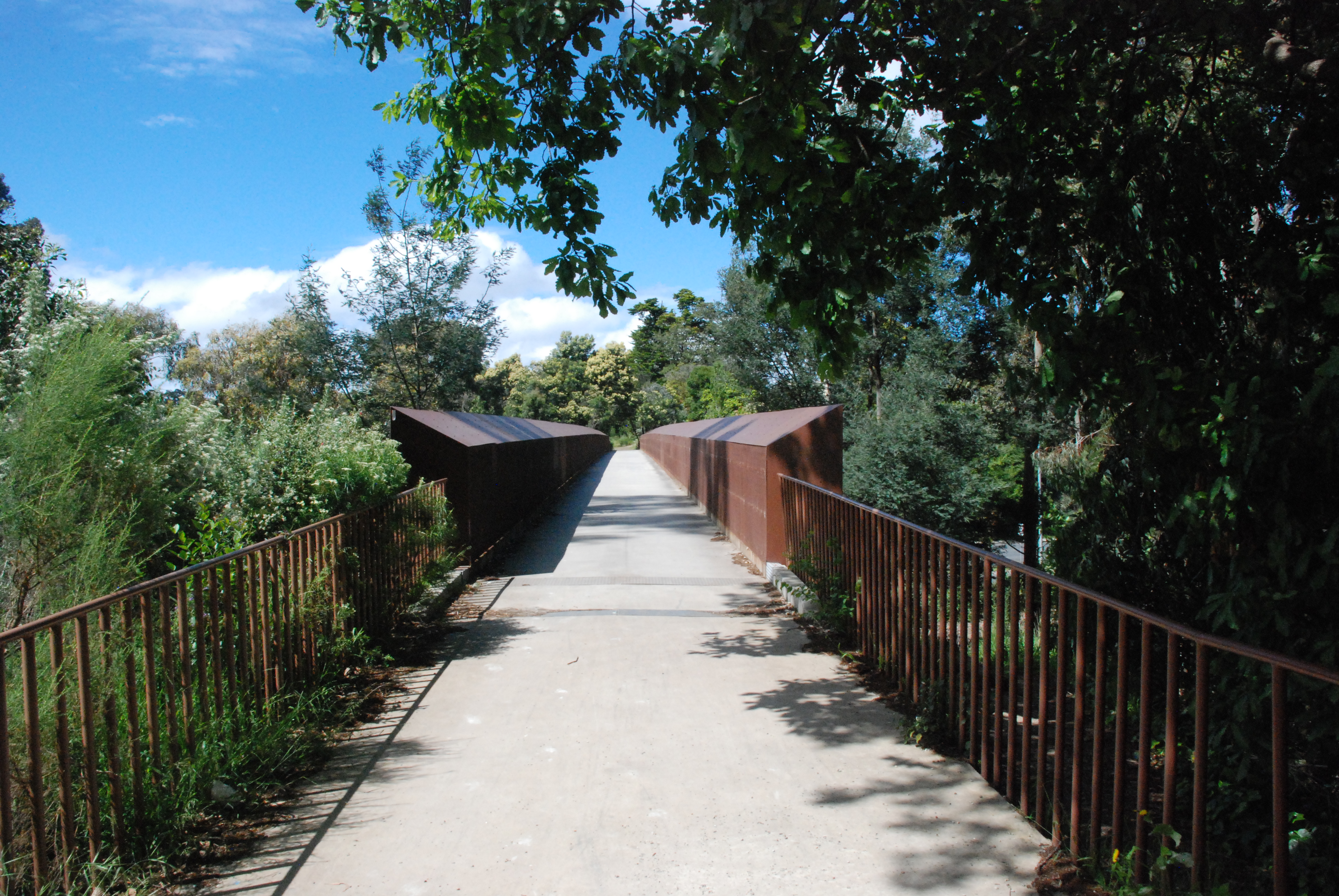
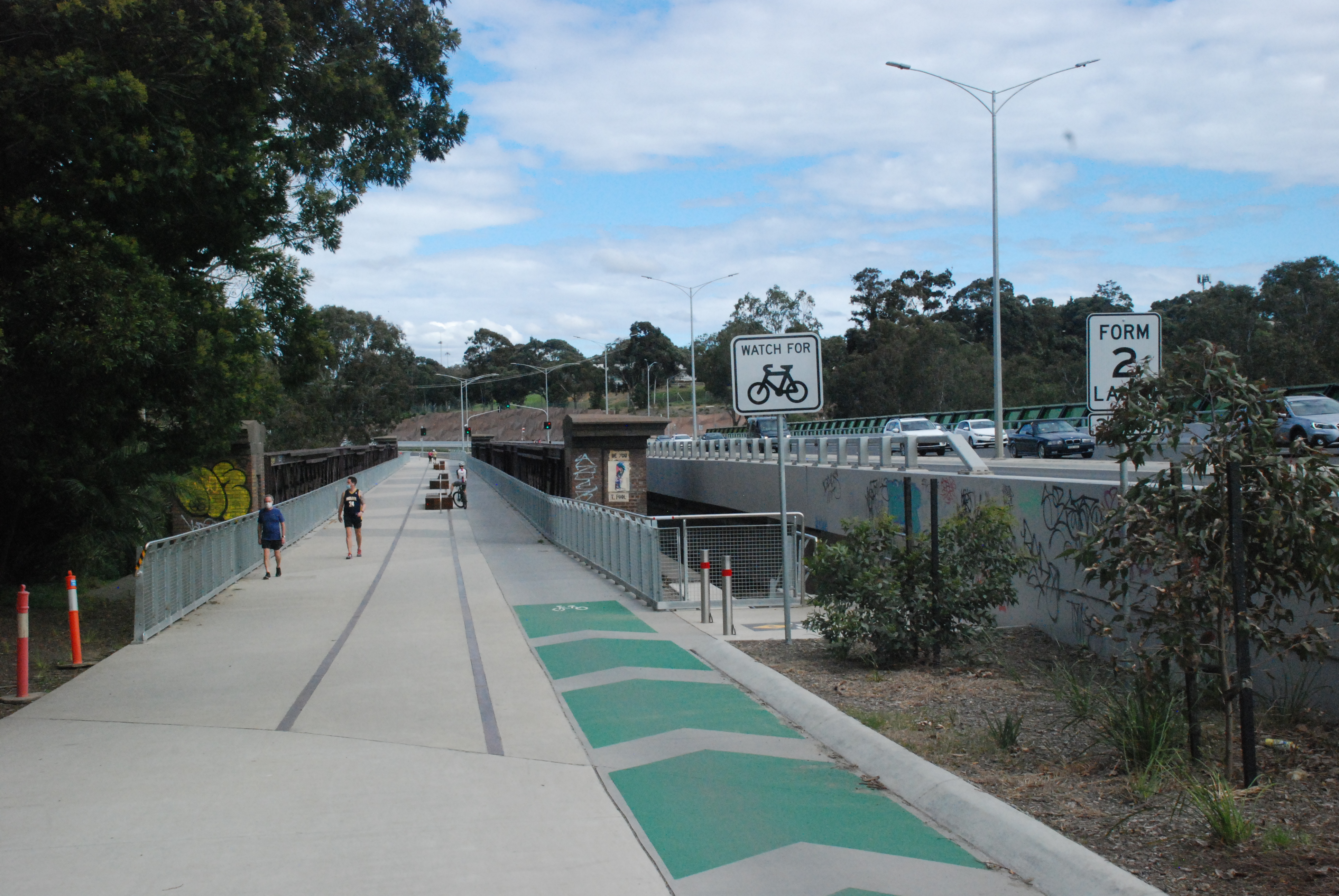
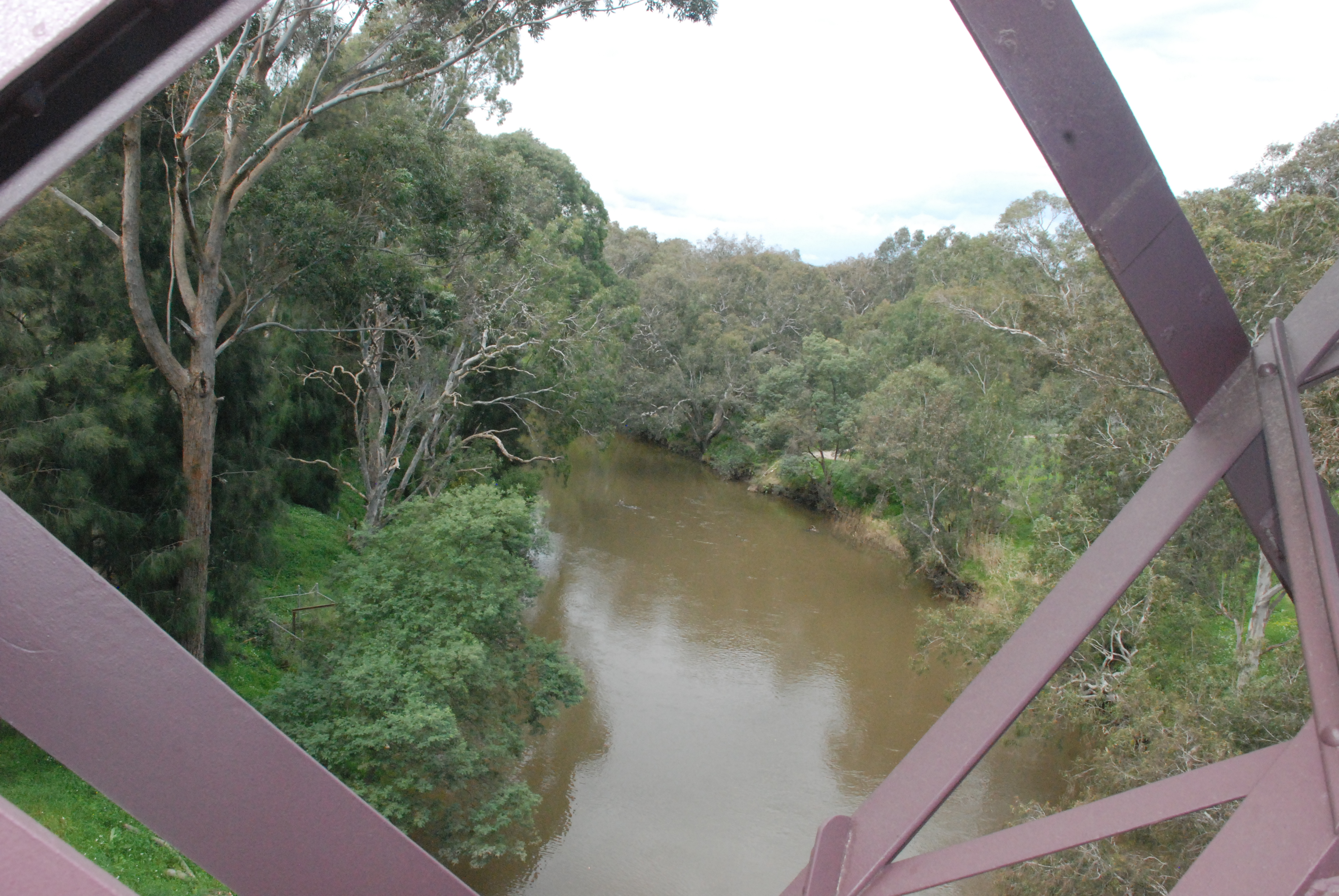
From the beginning of the walkway across the old Railway Bridge a steel stairway leads down to the Yarra. It begins just behind the bicycle sign on the right. From here paths run in both directions on the low side of the Yarra.

Chandler Highway that runs across the Chandler Bridge has a full length of less than 2 kilometers. It begins at Heidelberg Rd and ends 1.9 K later where it becomes Earl St. It lays a claim to being the shortest Highway in the world.

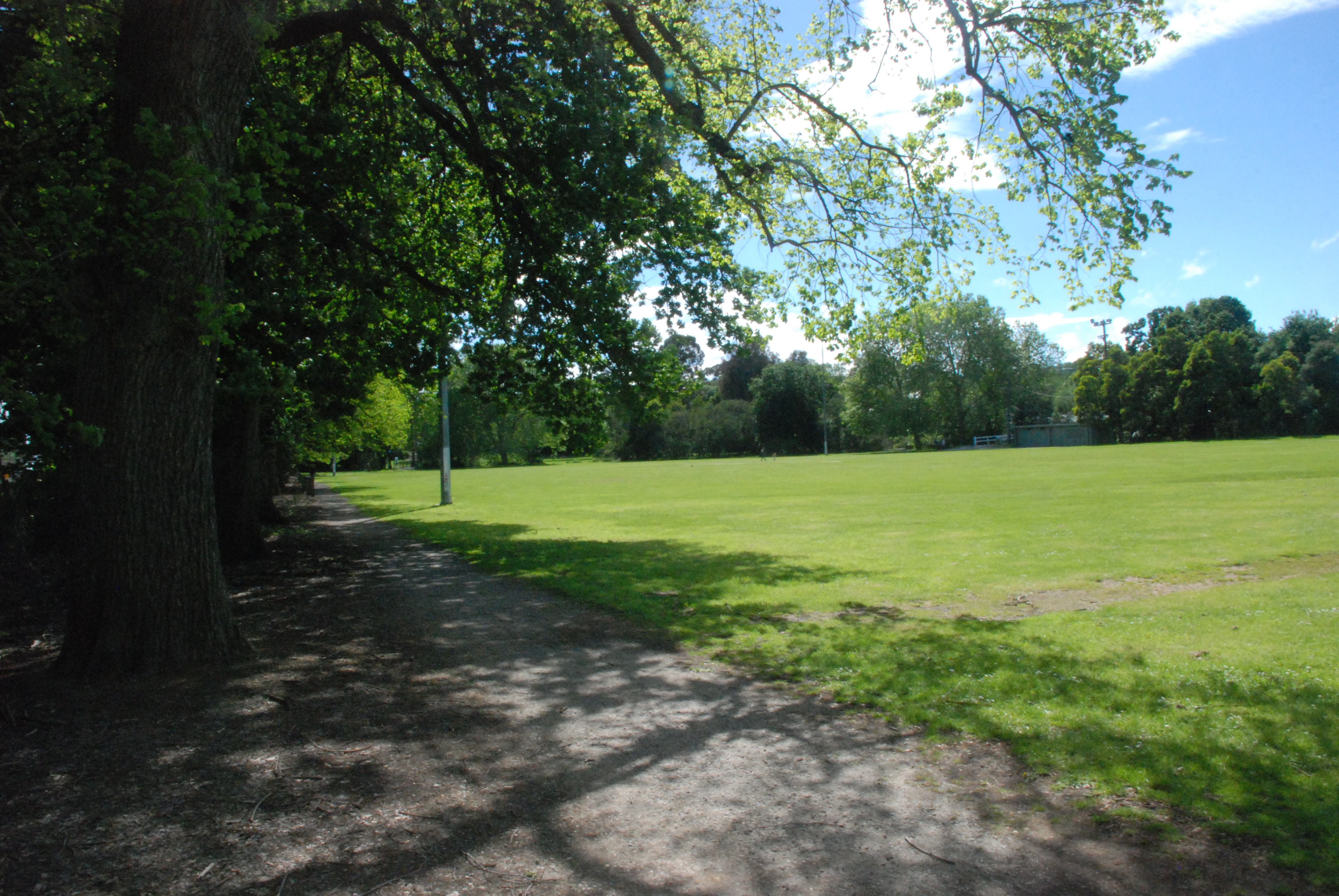
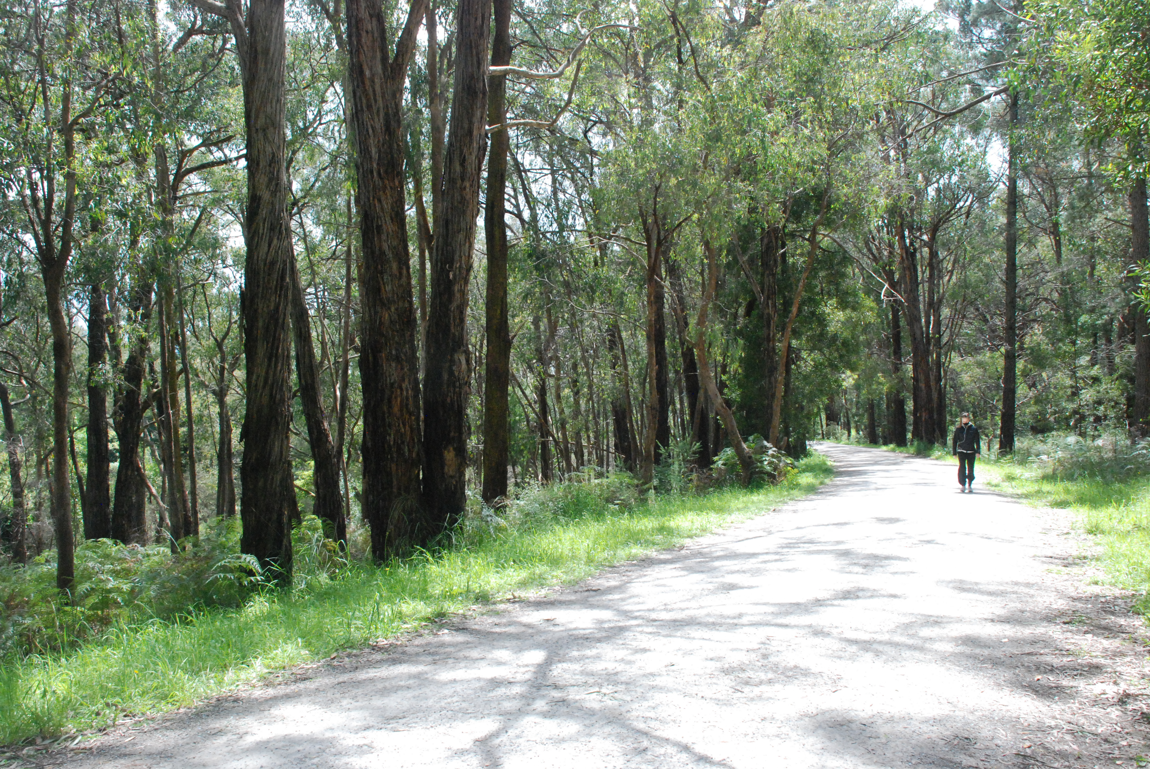
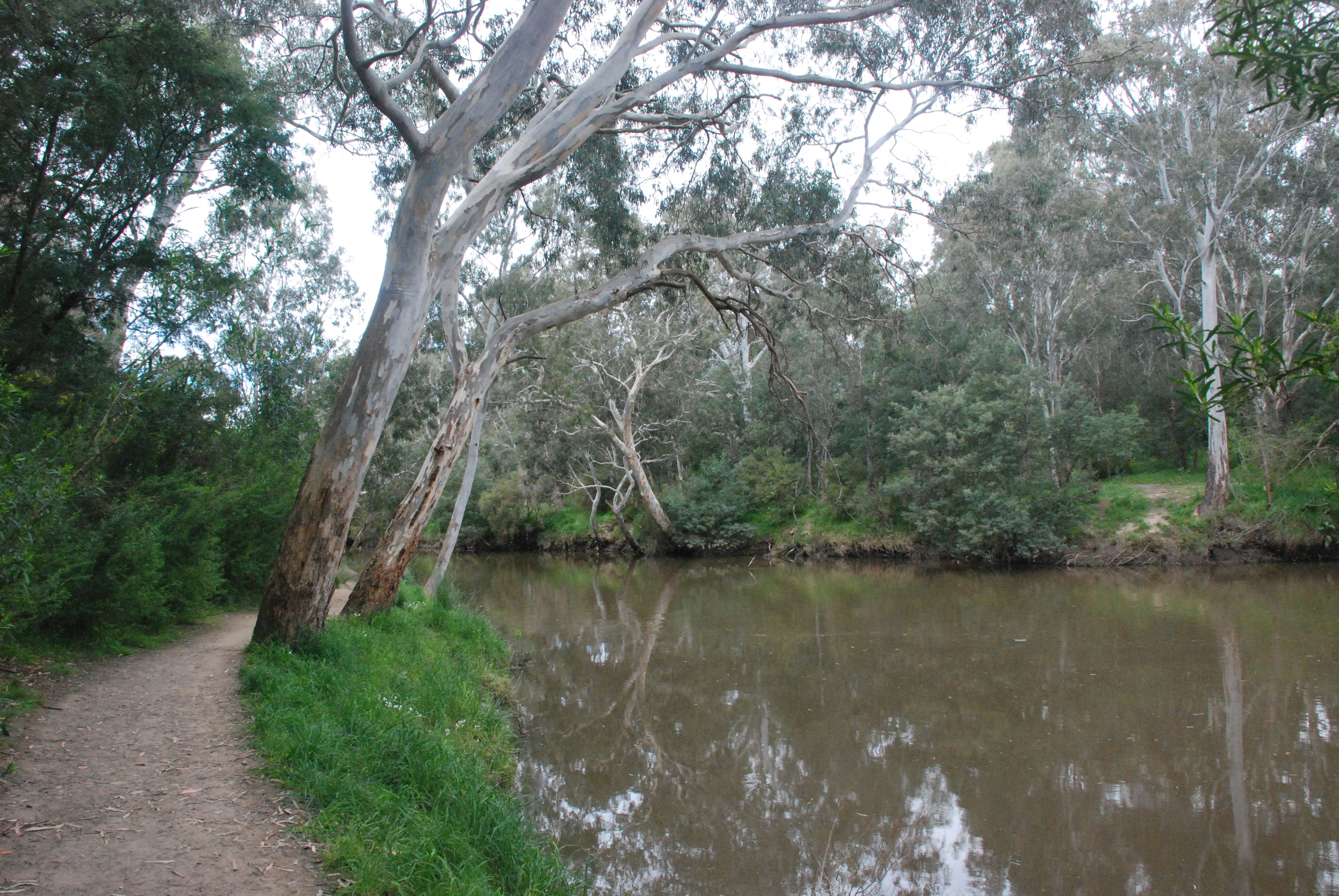
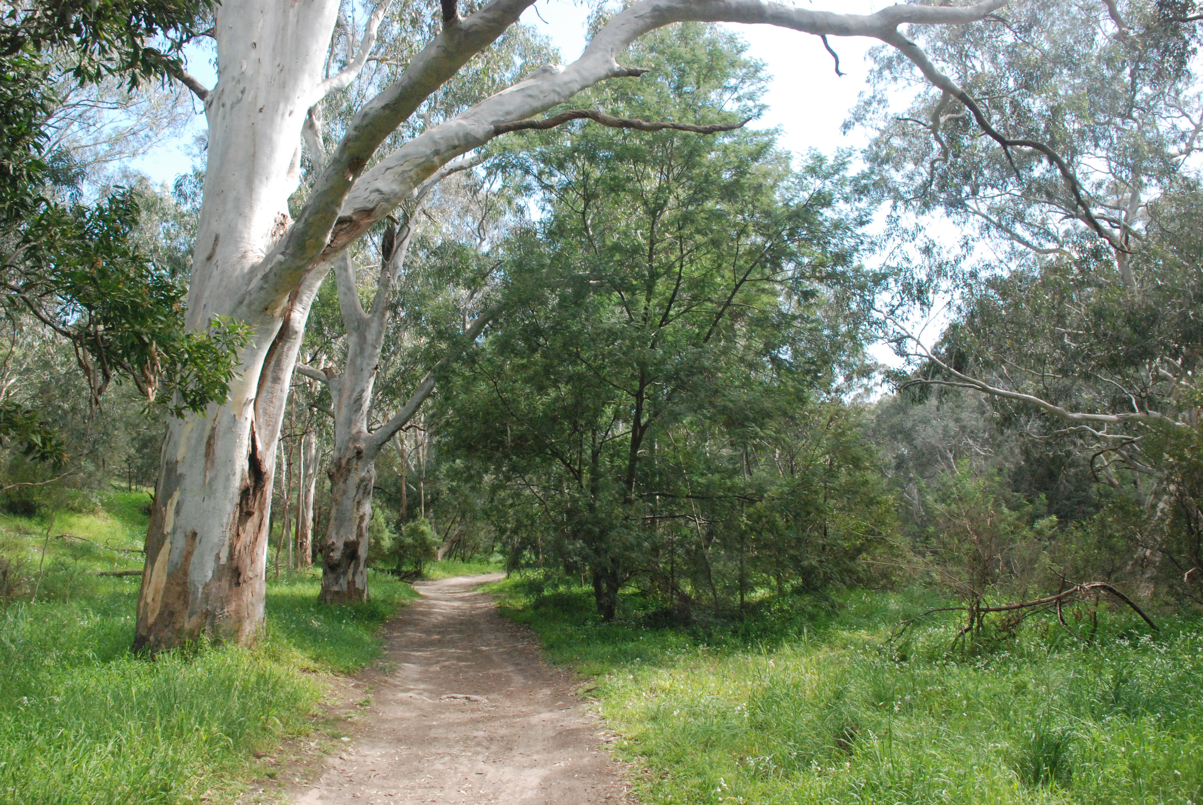
I turned right along the wide path that ran close to the river. It was a very picturesque and easy walk and seemed to be a favourite with runners.

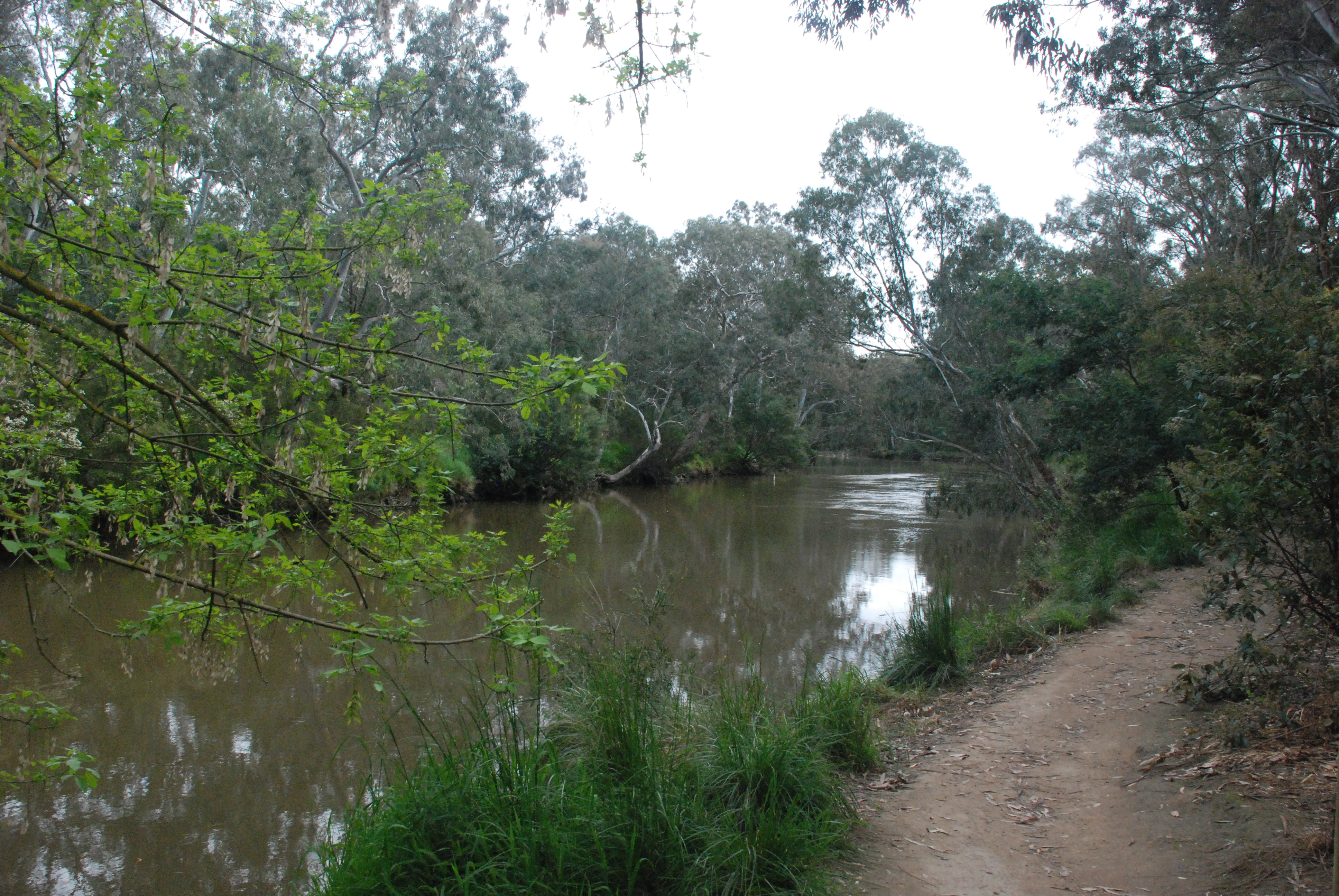
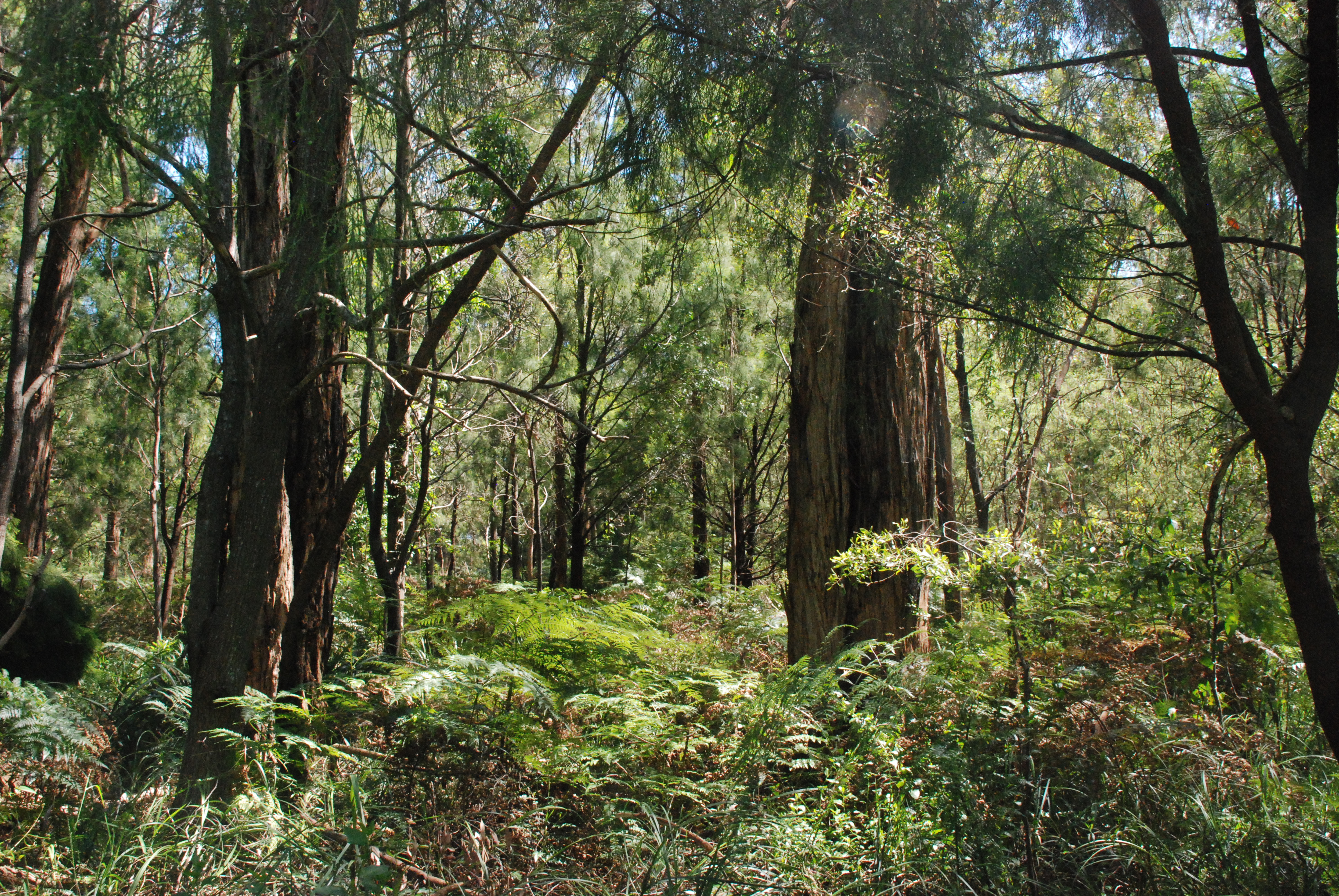
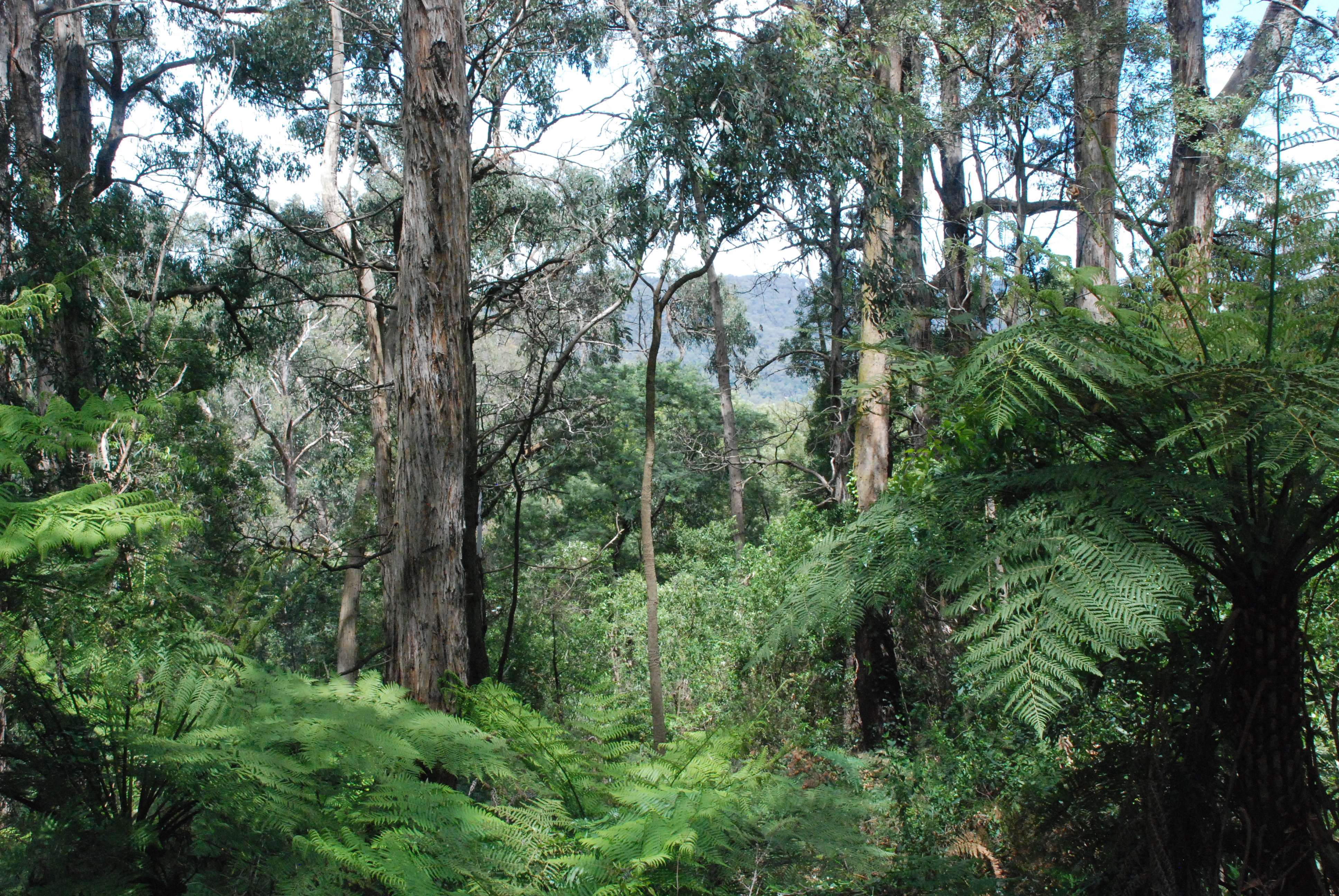
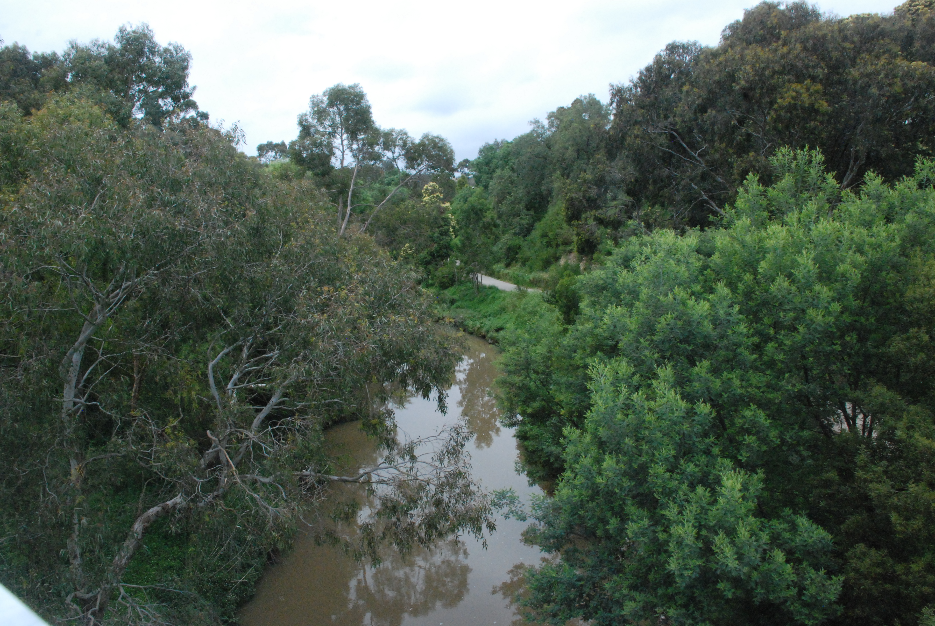
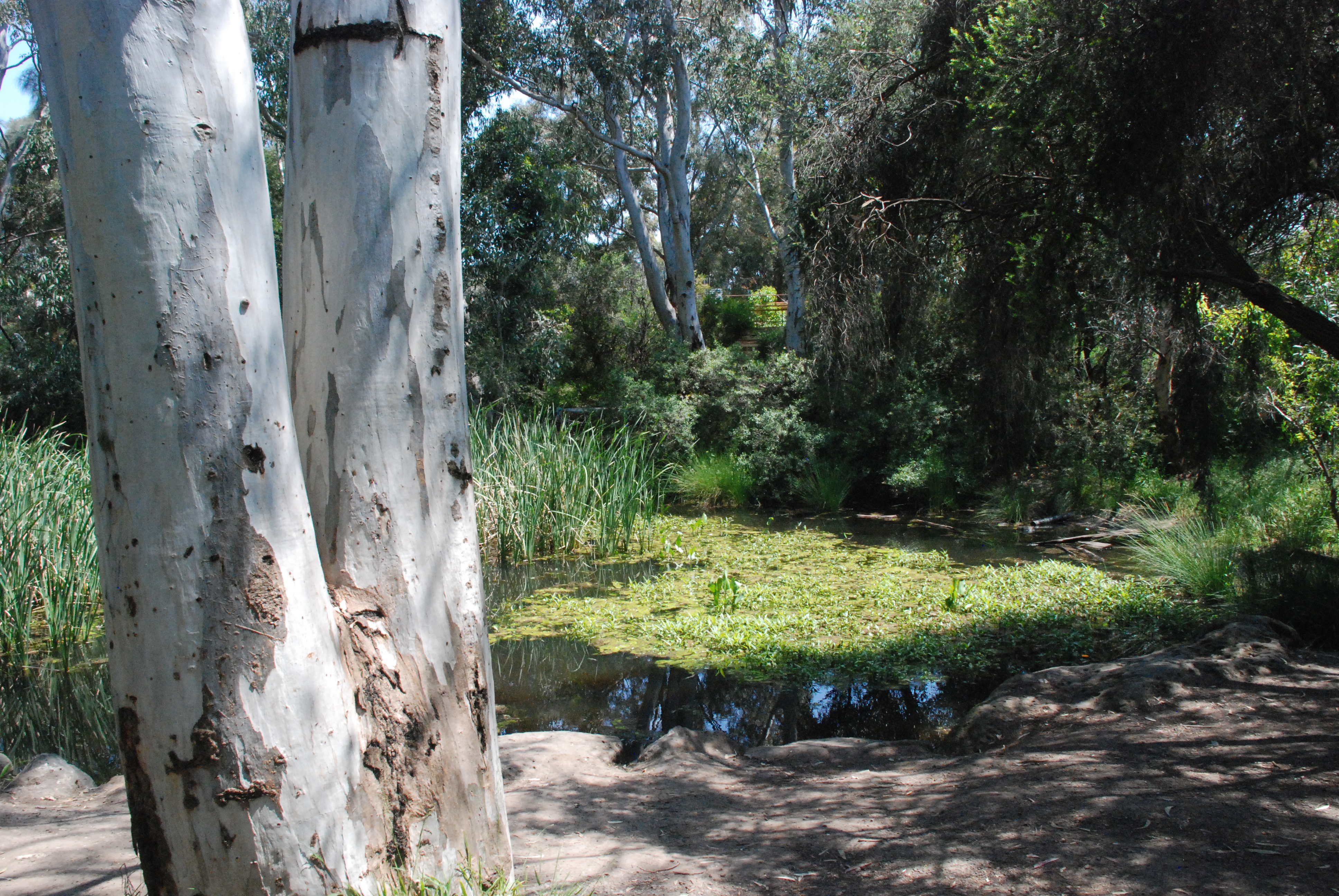
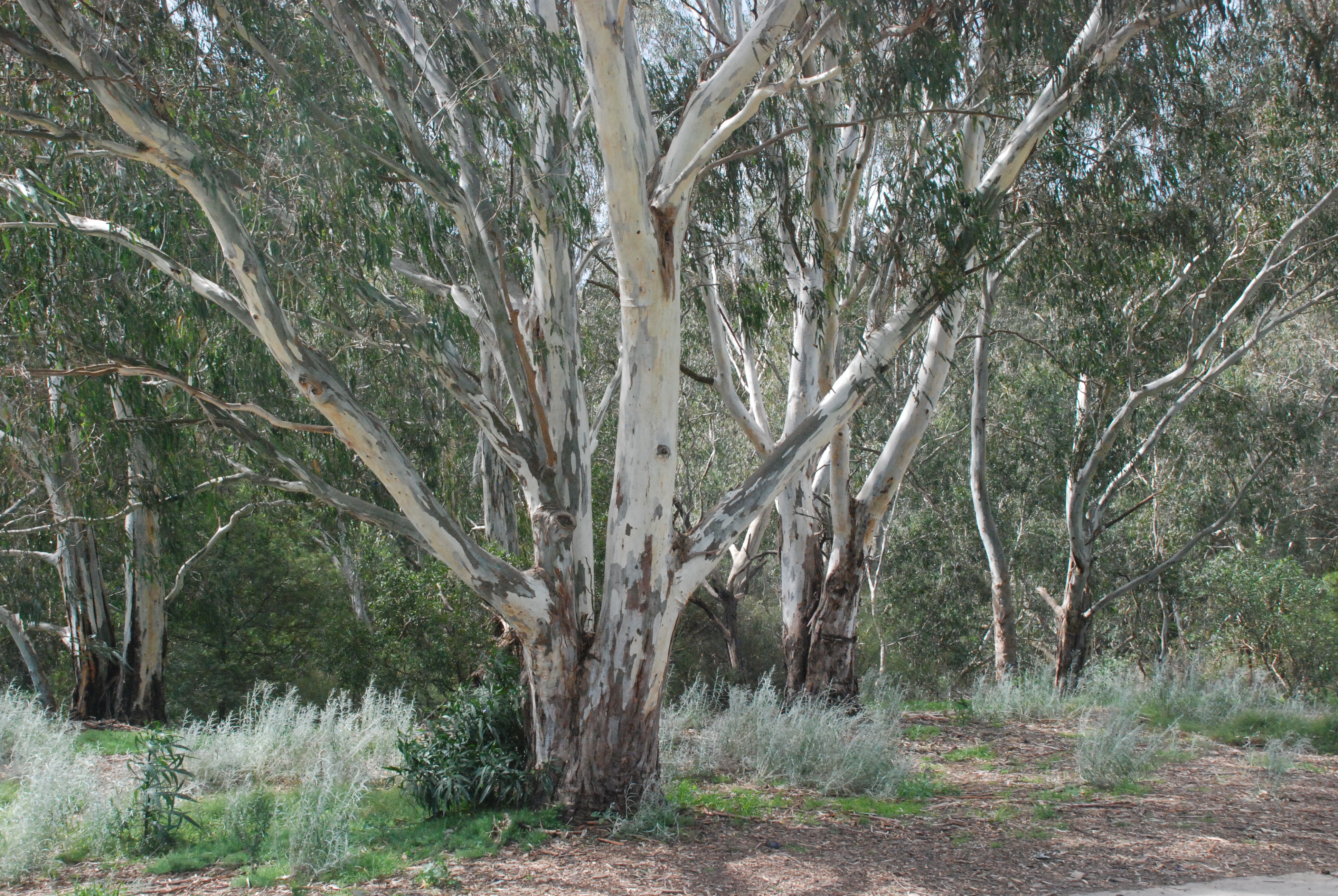
Beautiful gums edged the river

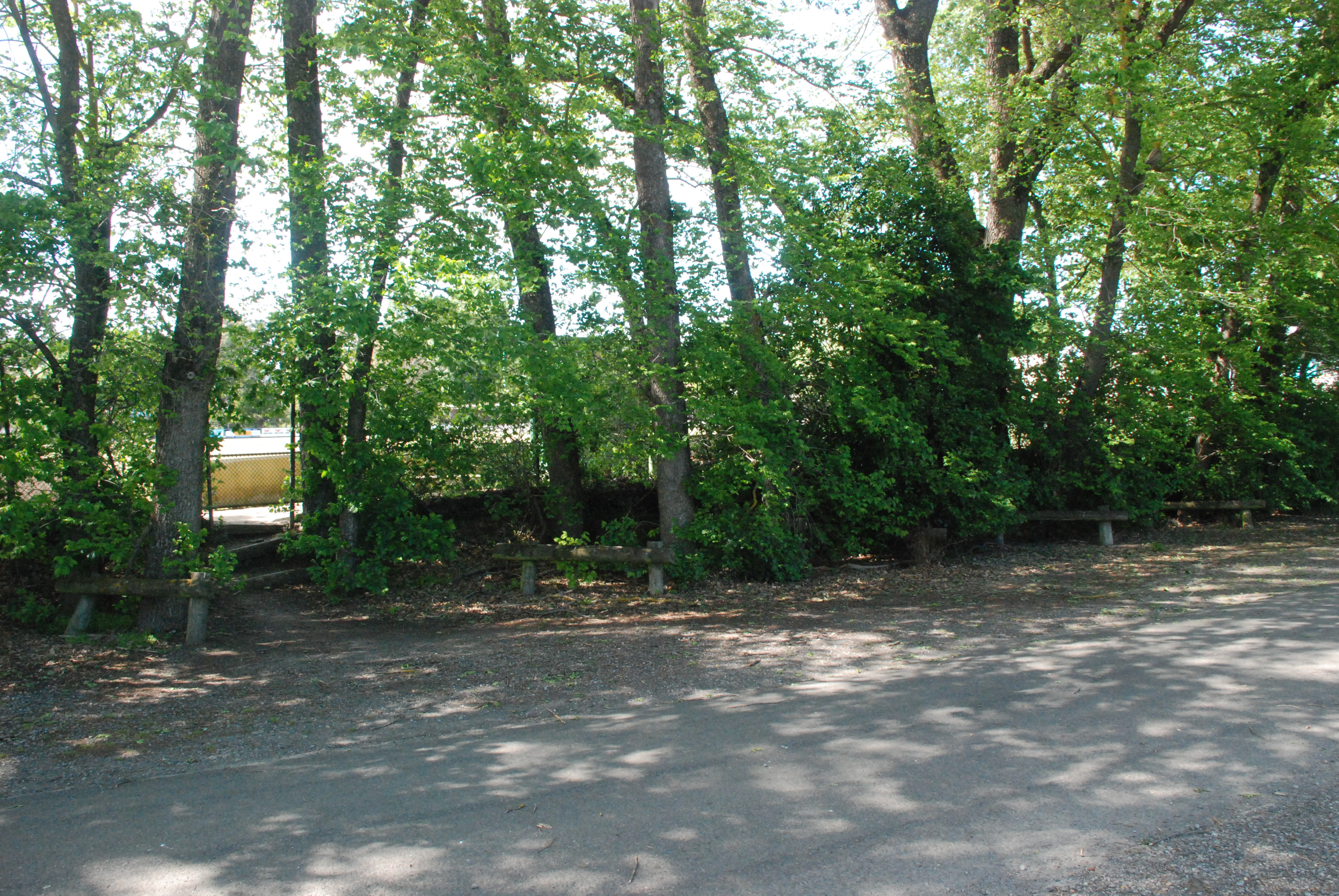
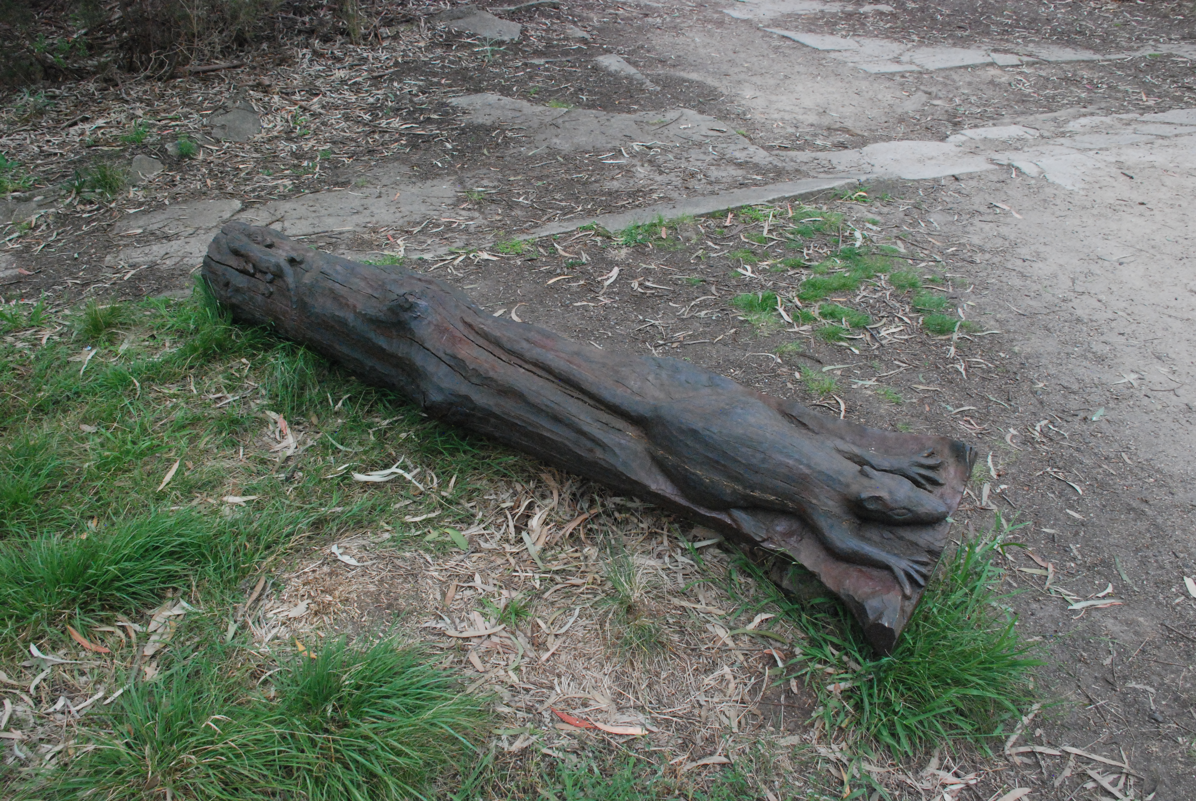
At the end of this short walk a small area with sculptures of native animals.

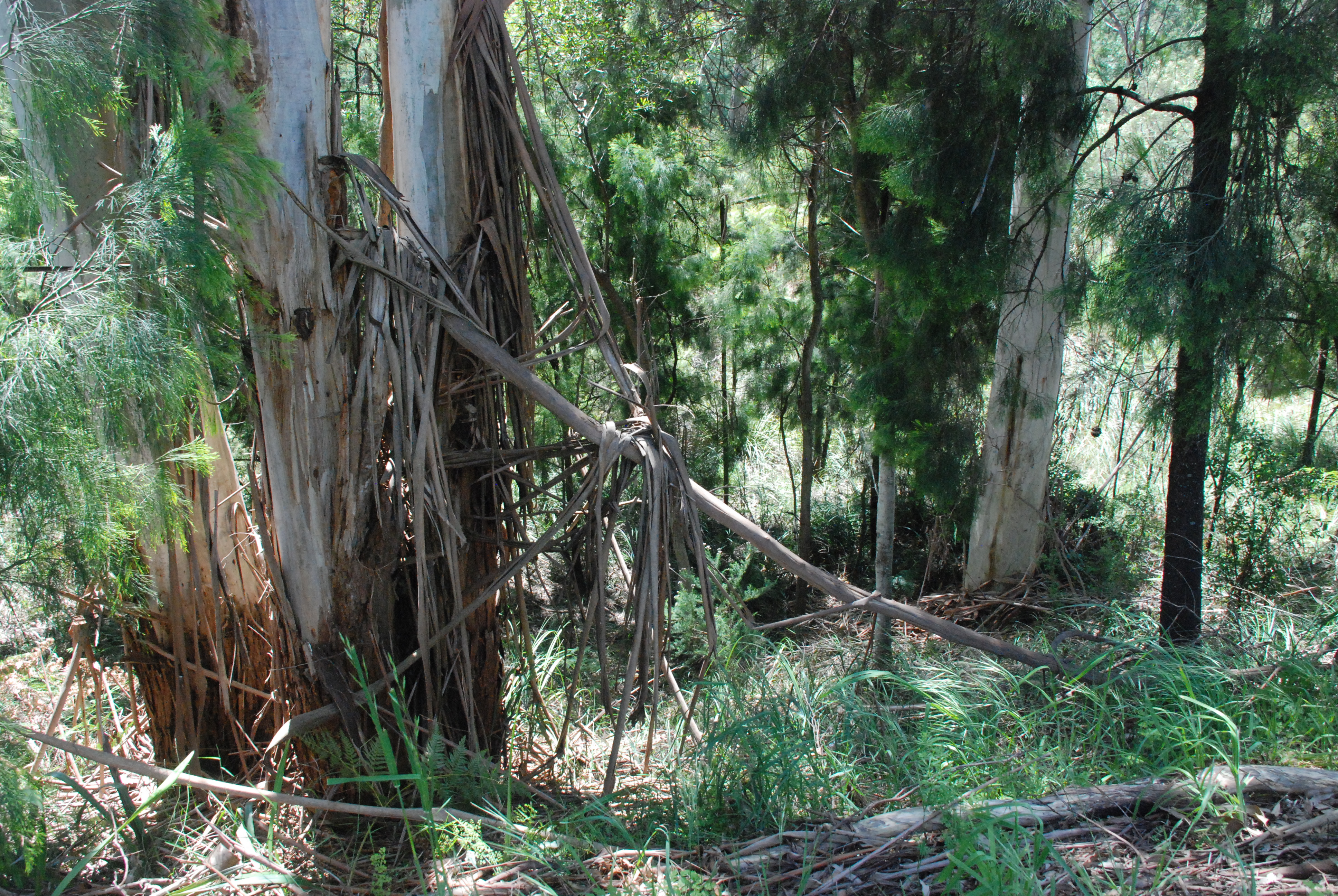
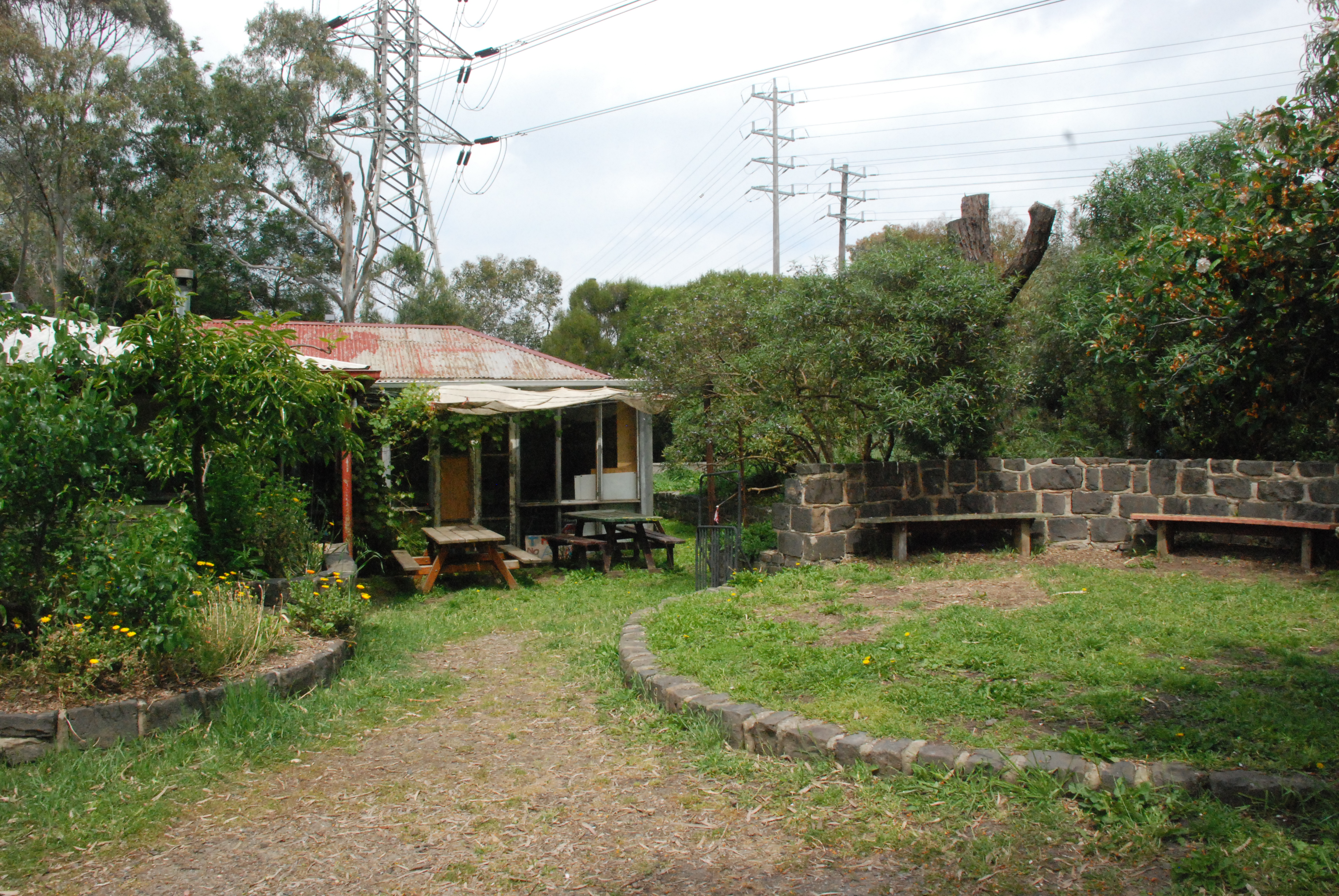
In among what appeared to be a small planting of native grasses a natural shelter.

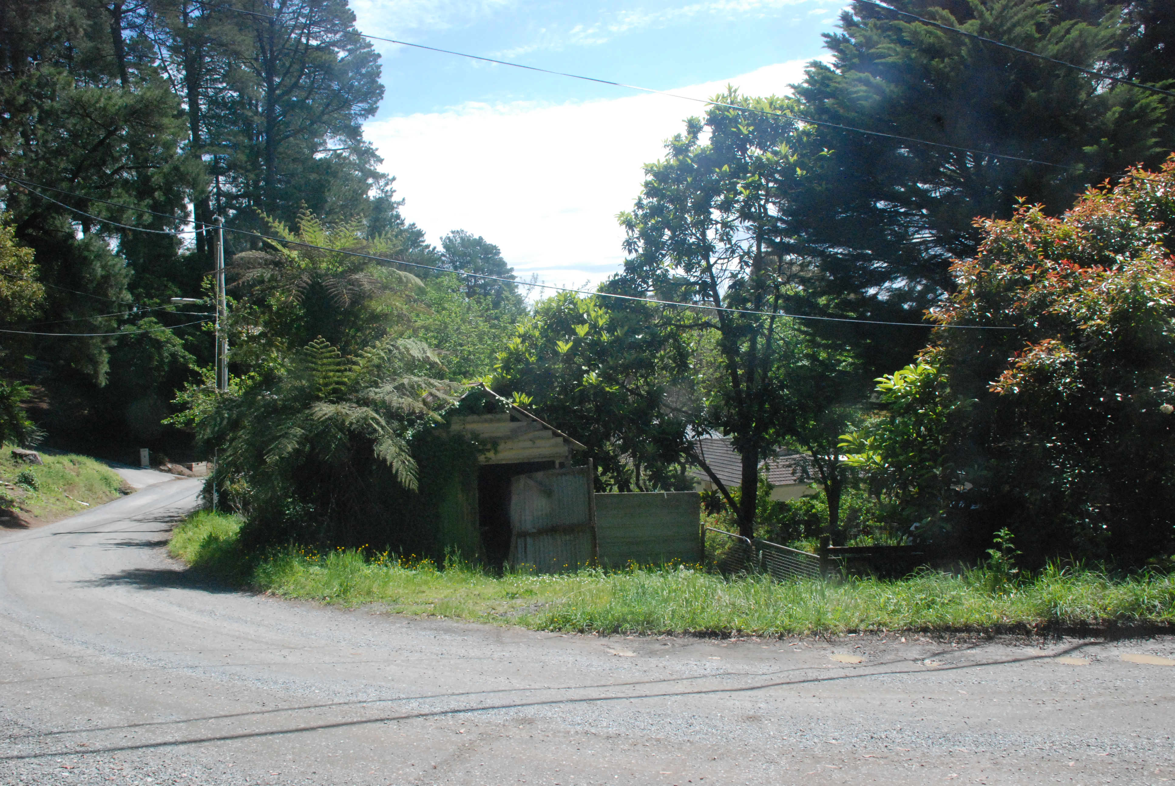
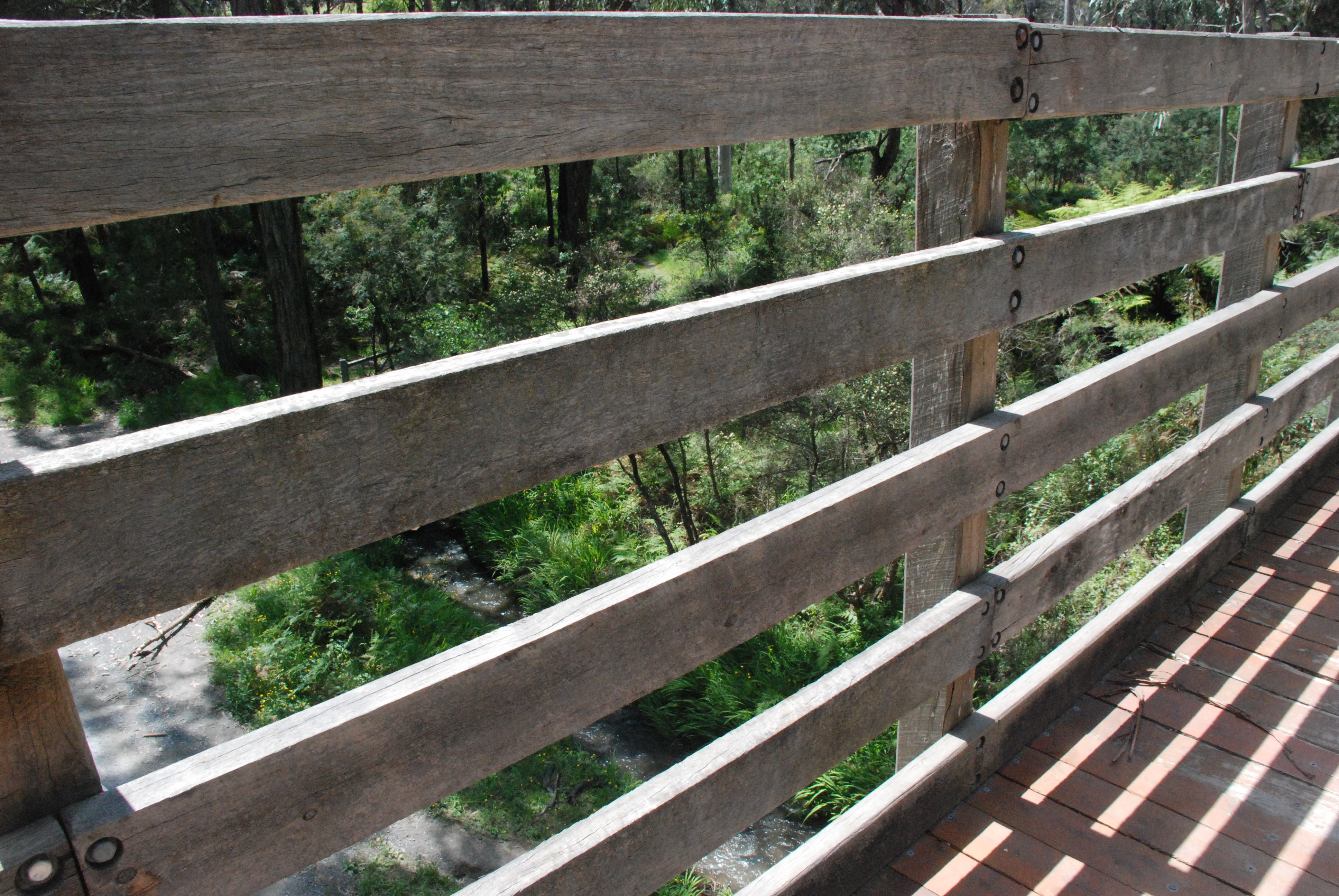
Returning back along the path to the Chandler Bridge gave me a different view of the walk.

The original Chandler Highway Bridge was completed in 1891. The supervising engineer was John Monash who later became Sir John Monash. The Railway bridge over the Yarra was completed in 1890 and formed part of the Outer Circuit Line. Once completed the bridge was considered at the time to be one of the most extravagant ever build by the government. It only operated for a short time with its total closure in 1927.

After crossing the bridge I walked to the left on the bike friendly steel walkway down to the Yarra Trail and turned back to the left to go under the bridge and walk along the high side of the Yarra River opposite the bank I had just walked.

The bridge with its beautiful red brickwork pillars is one of the few remaining 19th Century bridges in the Metropolitan area.

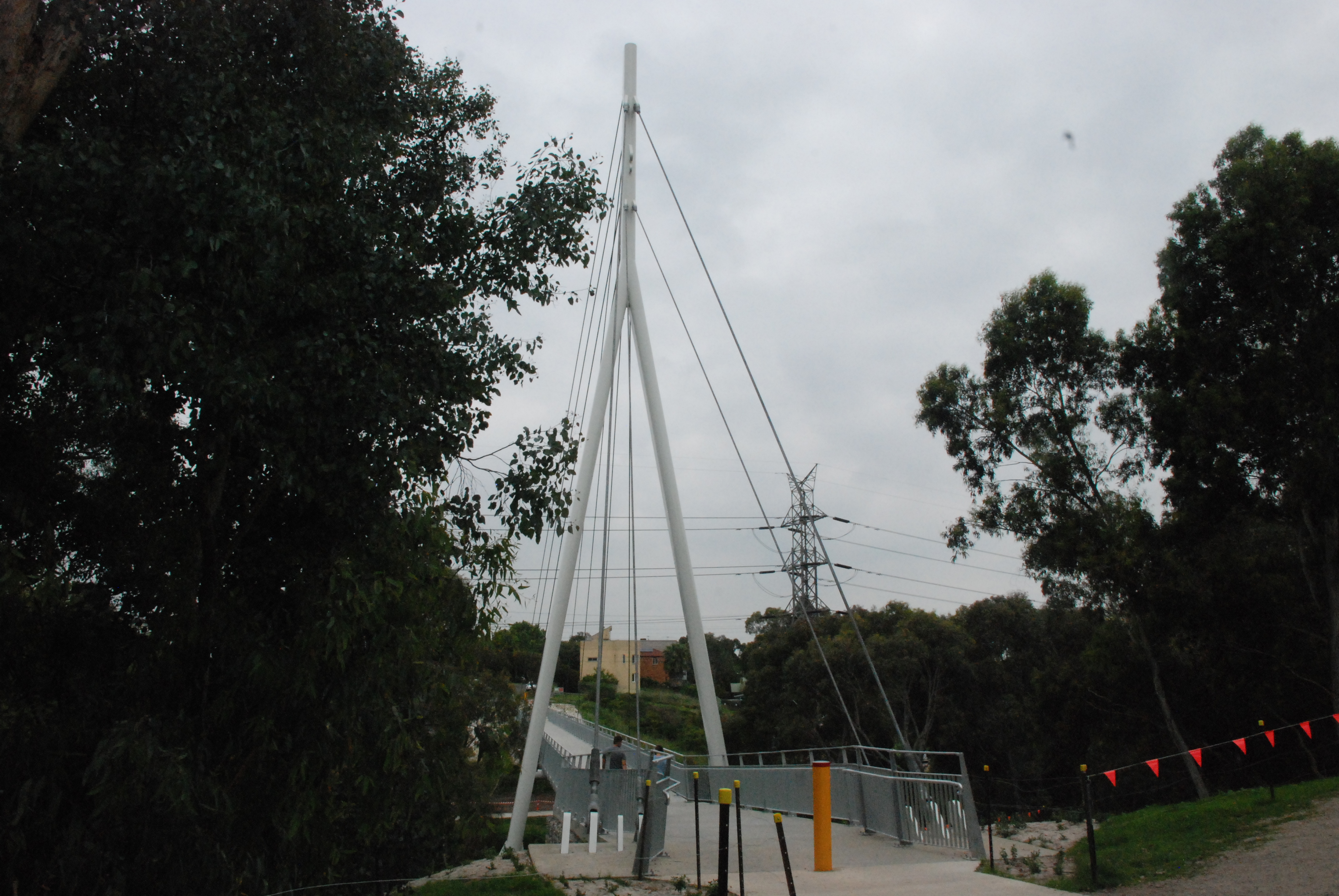
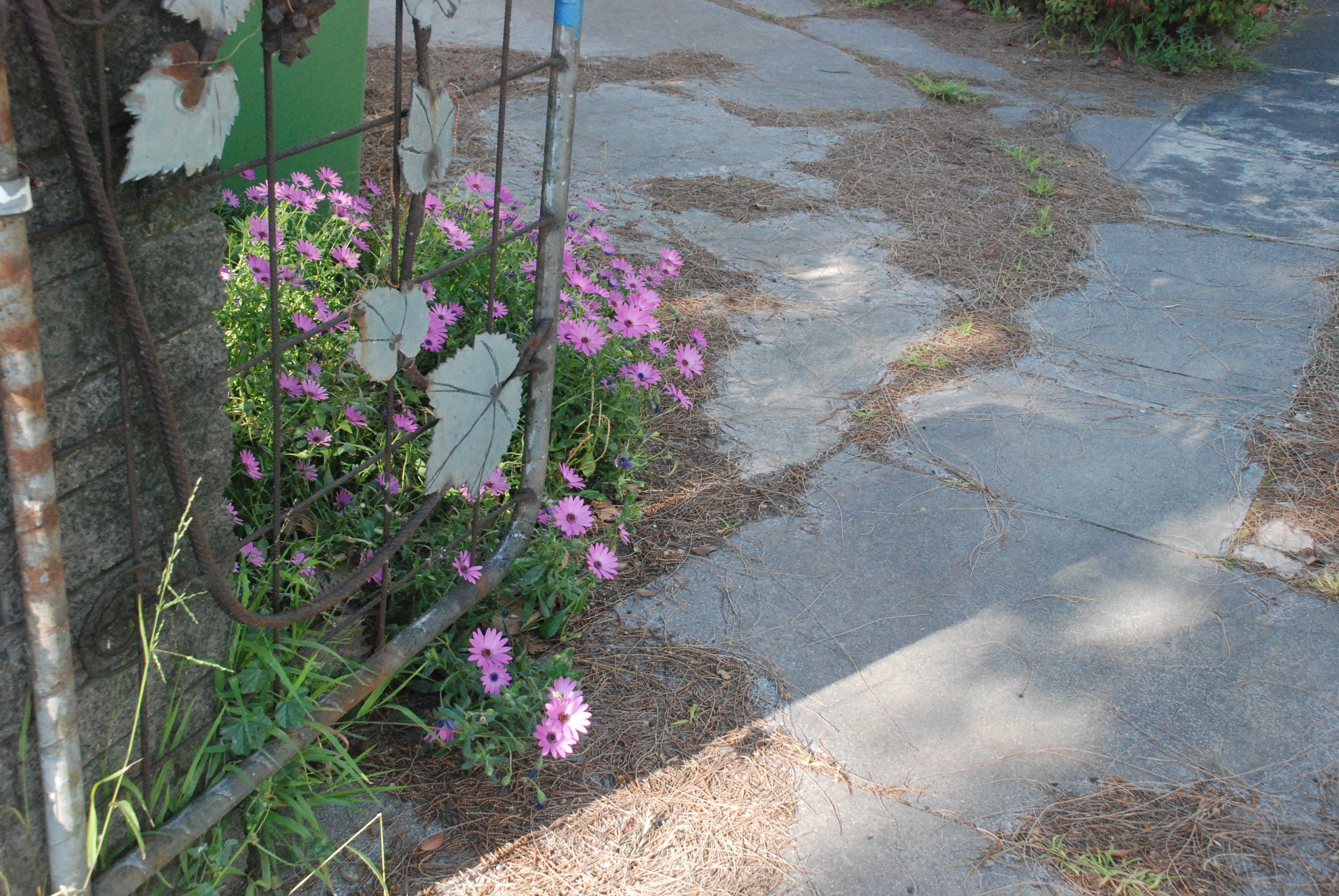
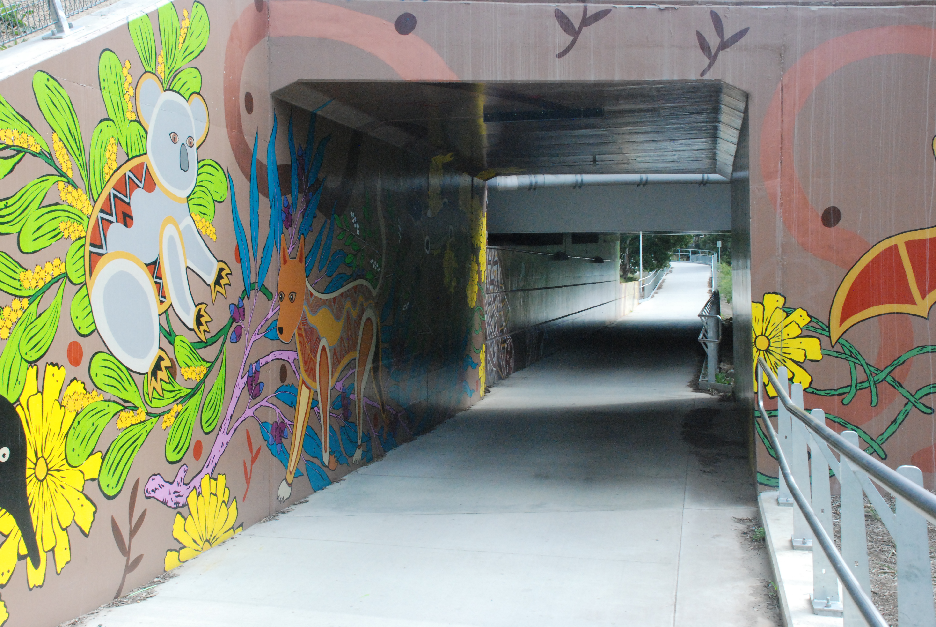
Artwork adorns the entrance of the tunnel under the new bridge and forms part of the Main Yarra Trail.

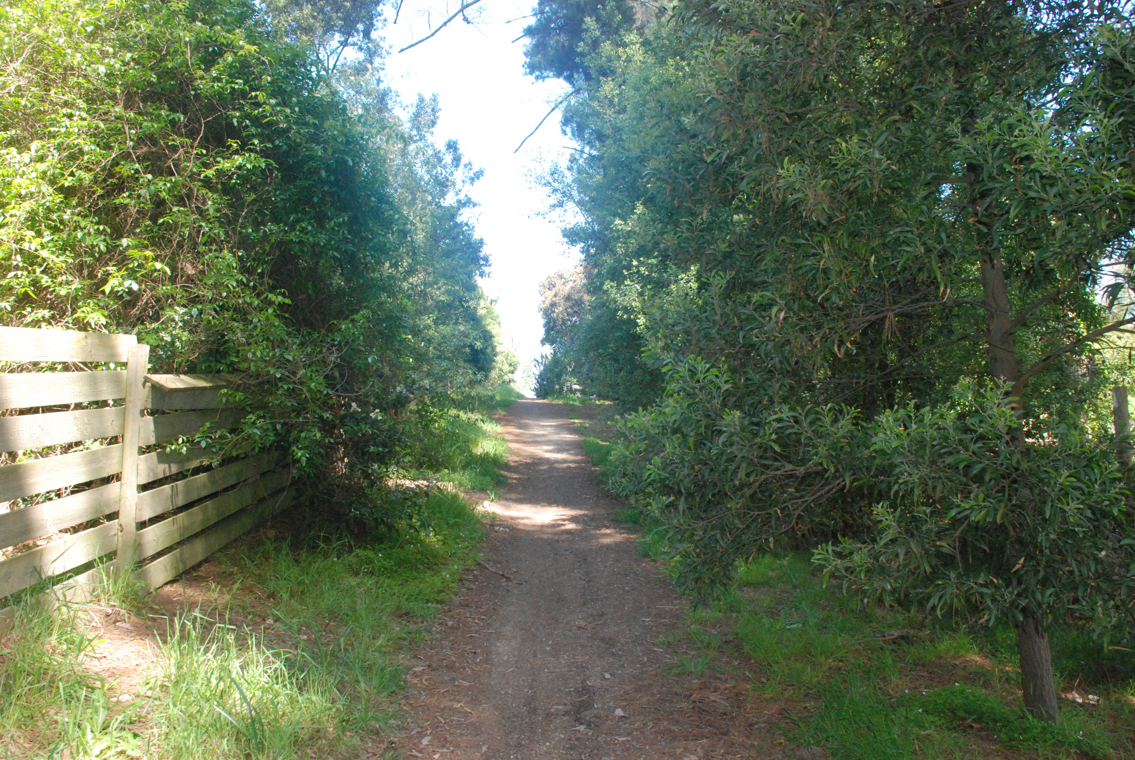
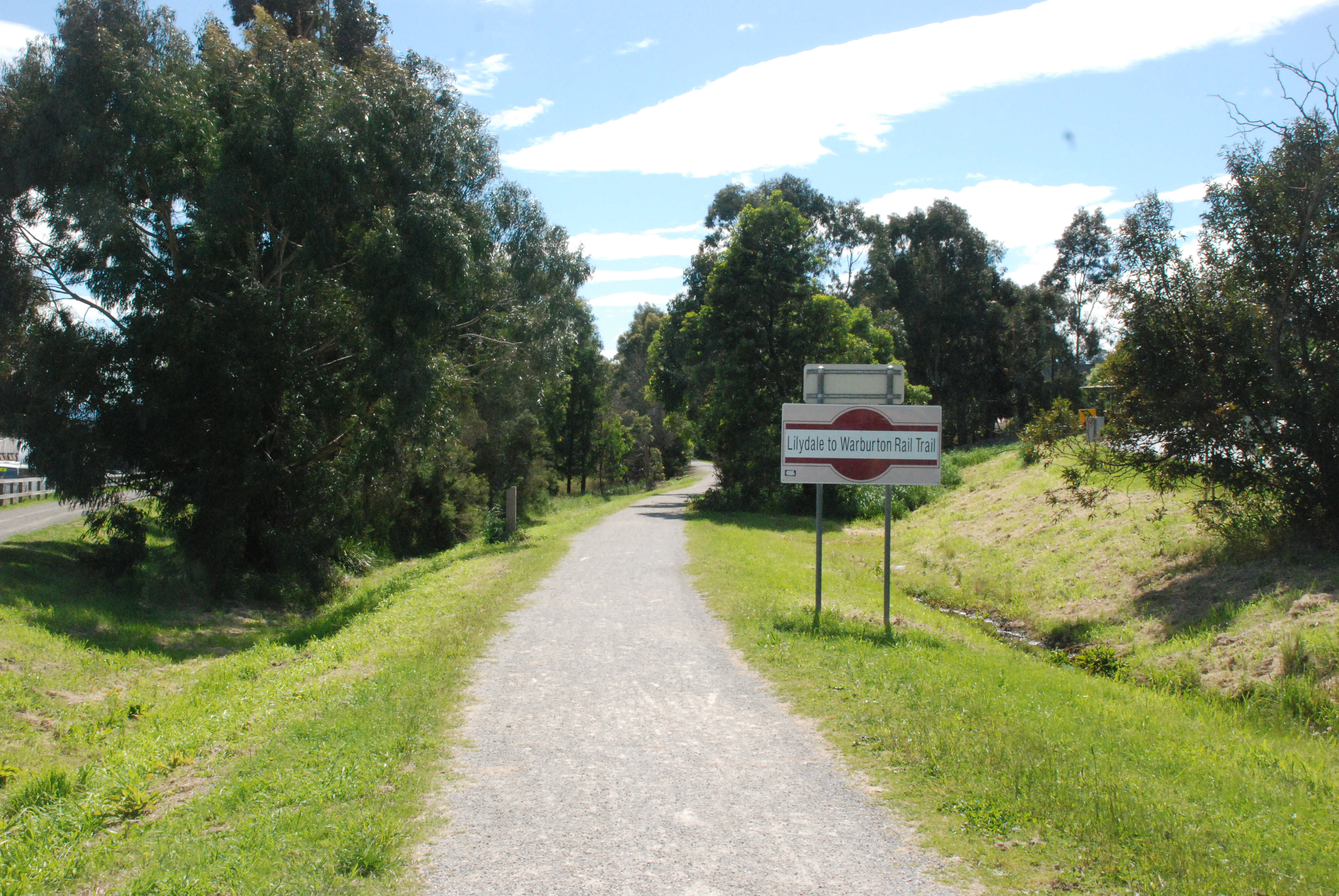
While the Main Yarra Trail runs for a distance along Yarra Boulevard there are two trails that run closer to the Yarra. I chose to walk on the trail that ran along the high side of the Yarra and at times along the cliff face. I wouldn’t recommend this trial in wet weather but today it was beautiful.

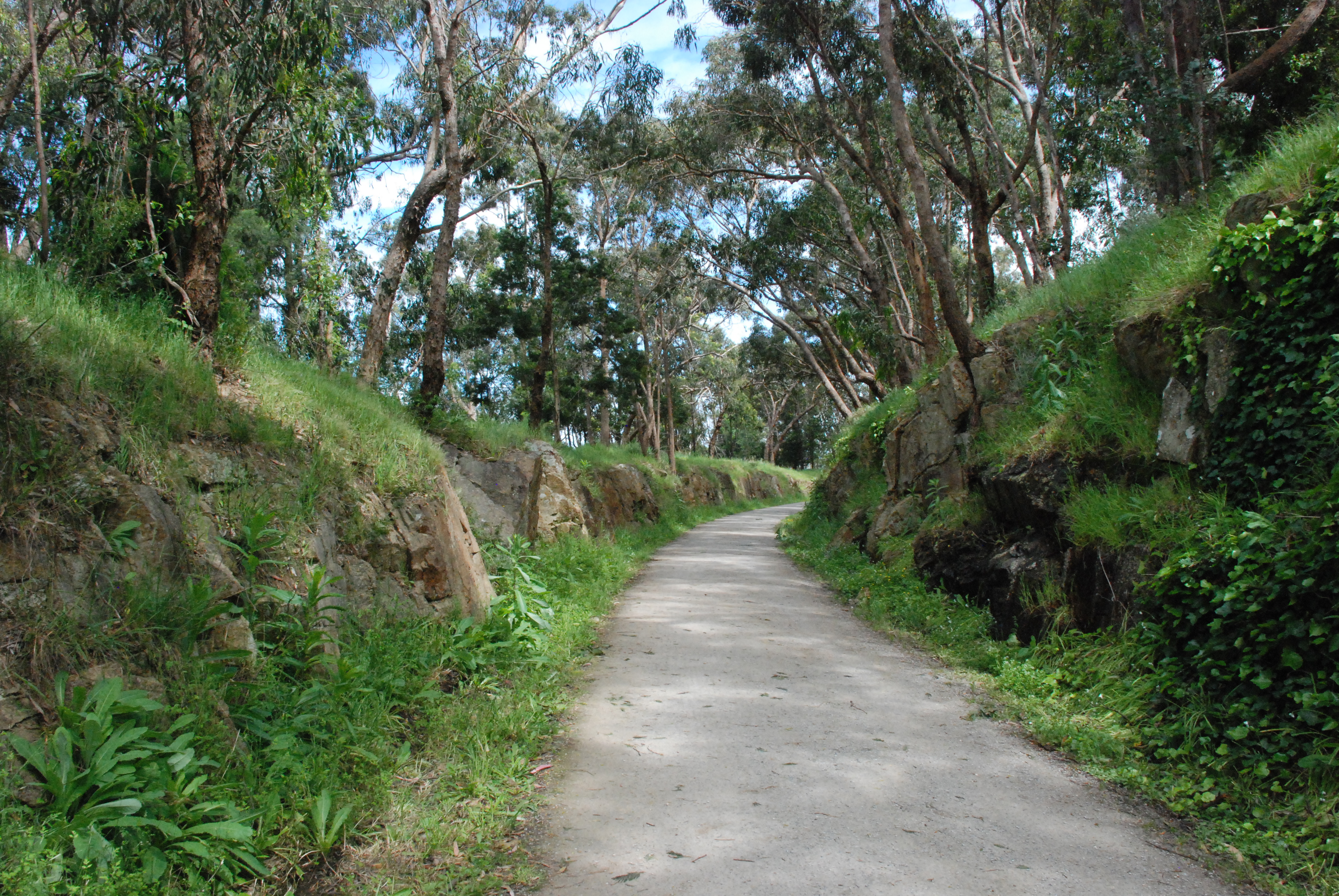
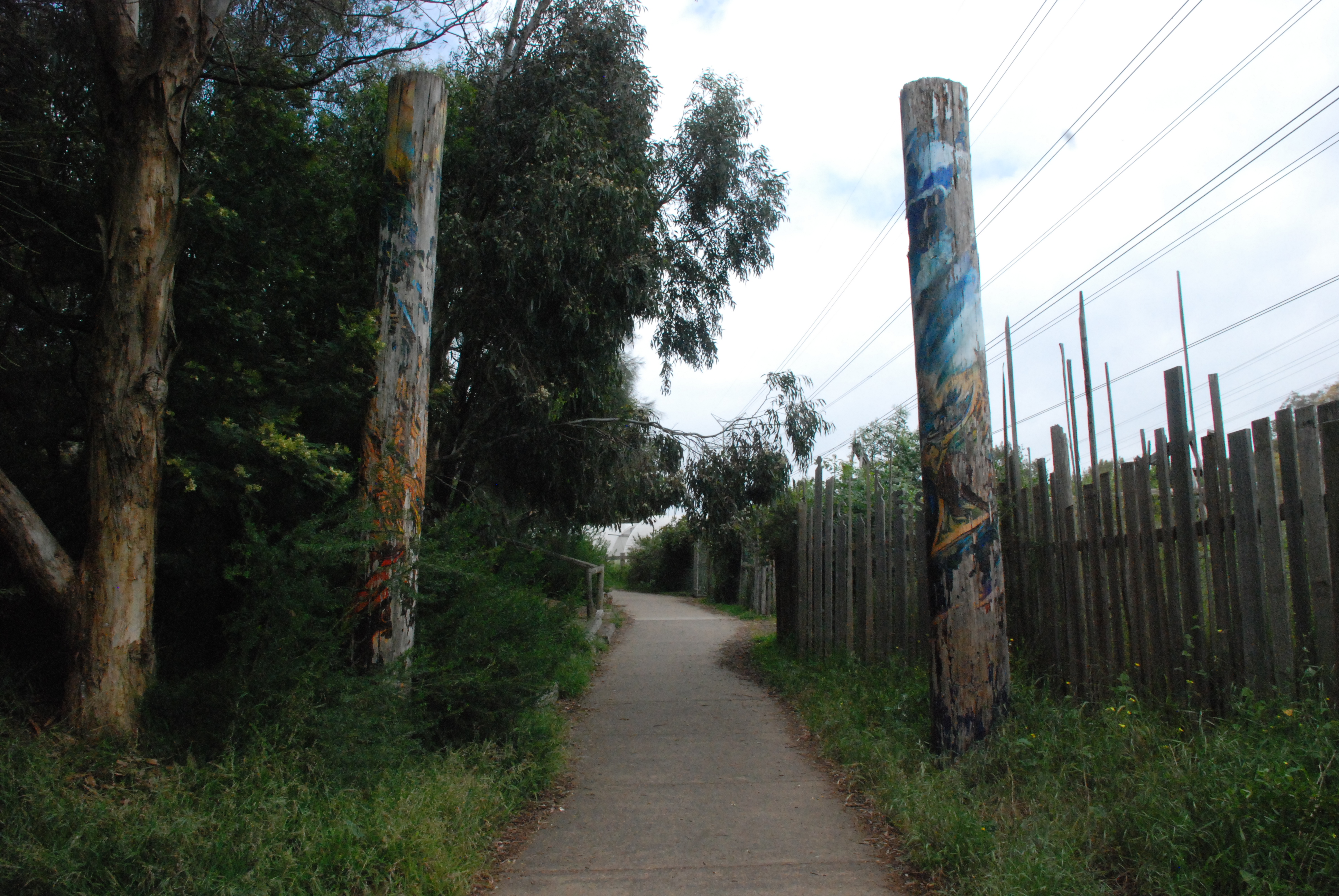
The trail started as a wide path but didn’t remain that way for long.

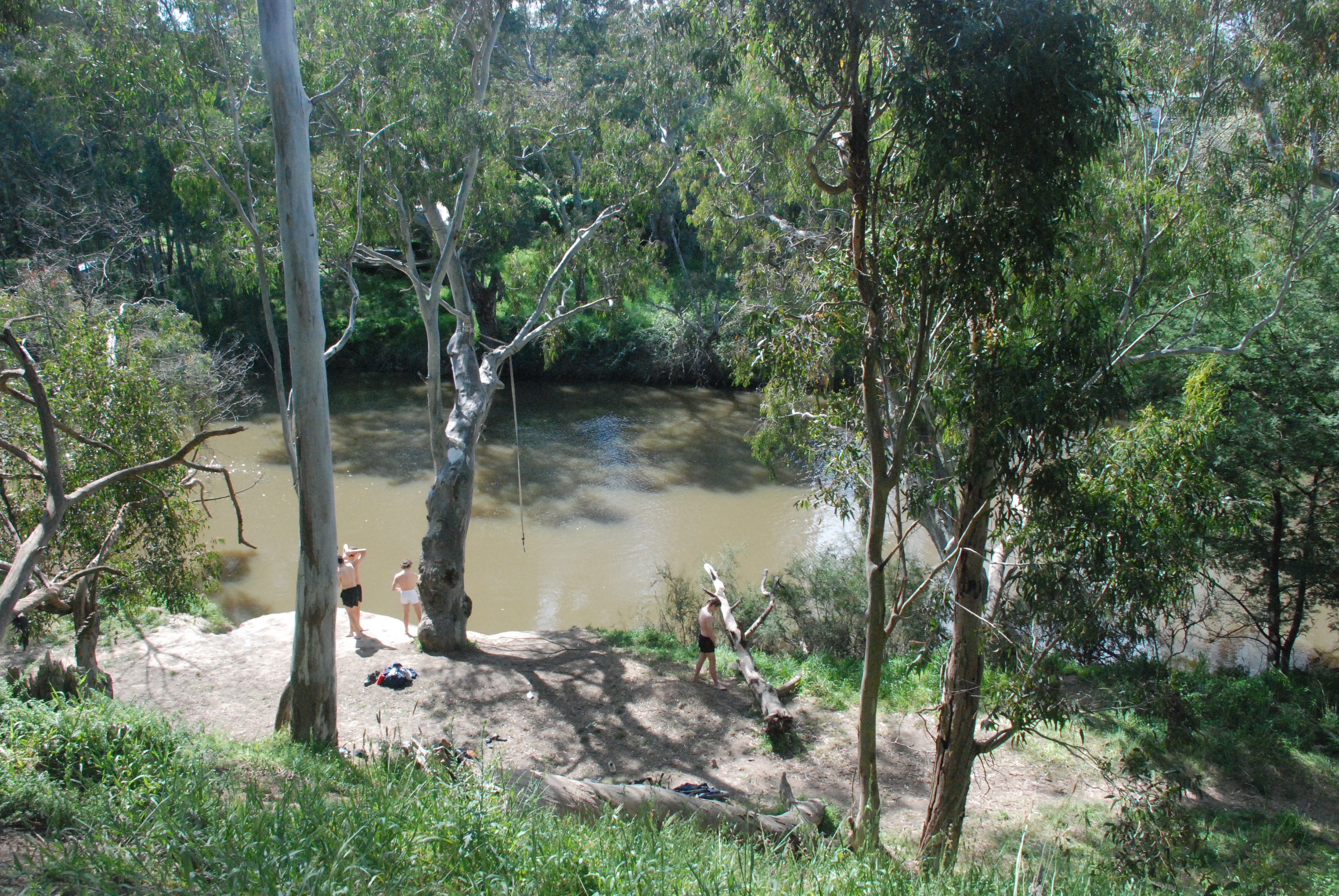
A group of teenagers enjoying a chilly dip.

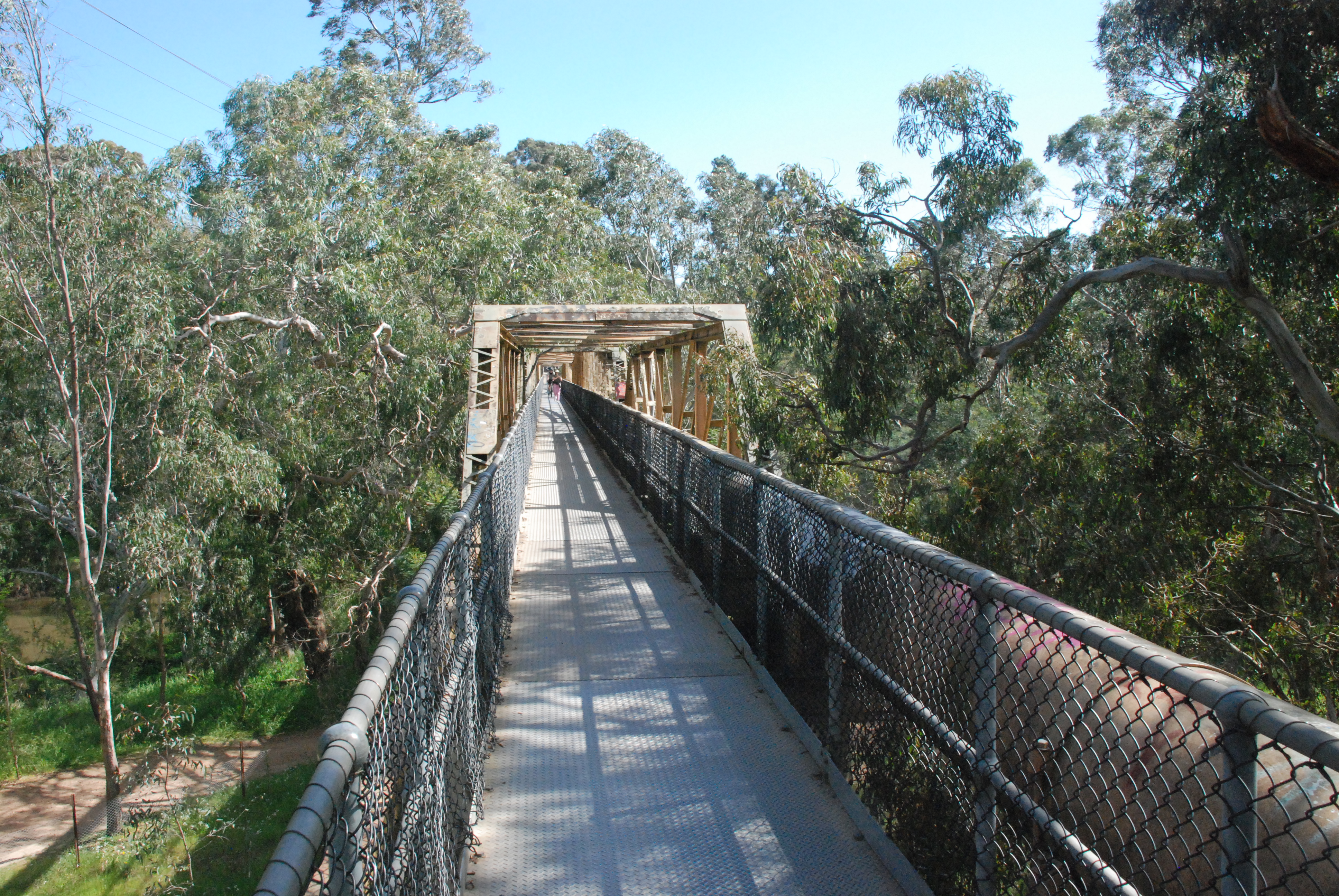
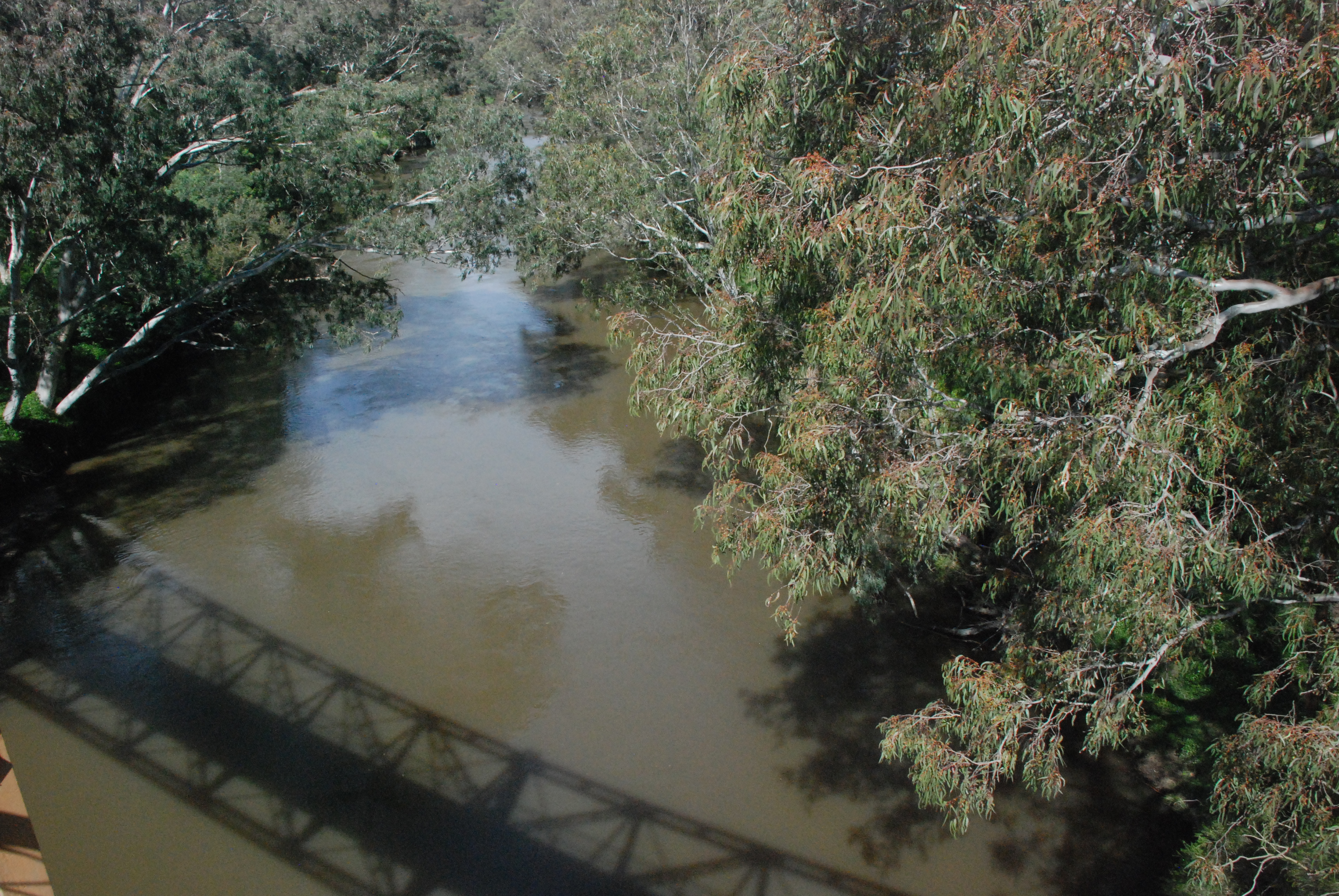
The original Fairfield Pipe Bridge was built in 1878 to carry water from the Yan Yean Reservoir to Kew. It was washed away in the floods of 1934 and replaced by the bridge now standing. The original pylons which remained after the flood have been demolished so no trace of the original bridge remains. This narrow bridge is for foot traffic only.

And this is where my intended walk went wrong. Forgetting that I needed to cross the bridge for my return journey home I walked it length and back again. The hand drawn map that I had with me, in the end was of no use. I followed the Main Yarra Trail back up along a road but I didn’t know where I was. I was then totally stunned when I realised that I was back at the Chandler Highway Bridge. Oh well at least I was no longer lost.

Home again this time via Grange Rd and Darebin Rd for a total of 15 kilometers. A nice day out.

General

Fairfield Boathouse

Zig zagging through local streets is a favourite journey of mine. There is always something unexpected to find. Starting from home today with David in tow we walked the local streets to the Fairfield Boathouse. This amazing front yard is totally photo worthy.

We walked through Johnson Park

which was in full colour and on a perfect sunny day full of activity.

The lawns were lush and green with scatter rugs of dandelions. I was tempted to stop and make a daisy chain like the ones made during the idle summer days of my childhood.

After reluctantly leaving Johnson Park it wasn’t long till we crossed over Heidelberg Rd and turning left we came to Fairfield Park and playground.

Down through the park with paths and steps of bluestone

we were led down towards the Yarra River.

We passed the Amphitheatre which to my astonishment was built in 1985. It looks so much older. It was designed to hold 500 and modelled on the Epidavros Theatre in Southern Greece. Bluestone rescued from Northcote gutters and laneways was used to build the theatre, hence giving the theatre its centuries old look.

Continuing on down we arrived at the Fairfield Boathouse and Tea Rooms. The Fairfield Boathouse has an interesting history. It was built in 1908. When John St Clair originally decided to build the boathouse he had to obtain approval from the Yarra Bend Hospital for the Insane as the site of the boatshed was to be built on their grounds. In 1915 after several troubled years with Crown Bailiffs over building permits the Heidelberg Council bought him out. Canoe carnivals and open air carnivals were common in Fairfield until the 1950’s when boating popularity declined. The building became derelict and during the 1980’s it became a home for squatters and possums. In 1985 Paul Van Der Sluy won the tender to restore the boathouse. It took 30,000 hours of meticulous work to rebuilt and restore it to what it is today. A step back in History.

Continuing on after a leisurely coffee at the tea house

we crossed across the pipe bridge where I had a week or so ago had my major oops moment.

Looking back at the Fairfield Boathouse from the Pipe Bridge

we walked towards the Chandler Rd Bridge for our return journey. This time we took the middle path with the Yarra visible for most of the walk. After a bit of rain the track which is very popular with mountain bike riders was slushy and slippery often with large puddles of muddy water.

After crossing back over the Chandler Bridge we took a diversion once again through the local streets. The local streets in Fairfield were alive with colour.

and old world charm

Our leisurely walk, 11 kilometres for the day.

General

Mt Evelyn Aqueduct Trail

From my home it is not far to the start of the Mt Evelyn Aqueduct Trail. The trail begins behind the bus stop near 246 Swansea Rd. It begins with a huge uphill climb, over a rough unmade track that looks like it doubles as a fire break. The trail is a 7 kilometer walk so I thought it would make for a nice 14 kilometer return walk. This is the full distance of the walk from Swansea Rd, Mt Evelyn to Hunter Rd, Silvan. Starting at Swansea Rd the first 200 meters uphill to Johns Crescent feels a lot further.

looking back from Johns Crescent at the climb up from Swansea Rd and over Commercial Rd

Crossing over Johns Crescent the path through to West Hill Drive becomes a bitumen path and the stroll uphill gentle. There are green Yarra Ranges signs showing the path of the trail along its full length.

Once over West Hill Drive the trail becomes a man made natural path. The walk is now picturesque, varied and flat.

The scenery broken by splashes of colour.

And bonus the entire walk is dog friendly.

Before reaching York Rd there is a fork on the trail. The left branch leads to the Mt Evelyn Shopping Centre where there are toilets, cafes and a supermarket. Continuing to the right the trail crosses York Rd, the only major road crossing on the trail. This road at times can be extremely busy and there is no pedestrian crossing here. Johns Crescent to York Rd 1.5 kilometers.

Once across busy York Rd the path narrows slightly which gives a more natural feel to the walk. This section of the trail to where it runs to a fork on the path which leads to the Warburton Trail is the busiest part of the trail with walkers, runners and cyclists.

and always with beautiful vistas.

From here I found the trail to be confusing and the only area where there were no signs or maybe I just missed them. I was unsure of where to go here. Checking the map later I could see that the trail to the left led to the Warburton Rail Trail and turning to the left onto the Rail Trail the path led back into Mt Evelyn. The fork to the right passed a parks gate so that is the one that I took.

Even if it was the wrong path the beautiful tree ferns made the walk worthwhile.

The path led to an intersection with a couple of dirt roads. I could see Joy Ave Kindergarten and knew that the trail passed by there somewhere but still no signs. I asked a couple of women walkers and they indicated that the trail went to the left of the kinder. I thought maybe if I had taken the other path it would have contained the signs that I had been looking for and my walk would have been less confusing. Well I guess, win some, lose some. Once at the road in front of the kinder I could see on the far side and to the left a green sign. Brilliant. York Rd to Joy Avenue 1.2 kilometers.

After a short walk I came out behind the Mt Evelyn Primary School car park and after another short walk this time along the side of Monbulk Rd, I crossed Watkins Crescent. From here the trail went bush again and became a serene, sun dappled walk with the occasional hum of not to distant traffic.

This area is the small Watkins Crescent Reserve and it was the nicest part of the walk so far.

The trail quietly wound its way through the small reserve

on a two man track

The trail now followed Monbulk Rd but at a distance. Nearly at Priestly Crescent and I came across this delightful stop. A Book Swap Library and below cutely painted free pet rocks and small tubes of curly leaf parsley for $2 a tube or free if you couldn’t afford the $2. I decided to pick one up on my return journey. I wasn’t too sure how I would handle it all with my camera and dog lead. I really needed a third hand.

Arriving at Priestly Crescent the trail seemed to cross the road and continue uphill but there was no sign. I scanned the area and across the road to the right about 50 meters down there was a half hidden sign. The trail began again on the bend in the road opposite this old garage. From Joy Avenue to Priestly Crescent 2.2 kilometers.

The trail ran between and behind the row of properties on Priestly Crescent. I followed it down to the cross street but there was no sign. I retraced my steps to the Parks gate I had passed. I had missed the small post sign with an arrow pointing to the left.

From here the last of the old open aqueduct began. After all of the recent rains moss covered water remained in the bottom of the aqueduct and fallen trees and branches lay across it. The walls of the aqueduct were still in good condition considering its years of abandonment.

The aqueduct was first built in 1911 to bring water from the O’Shannassy Reservoir to the Surrey Hills Reservoir, over a total distance of 82 kilometers. The section going through Mt Evelyn – except for the short distance adjacent to the railway line – was in an open concrete lined channel. This cut the town of Mt Evelyn in two. From what I can understand the aqueduct was widened in 1933 and the only section that remained as an open aqueduct was this section from Priestly Crescent to Hunter Rd. The rest was converted to underground pipe. In 1972 the Mt Evelyn Aqueduct was decommissioned.

On the right side of the trail the landscape dips down dramatically into a valley with tall slender timbers, ferns and fern trees and on the left above the aqueduct the high side of the mountain rises as equally dramatically.

It was all beautiful and truly the best part of the walk.

At times there were crossing mostly now overgrown and no longer in use where the open aqueduct went underground to give access to properties along it length. Most of them were now disused and very overgrown. This beautiful part of the walk was approximately 1.8 kilometers.

And at this time of year the tree ferns majestic with their new growths unfolding upwards. A very rewarding walk.

General

Warburton Rail Trail

Lilydale to Mt Evelyn 6.9 k, Mt Evelyn to Wandin 5.4 k

The last train to Warburton ran on Sunday 1st August 1965. The original line with the first train leaving on the 13th November 1901 began at Lilydale and ran for 37 kilometres (23 miles), stopping ten times before reaching its destination of Warburton. This line operated for both passenger and goods services. During the 1970’s the railway line was dismantled and in 1996 the Lilydale to Warburton Rail Trail was established. The trail starts at the far end of the Lilydale Railway Station Car Park. There are three access points to the Lilydale oval and the little white bridge across the Olinda Creek.

the first access point from Lilydale Station car park

Walking along the edge of the ovals takes you to a small sign that directs you over the little bridge and to the left. From here the trail follows the Olinda Creek for a short distance to a crossing on Beresford Rd.

Once across Beresford Rd, large olde world charm signs show the path of the trail. From here the trail that skirts Mt Lilydale Mercy College is the only part of the trail that doesn’t follow the original route as a small tract of the old railway line is leased to the College. The original line begins again at a steep uphill grade on the southern side of the college.

In 2011 a bridge across busy Maroondah Highway was finally installed making the trail true to the original rail line and far safer for trail users.

The rail trail meanders parallel to roads, past back yards and through patches of bushland.

Approximately 1 1/2 kilometres from Mt Evelyn the Owl Land reserve track forks off to the left through carved ‘totem’ poles. For an interesting side trip this trail can be followed for 440 meters through to Hereford Rd.

Once reaching Mt Evelyn the trail passes behind the old railway station building. During the 1990’s the old station house was converted into the towns library and extra rooms added for a cafe and community space.

Just past the station is a reconstructed platform with stoic conductors waiting for the next arrival. Large wagon wheels along the base of the platform give a small history of the train line and settlement of Mt Evelyn. From the boards I learnt that in 1954 a special train carried Queen Elizabeth and the Duke of Edinburgh through Mt Evelyn on their way to stay at O’Shannassy Lodge. Further along on the opposite side is more history of the area with painted boards done by local schools and organizations.

From here the trail crosses busy York Rd but unlike the Aqueduct Crossing further down York Road, this is a safe crossing with pedestrian lights. Six Hundred metres from this crossing is the second busy road crossing, also with pedestrian lights.

This is a beautiful part of the walk, the mountains often present in the distance. The rail trail dips in and out from Clegg Rd though mostly it is through beautiful tall timbers.

At Bailey Rd a bridge crosses high over the road and Stringybark Creek.

More beautiful bush

On Warburton Highway at Wandin right next to the trail where the trail crosses the highway is a bus stop. – very convenient. A bus was to be my return journey back to Lilydale. I checked the time of the next bus. At this time of day the buses ran hourly and there was a bus due in 4 minutes. I decided to forgo the extra 330 metres to the Wandin Station as this would be the starting point for the next leg of my Warburton Trail walk.

Across from the bus stop a Rotary Rotunda on the Warburton Trail.

Total walk 12.3 kilometres

General

Ceres

It is just over 2 kilometres from Darebin Rd to Ceres and it makes for a delightful urban walk. There are several roads that can be taken but the most direct route is via High St and Beavers Rd. Today I walked down Beaconsfield Rd where I came across this flock of Bird of Paradise.

Eventually though you need to get onto Beavers Rd as it leads to this bridge across the Merri Creek. To the right of the bridge is the Northcote Golf Course.

The Merri Creek trail runs under this bridge. To access the ‘back door’ to Ceres from the bridge turn to the right and then do a U turn onto the Merri Creek trail to walk back under the bridge.

Just a few metres past the bridge the path to Ceres branches off to the right to enter through these ‘totem poles’.

and into a bygone era.

Ceres is a 4.5 hectare site that began its life as a bluestone quarry. In later years it was used as landfill for household and construction items. In 1982 at the suggestion of locals it became an area to grow vegetables and to make compost. Soon schools were using the site to learn about green technology, recycling and organic farming and the Merri Creek that had become polluted was now becoming clean.

There are many community gardens within Ceres but there is a lot more to it than that. Just to name a few there are educational walking groups, a bee group, a chook group, a bike shed, an organic grocery and a café that is open for breakfast and lunch.

There is also an extensive nursery where there is a huge variety of seedlings and plants. Pots, bags of potting mix and worm farms are among the many extra items also for sale.

The nursery specializes in permaculture, natives and bush food.

There is a huge array of in season vegetables. Today I bought carrot, leek, capsicum and chili seedlings.

A large variety of seating is available throughout the grounds. It is not just a place to wander but also a meeting place.

Ceres has been established as a charity with the principal purpose of protecting and
enhancing the natural environment by providing education and information. Ceres Community Environment Park, Cnr Roberts and Stewart Sts, Brunswick East.