From Thornbury it is a 5 K walk to Chandler Bridge. Just for a bit of variety from Darebin Rd I walked in a zig zag pattern though the surrounding streets past All Nations Park and the Rubie Thompson Reserve onto Separation St then onto Grange Rd which leads to Chandler Bridge.
From the beginning of the walkway across the old Railway Bridge a steel stairway leads down to the Yarra. It begins just behind the bicycle sign on the right. From here paths run in both directions on the low side of the Yarra.
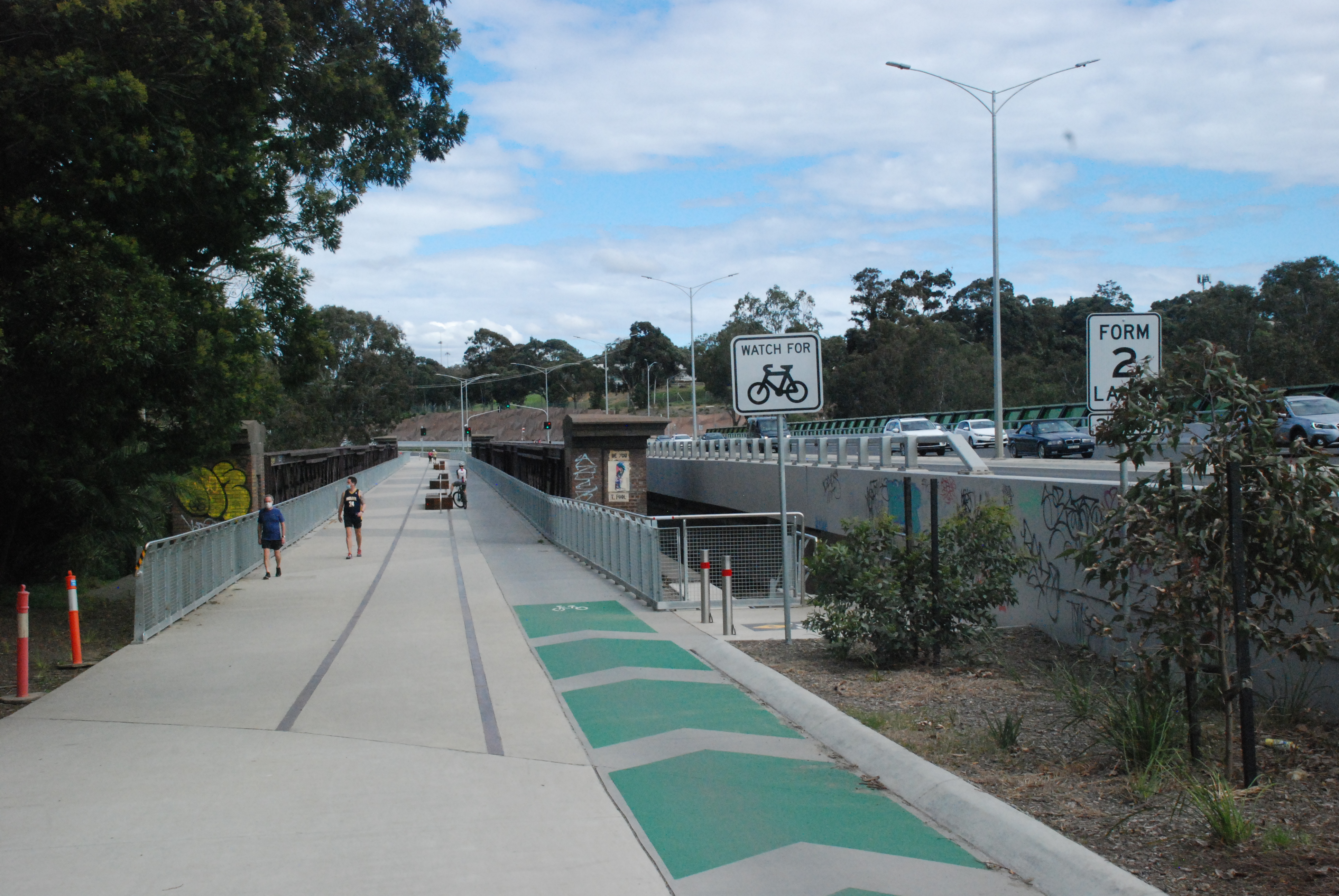
Chandler Highway that runs across the Chandler Bridge has a full length of less than 2 kilometers. It begins at Heidelberg Rd and ends 1.9 K later where it becomes Earl St. It lays a claim to being the shortest Highway in the world.
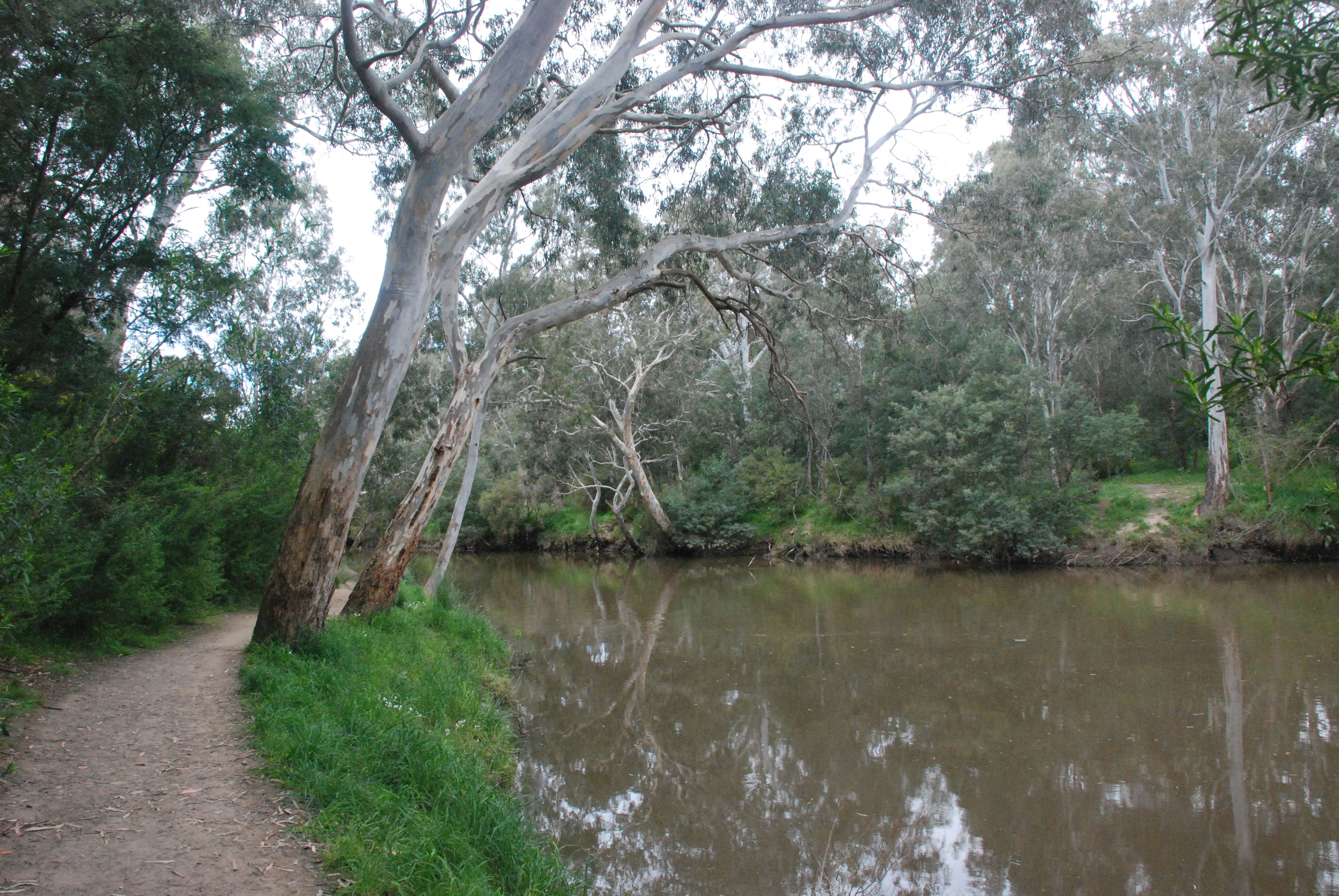
I turned right along the wide path that ran close to the river. It was a very picturesque and easy walk and seemed to be a favourite with runners.
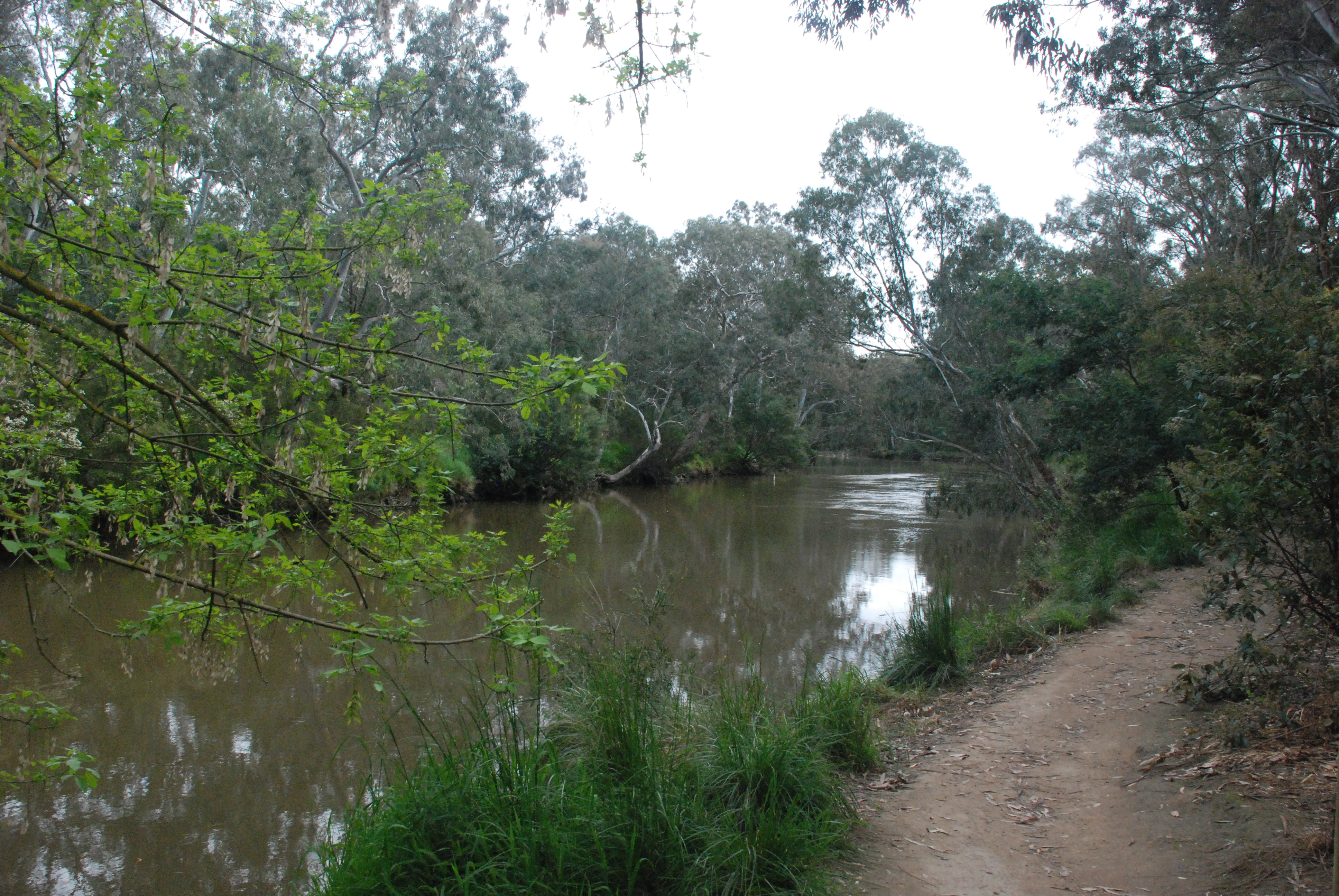
Beautiful gums edged the river

At the end of this short walk a small area with sculptures of native animals.
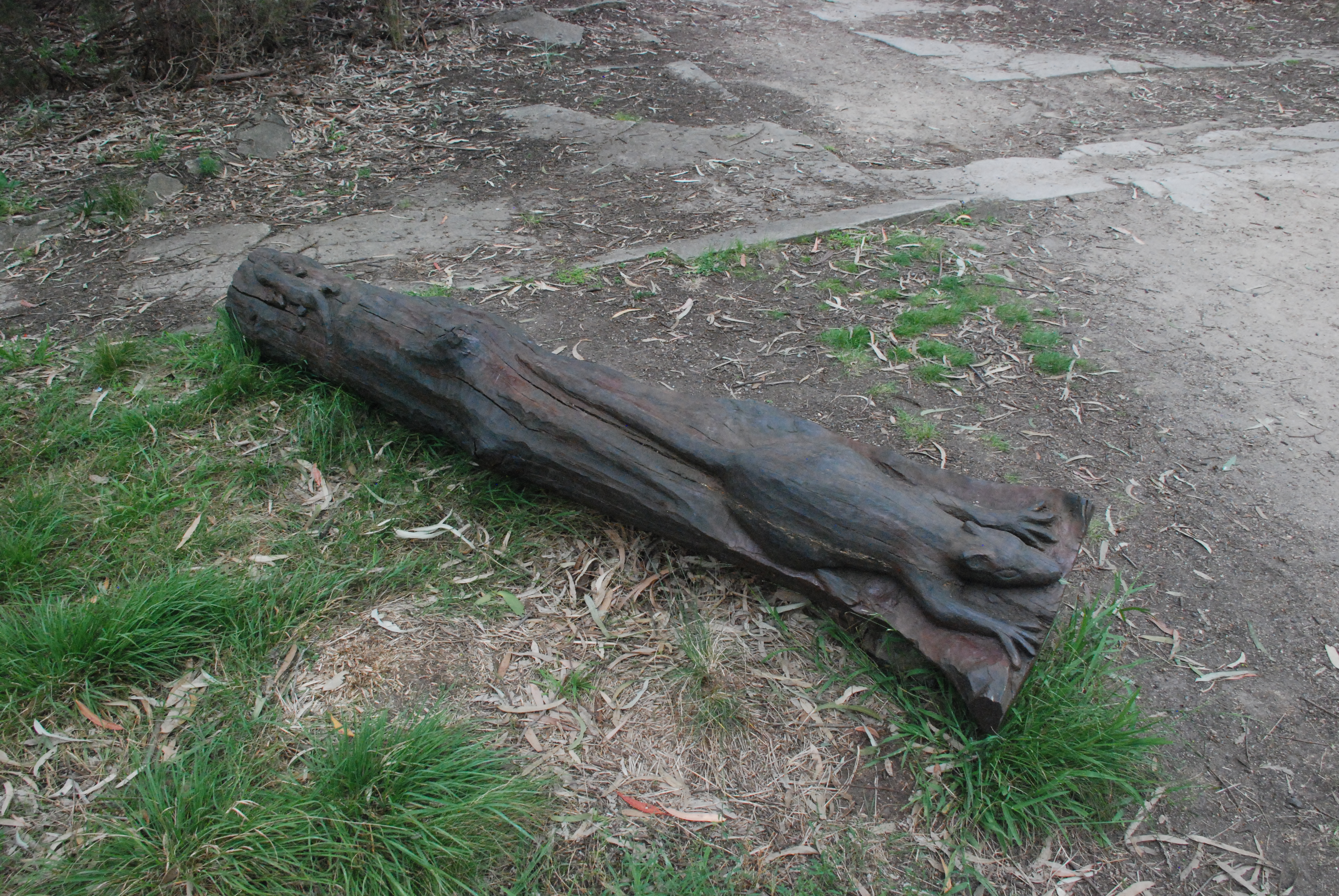
In among what appeared to be a small planting of native grasses a natural shelter.

Returning back along the path to the Chandler Bridge gave me a different view of the walk.
The original Chandler Highway Bridge was completed in 1891. The supervising engineer was John Monash who later became Sir John Monash. The Railway bridge over the Yarra was completed in 1890 and formed part of the Outer Circuit Line. Once completed the bridge was considered at the time to be one of the most extravagant ever build by the government. It only operated for a short time with its total closure in 1927.
After crossing the bridge I walked to the left on the bike friendly steel walkway down to the Yarra Trail and turned back to the left to go under the bridge and walk along the high side of the Yarra River opposite the bank I had just walked.
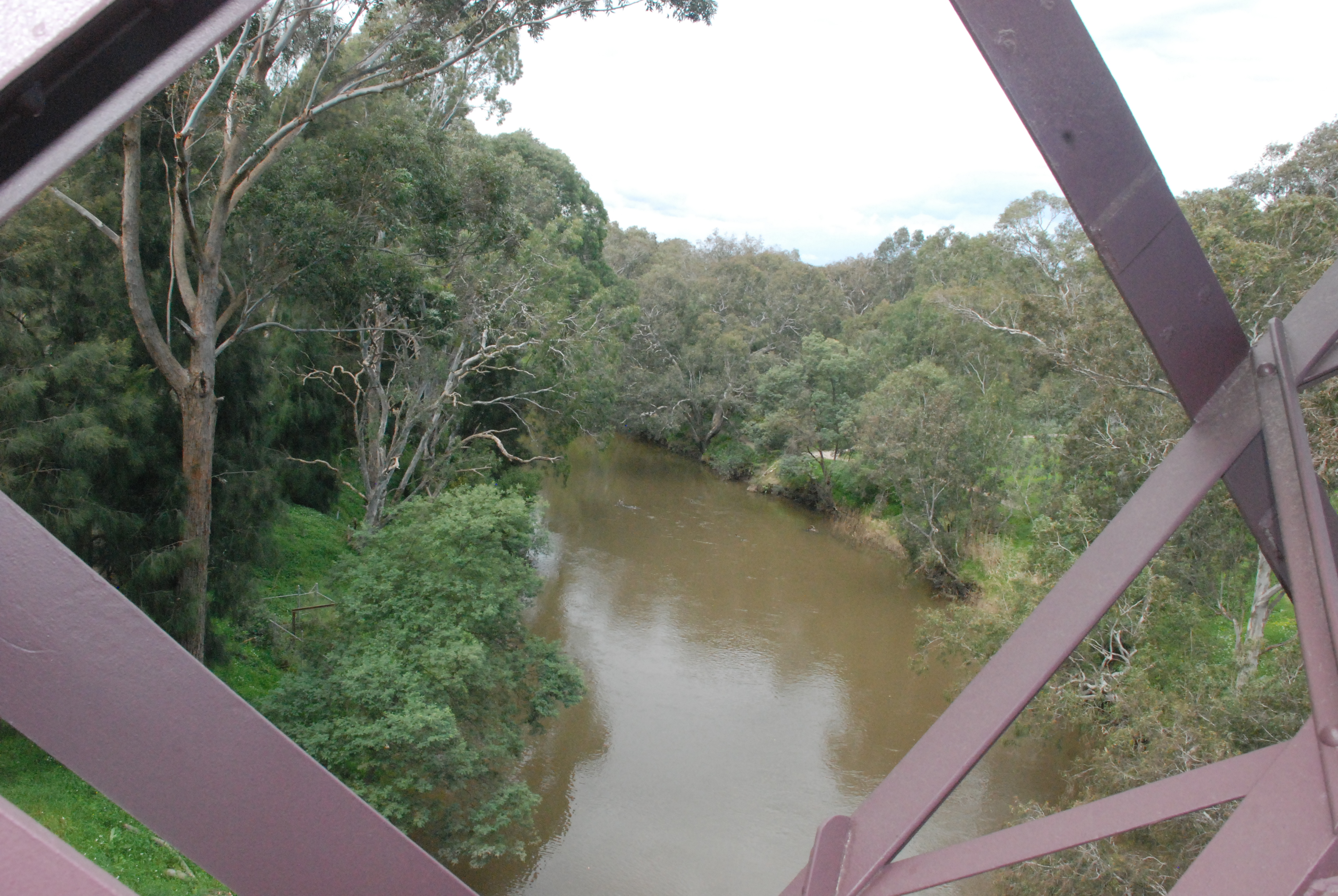
The bridge with its beautiful red brickwork pillars is one of the few remaining 19th Century bridges in the Metropolitan area.

Artwork adorns the entrance of the tunnel under the new bridge and forms part of the Main Yarra Trail.
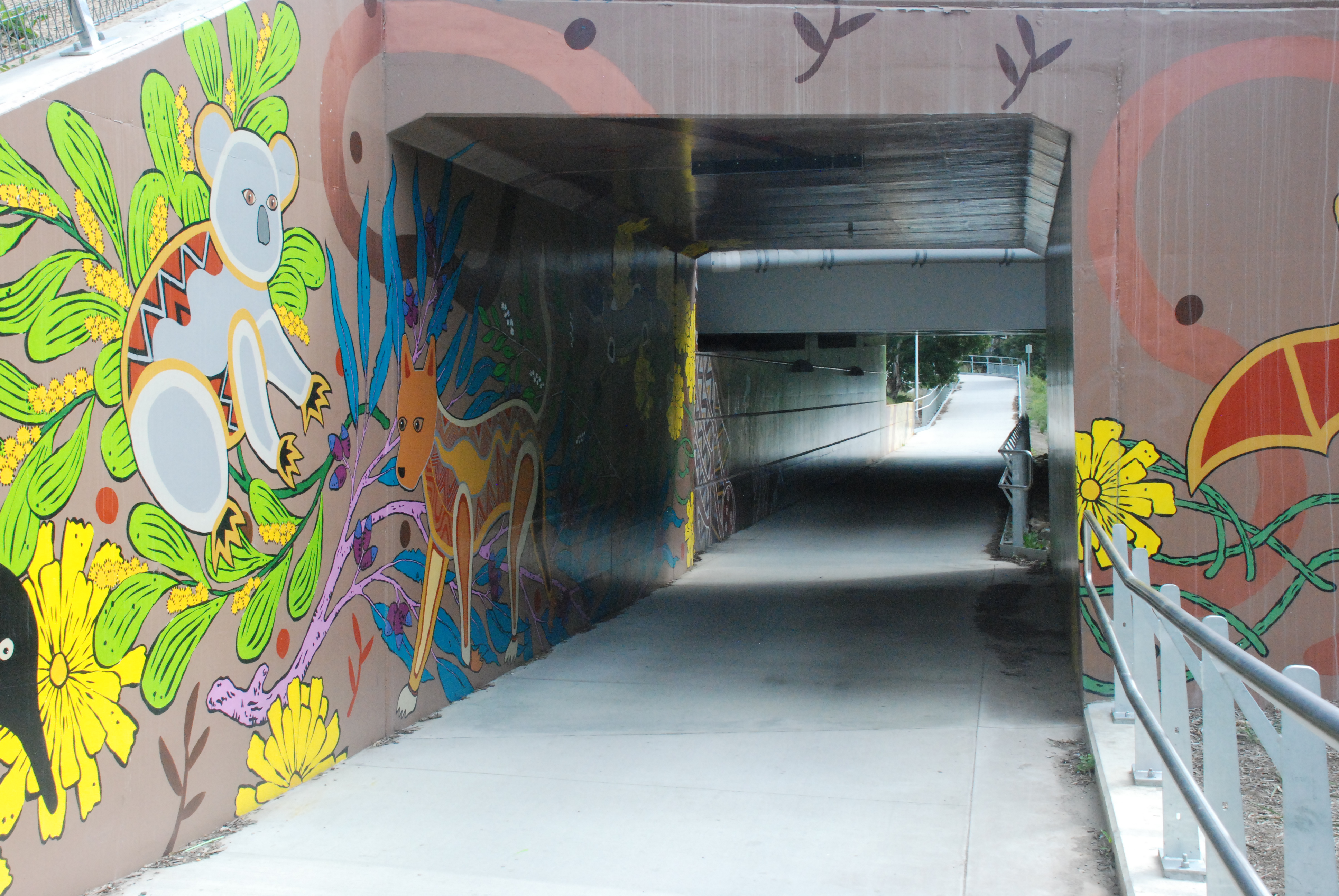
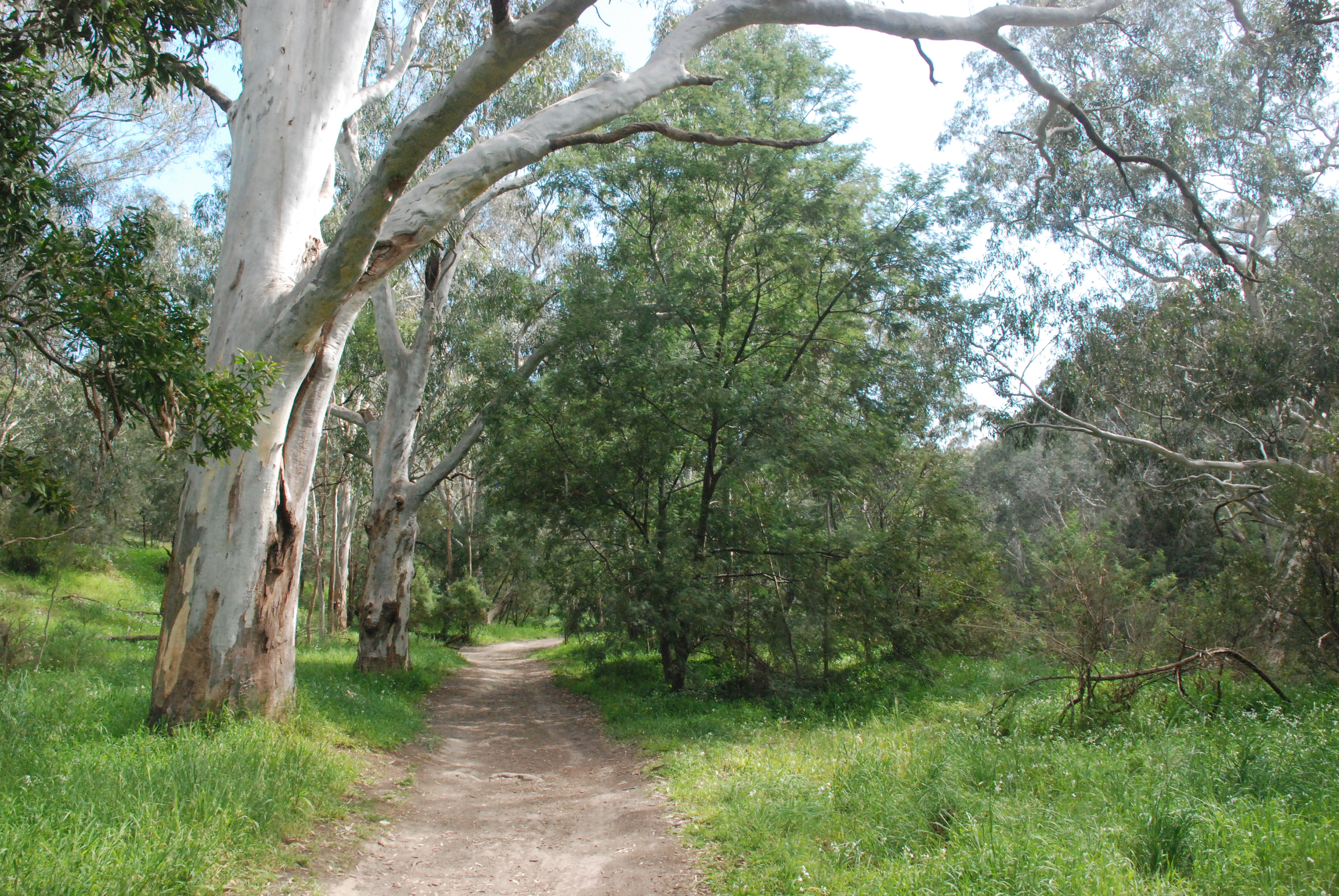
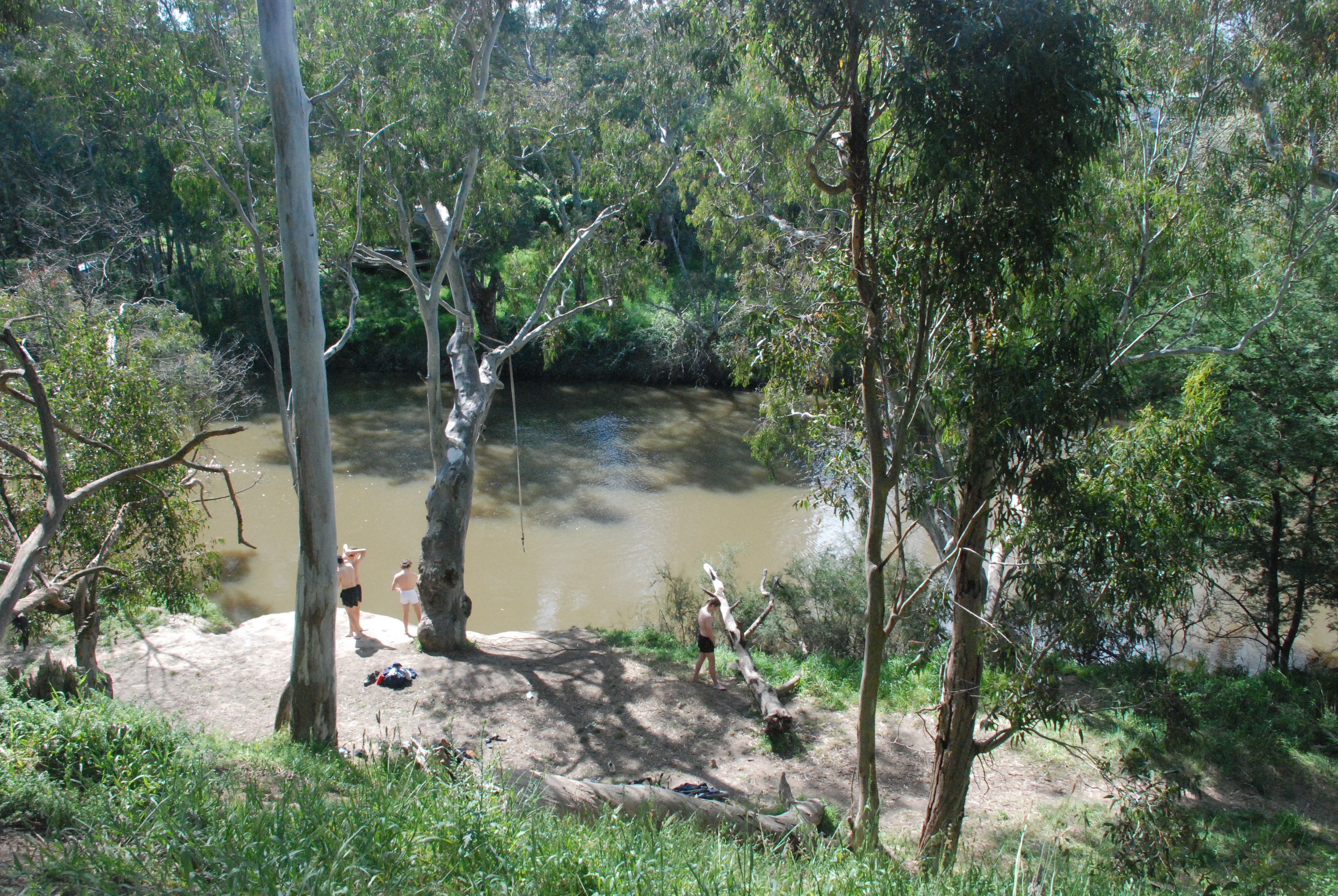
While the Main Yarra Trail runs for a distance along Yarra Boulevard there are two trails that run closer to the Yarra. I chose to walk on the trail that ran along the high side of the Yarra and at times along the cliff face. I wouldn’t recommend this trial in wet weather but today it was beautiful.
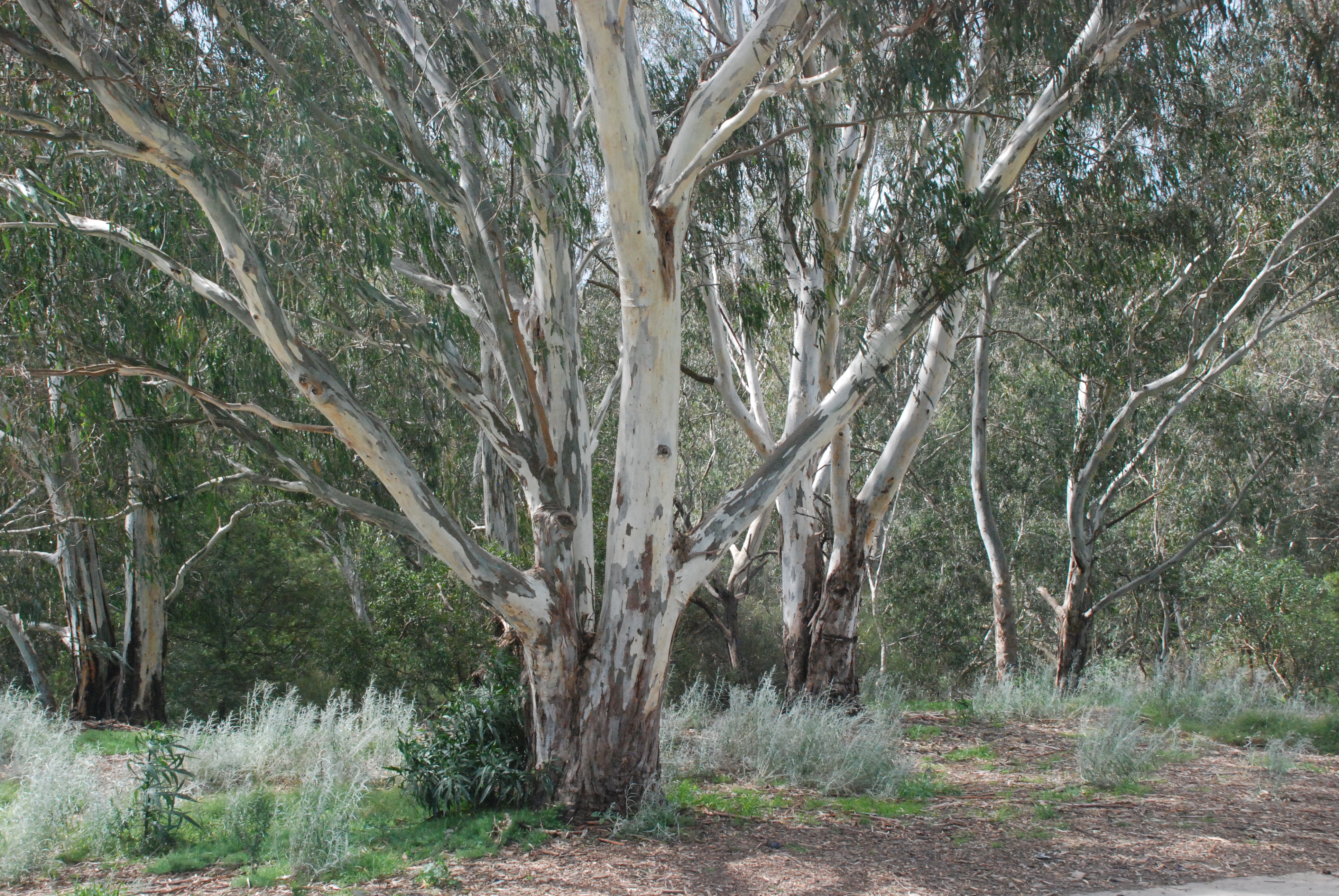
The trail started as a wide path but didn’t remain that way for long.

A group of teenagers enjoying a chilly dip.
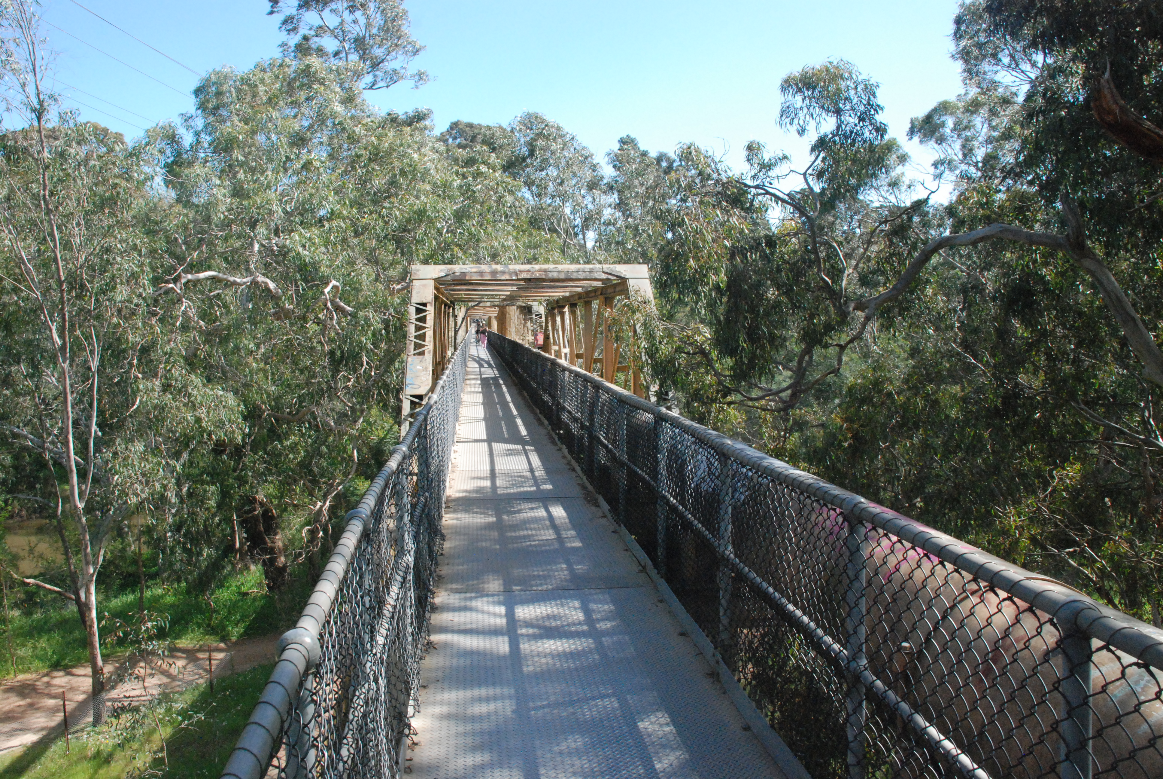
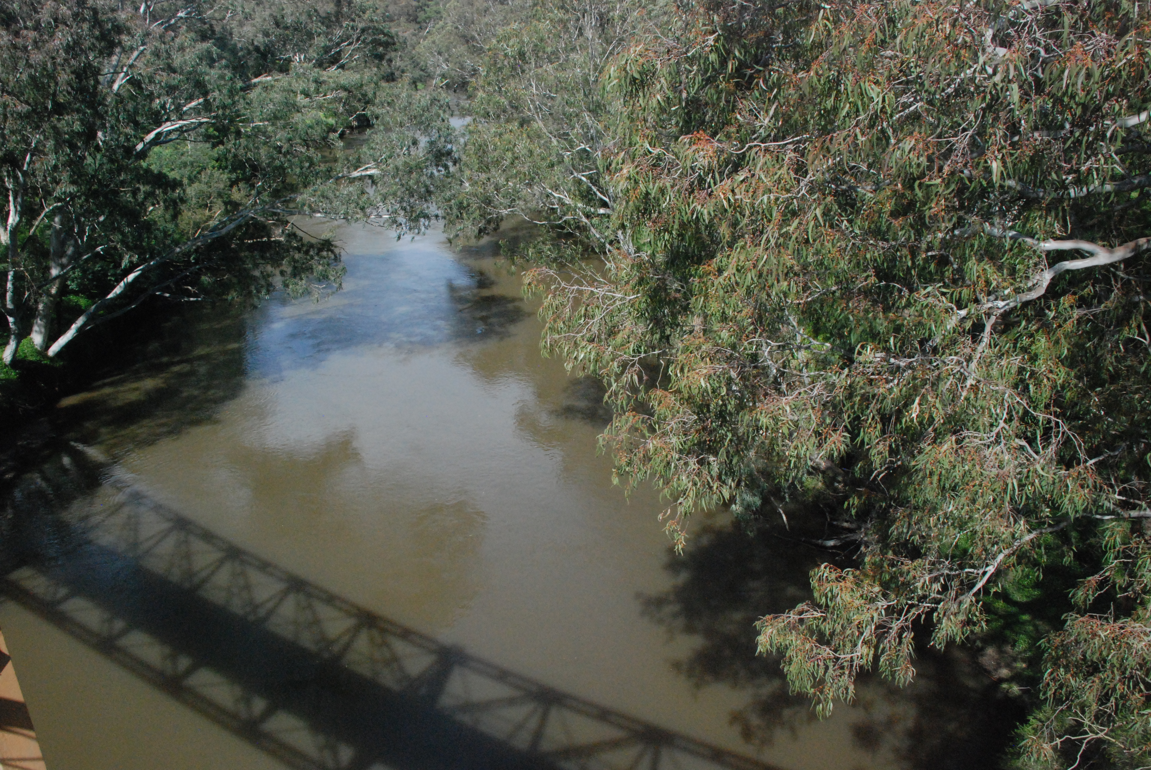
The original Fairfield Pipe Bridge was built in 1878 to carry water from the Yan Yean Reservoir to Kew. It was washed away in the floods of 1934 and replaced by the bridge now standing. The original pylons which remained after the flood have been demolished so no trace of the original bridge remains. This narrow bridge is for foot traffic only.
And this is where my intended walk went wrong. Forgetting that I needed to cross the bridge for my return journey home I walked it length and back again. The hand drawn map that I had with me, in the end was of no use. I followed the Main Yarra Trail back up along a road but I didn’t know where I was. I was then totally stunned when I realised that I was back at the Chandler Highway Bridge. Oh well at least I was no longer lost.
Home again this time via Grange Rd and Darebin Rd for a total of 15 kilometers. A nice day out.