From my home it is not far to the start of the Mt Evelyn Aqueduct Trail. The trail begins behind the bus stop near 246 Swansea Rd. It begins with a huge uphill climb, over a rough unmade track that looks like it doubles as a fire break. The trail is a 7 kilometer walk so I thought it would make for a nice 14 kilometer return walk. This is the full distance of the walk from Swansea Rd, Mt Evelyn to Hunter Rd, Silvan. Starting at Swansea Rd the first 200 meters uphill to Johns Crescent feels a lot further.

Crossing over Johns Crescent the path through to West Hill Drive becomes a bitumen path and the stroll uphill gentle. There are green Yarra Ranges signs showing the path of the trail along its full length.

Once over West Hill Drive the trail becomes a man made natural path. The walk is now picturesque, varied and flat.

The scenery broken by splashes of colour.
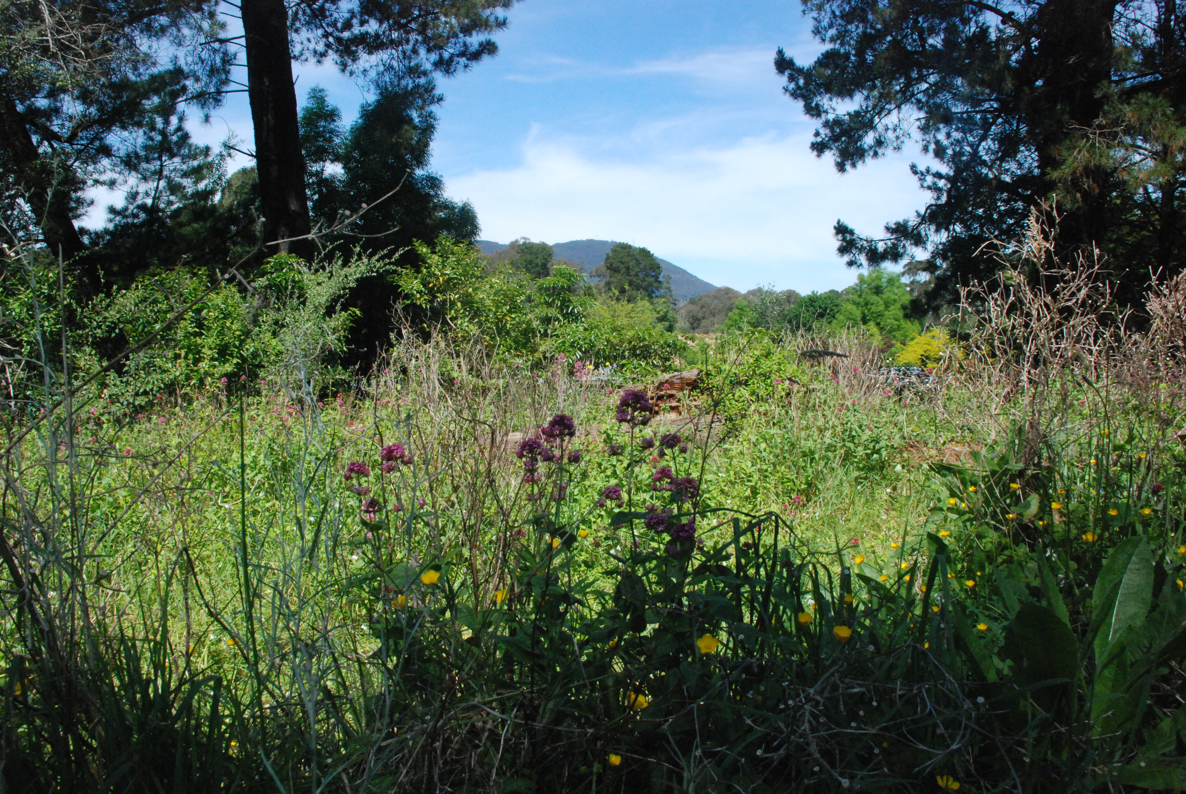
And bonus the entire walk is dog friendly.

Before reaching York Rd there is a fork on the trail. The left branch leads to the Mt Evelyn Shopping Centre where there are toilets, cafes and a supermarket. Continuing to the right the trail crosses York Rd, the only major road crossing on the trail. This road at times can be extremely busy and there is no pedestrian crossing here. Johns Crescent to York Rd 1.5 kilometers.

Once across busy York Rd the path narrows slightly which gives a more natural feel to the walk. This section of the trail to where it runs to a fork on the path which leads to the Warburton Trail is the busiest part of the trail with walkers, runners and cyclists.

and always with beautiful vistas.
From here I found the trail to be confusing and the only area where there were no signs or maybe I just missed them. I was unsure of where to go here. Checking the map later I could see that the trail to the left led to the Warburton Rail Trail and turning to the left onto the Rail Trail the path led back into Mt Evelyn. The fork to the right passed a parks gate so that is the one that I took.

Even if it was the wrong path the beautiful tree ferns made the walk worthwhile.

The path led to an intersection with a couple of dirt roads. I could see Joy Ave Kindergarten and knew that the trail passed by there somewhere but still no signs. I asked a couple of women walkers and they indicated that the trail went to the left of the kinder. I thought maybe if I had taken the other path it would have contained the signs that I had been looking for and my walk would have been less confusing. Well I guess, win some, lose some. Once at the road in front of the kinder I could see on the far side and to the left a green sign. Brilliant. York Rd to Joy Avenue 1.2 kilometers.

After a short walk I came out behind the Mt Evelyn Primary School car park and after another short walk this time along the side of Monbulk Rd, I crossed Watkins Crescent. From here the trail went bush again and became a serene, sun dappled walk with the occasional hum of not to distant traffic.

This area is the small Watkins Crescent Reserve and it was the nicest part of the walk so far.

The trail quietly wound its way through the small reserve

on a two man track

The trail now followed Monbulk Rd but at a distance. Nearly at Priestly Crescent and I came across this delightful stop. A Book Swap Library and below cutely painted free pet rocks and small tubes of curly leaf parsley for $2 a tube or free if you couldn’t afford the $2. I decided to pick one up on my return journey. I wasn’t too sure how I would handle it all with my camera and dog lead. I really needed a third hand.

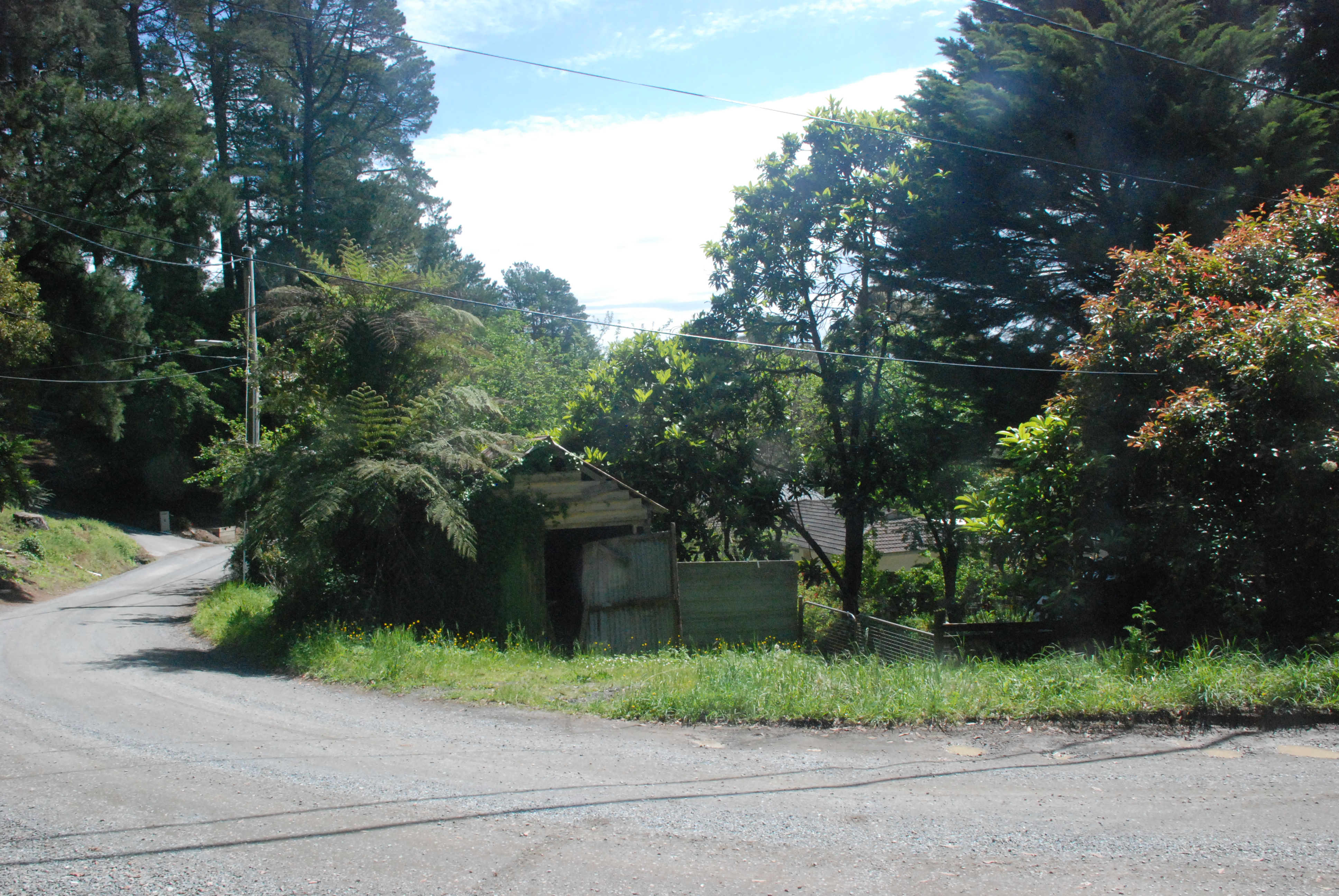
Arriving at Priestly Crescent the trail seemed to cross the road and continue uphill but there was no sign. I scanned the area and across the road to the right about 50 meters down there was a half hidden sign. The trail began again on the bend in the road opposite this old garage. From Joy Avenue to Priestly Crescent 2.2 kilometers.
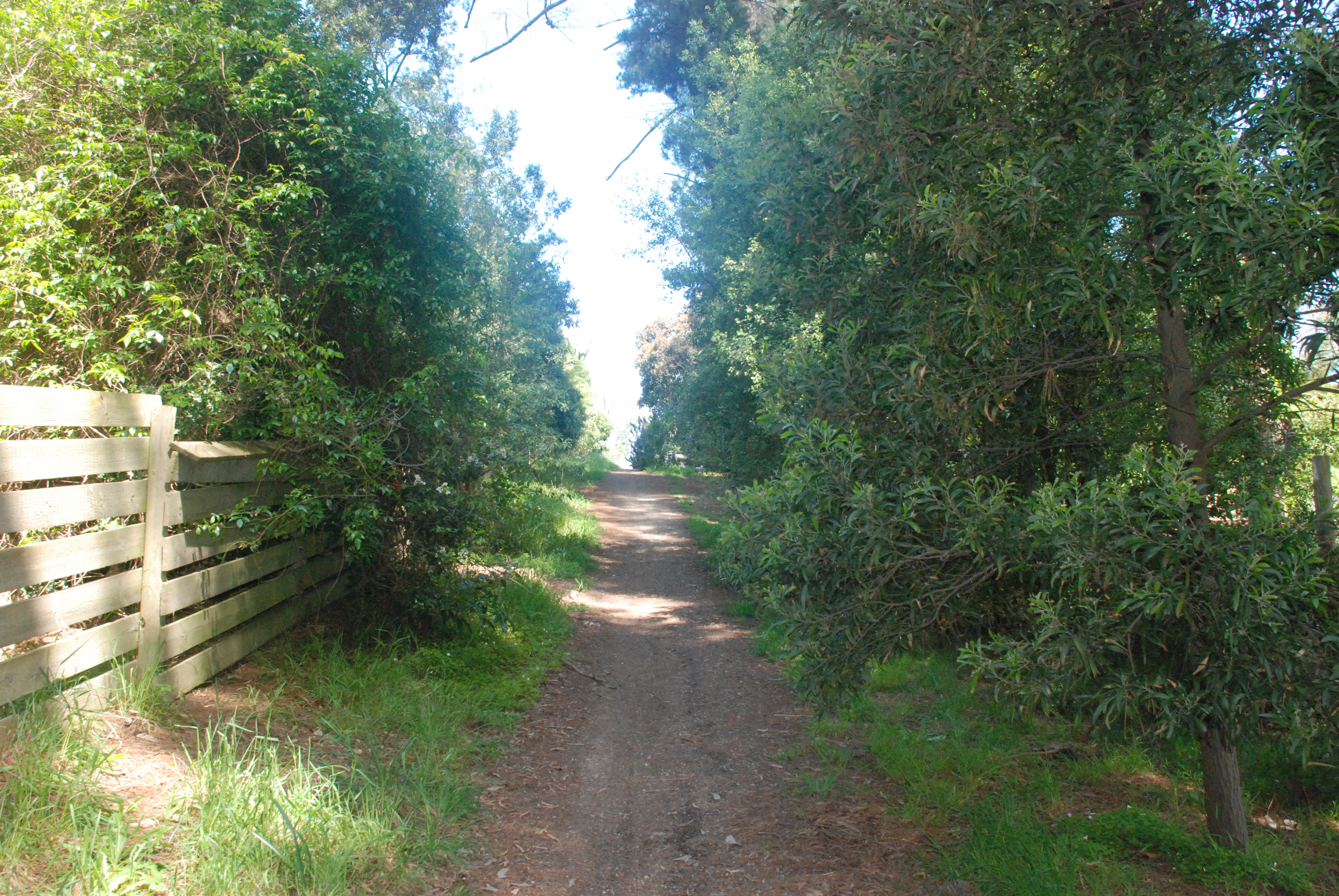
The trail ran between and behind the row of properties on Priestly Crescent. I followed it down to the cross street but there was no sign. I retraced my steps to the Parks gate I had passed. I had missed the small post sign with an arrow pointing to the left.
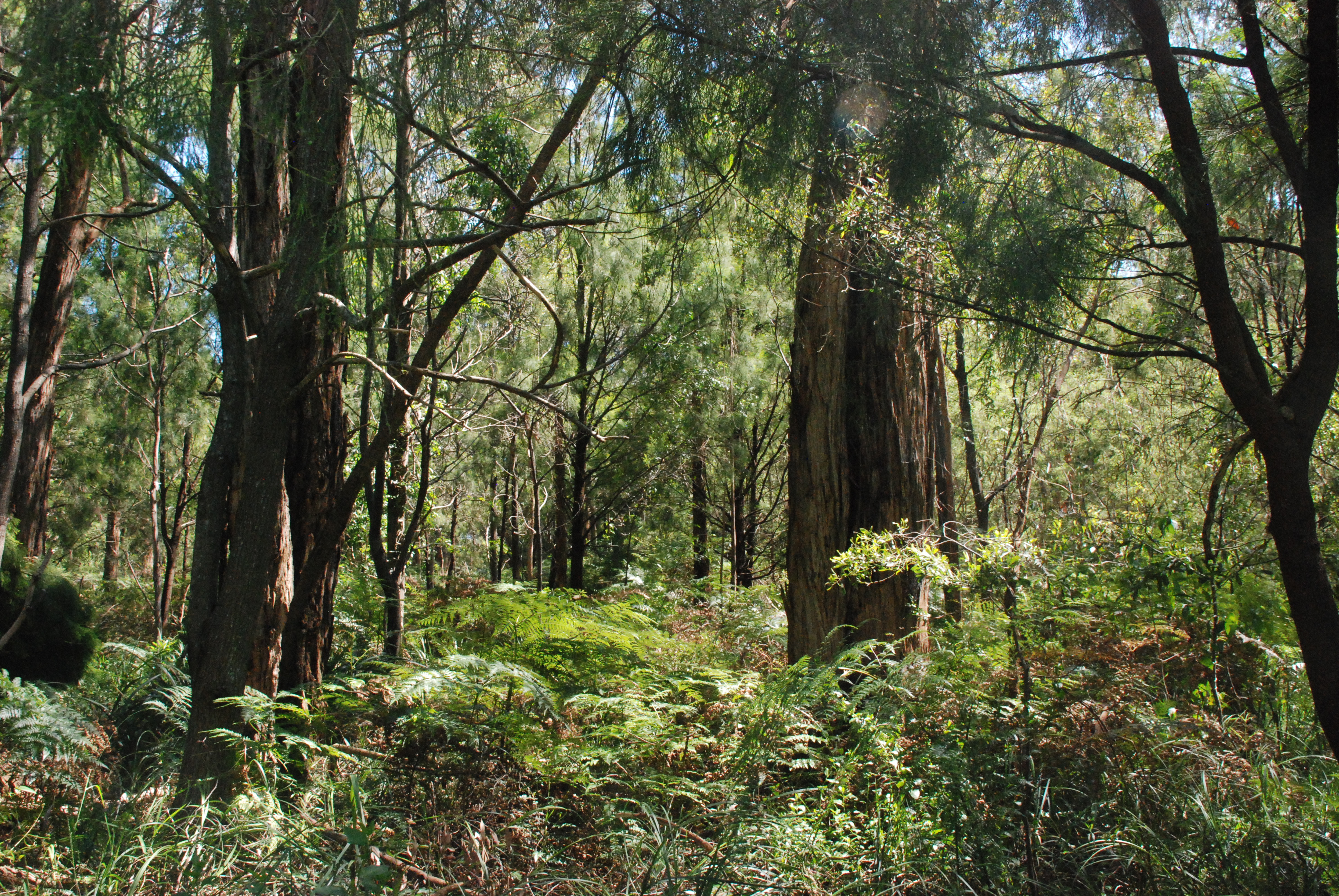
From here the last of the old open aqueduct began. After all of the recent rains moss covered water remained in the bottom of the aqueduct and fallen trees and branches lay across it. The walls of the aqueduct were still in good condition considering its years of abandonment.

The aqueduct was first built in 1911 to bring water from the O’Shannassy Reservoir to the Surrey Hills Reservoir, over a total distance of 82 kilometers. The section going through Mt Evelyn – except for the short distance adjacent to the railway line – was in an open concrete lined channel. This cut the town of Mt Evelyn in two. From what I can understand the aqueduct was widened in 1933 and the only section that remained as an open aqueduct was this section from Priestly Crescent to Hunter Rd. The rest was converted to underground pipe. In 1972 the Mt Evelyn Aqueduct was decommissioned.

On the right side of the trail the landscape dips down dramatically into a valley with tall slender timbers, ferns and fern trees and on the left above the aqueduct the high side of the mountain rises as equally dramatically.

It was all beautiful and truly the best part of the walk.

At times there were crossing mostly now overgrown and no longer in use where the open aqueduct went underground to give access to properties along it length. Most of them were now disused and very overgrown. This beautiful part of the walk was approximately 1.8 kilometers.

And at this time of year the tree ferns majestic with their new growths unfolding upwards. A very rewarding walk.
